Property Record
912 Terryville Ave, Bristol, CT 06010


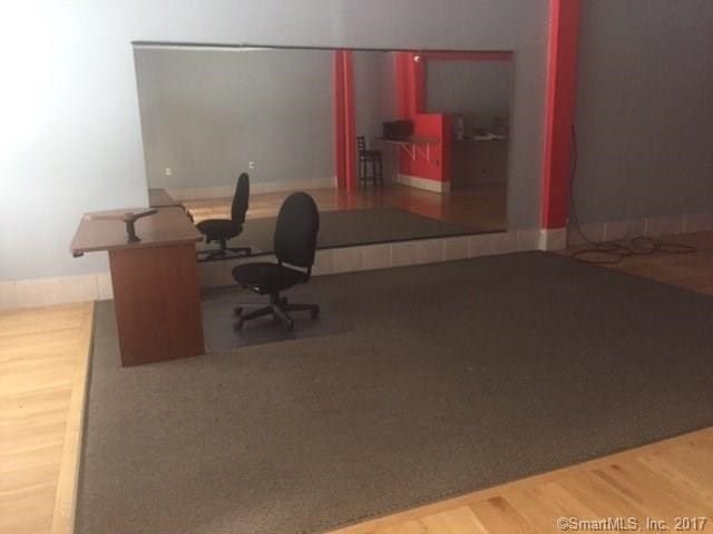
This Property Is For Sale
NEARBY LISTINGS FOR SALE OR LEASE
Property Detail
912 Terryville Ave
BRIS-000066-000000-000016-000035
Hartford
Departmentstore
Connecticut
X
16-35
09009C0040H
0.28 AC
2025
Southwest Outlying
2025
Hartford
405802
Hartford-West Hartford-East Hartford, CT
6,552 SF
DEMOGRAPHICS near 912 Terryville Ave
1 Mile
3 Mile
5 Mile
2024 Total Population
2,723
41,506
84,626
2029 Population
2,703
41,462
84,452
Pop Growth 2024-2029
(0.73%)
(0.11%)
(0.21%)
Average Age
43
41
42
2024 Total Households
1,189
17,021
35,173
HH Growth 2024-2029
(0.76%)
(0.14%)
(0.23%)
Median Household Inc
$84,652
$75,287
$77,576
Avg Household Size
2.30
2.40
2.30
2024 Avg HH Vehicles
2.00
2.00
2.00
Median Home Value
$266,128
$248,172
$241,119
Median Year Built
1980
1965
1967
Nearby Places
Map Layers
Map Styles
 Street
 Aerial
- Restaurants
- Banks
- Shops
- Fitness
- Groceries
PUBLIC TRANSPORTATION
AIRPORT
Bradley International
DRIVE
WALK
Distance
Bradley International
57 min
32.6 mi
Tweed/New Haven
DRIVE
WALK
Distance
Tweed/New Haven
53 min
35.4 mi
Freight Ports
Port of New Haven
DRIVE
WALK
Distance
Port of New Haven
48 min
33.1 mi
Nearby Properties
Address
Land Use
TOTAL SIZE
Lot Size
Zoning
Address
Land Use
TOTAL SIZE
Lot Size
Zoning
349,054 SF
12.03 AC
R-15
Address
Land Use
TOTAL SIZE
Lot Size
Zoning
139 AC
IP-25
Address
Land Use
TOTAL SIZE
Lot Size
Zoning
121,917 SF
28.60 AC
R-15
Address
Land Use
TOTAL SIZE
Lot Size
Zoning
12,892 SF
20.91 AC
A
Address
Land Use
TOTAL SIZE
Lot Size
Zoning
171,826 SF
36.60 AC
R-15
Address
Land Use
TOTAL SIZE
Lot Size
Zoning
62,232 SF
0.90 AC
BD-1
Address
Land Use
TOTAL SIZE
Lot Size
Zoning
169,727 SF
23.90 AC
R-25
Address
Land Use
TOTAL SIZE
Lot Size
Zoning
4,000 SF
13.78 AC
BG
Address
Land Use
TOTAL SIZE
Lot Size
Zoning
120,801 SF
8.35 AC
R-40
Address
Land Use
TOTAL SIZE
Lot Size
Zoning
51,851 SF
1.32 AC
BD-1
Address
Land Use
TOTAL SIZE
Lot Size
Zoning
1,250 SF
14.90 AC
I
Address
Land Use
TOTAL SIZE
Lot Size
Zoning
47,218 SF
3.62 AC
BD-1
Address
Land Use
TOTAL SIZE
Lot Size
Zoning
3.35 AC
RA2
Address
Land Use
TOTAL SIZE
Lot Size
Zoning
80,776 SF
2.49 AC
BD-1
Address
Land Use
TOTAL SIZE
Lot Size
Zoning
60,935 SF
0.92 AC
BD-1
Address
Land Use
TOTAL SIZE
Lot Size
Zoning
134,955 SF
3.30 AC
BD-2
Address
Land Use
TOTAL SIZE
Lot Size
Zoning
63,101 SF
15.50 AC
R-25
Address
Land Use
TOTAL SIZE
Lot Size
Zoning
45,377 SF
91.90 AC
R-40
Address
Land Use
TOTAL SIZE
Lot Size
Zoning
68,520 SF
2 AC
BD-1
Address
Land Use
TOTAL SIZE
Lot Size
Zoning
47,271 SF
1.32 AC
R-15/B
Address
Land Use
TOTAL SIZE
Lot Size
Zoning
9,430 SF
3.91 AC
R-15
Address
Land Use
TOTAL SIZE
Lot Size
Zoning
28,480 SF
5.50 AC
A
Address
Land Use
TOTAL SIZE
Lot Size
Zoning
81,741 SF
2.76 AC
R-15/R
Address
Land Use
TOTAL SIZE
Lot Size
Zoning
49,977 SF
15.56 AC
R-25
Address
Land Use
TOTAL SIZE
Lot Size
Zoning
11,735 SF
2.33 AC
BG
Address
Land Use
TOTAL SIZE
Lot Size
Zoning
38,542 SF
1.96 AC
BD-1
Address
Land Use
TOTAL SIZE
Lot Size
Zoning
205,964 SF
14.35 AC
IP-3
Address
Land Use
TOTAL SIZE
Lot Size
Zoning
3,806 SF
1.39 AC
R-15/B
Address
Land Use
TOTAL SIZE
Lot Size
Zoning
48,785 SF
2.75 AC
BD-1
Address
Land Use
TOTAL SIZE
Lot Size
Zoning
38,481 SF
1.98 AC
R-15/R
The World's #1 Commercial Real Estate Marketplace
Connect with us
© 2025 CoStar Group
The information above has been obtained from sources believed reliable. While we do not doubt its accuracy we have not verified it and make no guarantee, warranty or representation about it. It is your responsibility to independently confirm its accuracy and completeness. Any projections, opinions, assumptions, or estimates used are for example only and do not represent the current or future performance of the property. The value of this transaction to you depends on tax and other factors which should be evaluated by your tax, financial, and legal advisors. You and your advisors should conduct a careful, independent investigation of the property to determine to your satisfaction the suitability of the property for your needs.