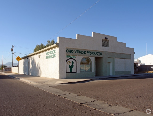
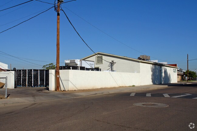
Property Record
9151 W Monroe St, Tolleson, AZ 85353

Property Detail
9151 W Monroe St
101-08-129A
TOLLESON TOWNSITE MCR 28/49
Storebuilding
MARICOPA
C-N
Arizona
C and X Area of minimal flood hazard, usually depicted on FIRMs as above the 500-year flood level.
21
2025
0.16 AC
2025
Tolleson
083000
Phoenix
4,000 SF
Phoenix-Mesa-Chandler, AZ
NEARBY LISTINGS FOR SALE OR LEASE
DEMOGRAPHICS near 9151 W Monroe St
1 mile
3 mile
5 mile
2025 Total Population
7,482
111,215
316,094
2030 Population
7,781
115,351
328,475
Pop Growth 2025-2030
+ 4.00%
+ 3.72%
+ 3.92%
Average Age
35
33
33
2025 Total Households
2,242
31,025
89,092
HH Growth 2025-2030
+ 4.06%
+ 3.73%
+ 4.01%
Median Household Inc
$56,220
$83,879
$78,841
Avg Household Size
3.40
3.50
3.40
2025 Avg HH Vehicles
2.00
2.00
2.00
Median Home Value
$335,821
$381,114
$371,962
Median Year Built
1989
2003
1999
Nearby Places
Map Layers
Map Styles
 Street
 Aerial
Layers
 Traffic
 Biking
Places
Listings with unknown addresses are not visible on the map
- Restaurants
- Banks
- Shops
- Fitness
- Groceries
PUBLIC TRANSPORTATION
AIRPORT
Phoenix Sky Harbor International
Drive
Walk
Distance
Phoenix Sky Harbor International
25 min
17.6 mi
Freight Ports
Port of San Diego
Drive
Walk
Distance
Port of San Diego
384 min
345.2 mi
Nearby Properties
Address
Land Use
TOTAL SIZE
Lot Size
Zoning
Address
Land Use
TOTAL SIZE
Lot Size
Zoning
12.80 AC
Address
Land Use
TOTAL SIZE
Lot Size
Zoning
896,916 SF
25.91 AC
C-C
Address
Land Use
TOTAL SIZE
Lot Size
Zoning
Address
Land Use
TOTAL SIZE
Lot Size
Zoning
Address
Land Use
TOTAL SIZE
Lot Size
Zoning
1,539,348 SF
143.97 AC
A-1
Address
Land Use
TOTAL SIZE
Lot Size
Zoning
889,089 SF
83.11 AC
I-1
Address
Land Use
TOTAL SIZE
Lot Size
Zoning
1,377,683 SF
72.08 AC
I-1
Address
Land Use
TOTAL SIZE
Lot Size
Zoning
134.65 AC
S1
Address
Land Use
TOTAL SIZE
Lot Size
Zoning
899,427 SF
73.79 AC
R1-6
Address
Land Use
TOTAL SIZE
Lot Size
Zoning
1,267,497 SF
70.43 AC
A1
Address
Land Use
TOTAL SIZE
Lot Size
Zoning
1,100,500 SF
57.61 AC
PUD
Address
Land Use
TOTAL SIZE
Lot Size
Zoning
177,052 SF
2.69 AC
THEBLVDD
Address
Land Use
TOTAL SIZE
Lot Size
Zoning
375,848 SF
117.15 AC
A1
Address
Land Use
TOTAL SIZE
Lot Size
Zoning
728,550 SF
41.98 AC
Address
Land Use
TOTAL SIZE
Lot Size
Zoning
763,410 SF
45.50 AC
Address
Land Use
TOTAL SIZE
Lot Size
Zoning
1,009,390 SF
44.22 AC
A1
Address
Land Use
TOTAL SIZE
Lot Size
Zoning
697,149 SF
37.60 AC
CP/GCP
Address
Land Use
TOTAL SIZE
Lot Size
Zoning
750,037 SF
49.40 AC
I1
Address
Land Use
TOTAL SIZE
Lot Size
Zoning
587,843 SF
20.49 AC
PAD
Address
Land Use
TOTAL SIZE
Lot Size
Zoning
369,413 SF
16.39 AC
THEBLVDD
Address
Land Use
TOTAL SIZE
Lot Size
Zoning
351,903 SF
29.13 AC
A1
Address
Land Use
TOTAL SIZE
Lot Size
Zoning
466,868 SF
45.99 AC
I-1
Address
Land Use
TOTAL SIZE
Lot Size
Zoning
580,382 SF
31.77 AC
PAD
Address
Land Use
TOTAL SIZE
Lot Size
Zoning
432,022 SF
19.33 AC
PAD
Address
Land Use
TOTAL SIZE
Lot Size
Zoning
797,310 SF
36.82 AC
I-1
Address
Land Use
TOTAL SIZE
Lot Size
Zoning
682,727 SF
37.38 AC
I-1
Address
Land Use
TOTAL SIZE
Lot Size
Zoning
569,792 SF
32.25 AC
I-1
Address
Land Use
TOTAL SIZE
Lot Size
Zoning
628,480 SF
34.45 AC
PAD
Address
Land Use
TOTAL SIZE
Lot Size
Zoning
660,980 SF
40.15 AC
The World's #1 Commercial Real Estate Marketplace
Connect with us
© 2026 CoStar Group
The information above has been obtained from sources believed reliable. While we do not doubt its accuracy we have not verified it and make no guarantee, warranty or representation about it. It is your responsibility to independently confirm its accuracy and completeness. Any projections, opinions, assumptions, or estimates used are for example only and do not represent the current or future performance of the property. The value of this transaction to you depends on tax and other factors which should be evaluated by your tax, financial, and legal advisors. You and your advisors should conduct a careful, independent investigation of the property to determine to your satisfaction the suitability of the property for your needs.