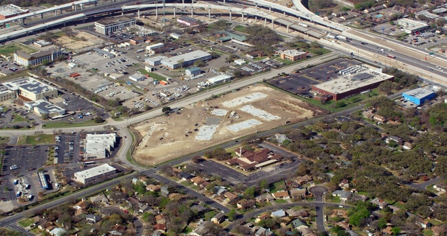
Property Record
916 Norwood Park Blvd, Austin, TX 78753

NEARBY LISTINGS FOR SALE OR LEASE
Property Detail
916 Norwood Park Blvd
Austin-Round Rock-San Marcos, TX
Norwood Park Rsb Lt 6&7 Replat Of Replat
772115
LOT 1-2 NORWOOD PARK RSB LT 6&7 REPLAT OF REPLAT LTS 2-4
Multifamilydwelling
Travis
X
Texas
48453C0455J
1-2
0
11.29 AC
2025
Heritage Hills
040300
Austin
254,796 SF
DEMOGRAPHICS near 916 Norwood Park Blvd
1 Mile
3 Mile
5 Mile
2024 Total Population
20,134
150,826
358,568
2029 Population
21,827
163,737
389,921
Pop Growth 2024-2029
+ 8.41%
+ 8.56%
+ 8.74%
Average Age
34
36
36
2024 Total Households
7,525
63,370
152,567
HH Growth 2024-2029
+ 9.16%
+ 9.38%
+ 9.68%
Median Household Inc
$38,952
$59,710
$64,975
Avg Household Size
2.50
2.30
2.20
2024 Avg HH Vehicles
2.00
2.00
2.00
Median Home Value
$297,142
$434,963
$475,326
Median Year Built
1983
1980
1986
Nearby Places
Map Layers
Map Styles
 Street
 Aerial
- Restaurants
- Banks
- Shops
- Fitness
- Groceries
PUBLIC TRANSPORTATION
COMMUTER RAIL
Austin (Texas Eagle - Amtrak)
DRIVE
WALK
Distance
Austin (Texas Eagle - Amtrak)
15 min
8.0 mi
AIRPORT
Austin-Bergstrom International
DRIVE
WALK
Distance
Austin-Bergstrom International
27 min
16.6 mi
Freight Ports
Calhoun Port
DRIVE
WALK
Distance
Calhoun Port
193 min
160.1 mi
Nearby Properties
Address
Land Use
TOTAL SIZE
Lot Size
Zoning
Address
Land Use
TOTAL SIZE
Lot Size
Zoning
548,399 SF
23.82 AC
Address
Land Use
TOTAL SIZE
Lot Size
Zoning
241,998 SF
2.42 AC
Address
Land Use
TOTAL SIZE
Lot Size
Zoning
480,823 SF
18.46 AC
Address
Land Use
TOTAL SIZE
Lot Size
Zoning
322,150 SF
3.83 AC
Address
Land Use
TOTAL SIZE
Lot Size
Zoning
609,823 SF
3.33 AC
Address
Land Use
TOTAL SIZE
Lot Size
Zoning
372,075 SF
4.97 AC
Address
Land Use
TOTAL SIZE
Lot Size
Zoning
346,319 SF
6.53 AC
Address
Land Use
TOTAL SIZE
Lot Size
Zoning
297,356 SF
4.32 AC
Address
Land Use
TOTAL SIZE
Lot Size
Zoning
425,200 SF
2.49 AC
Address
Land Use
TOTAL SIZE
Lot Size
Zoning
274,228 SF
4.95 AC
Address
Land Use
TOTAL SIZE
Lot Size
Zoning
276,772 SF
4.68 AC
Address
Land Use
TOTAL SIZE
Lot Size
Zoning
32.82 AC
Address
Land Use
TOTAL SIZE
Lot Size
Zoning
274,943 SF
42.35 AC
Address
Land Use
TOTAL SIZE
Lot Size
Zoning
467,647 SF
3.54 AC
Address
Land Use
TOTAL SIZE
Lot Size
Zoning
16.79 AC
Address
Land Use
TOTAL SIZE
Lot Size
Zoning
18.45 AC
Address
Land Use
TOTAL SIZE
Lot Size
Zoning
248,325 SF
2.46 AC
Address
Land Use
TOTAL SIZE
Lot Size
Zoning
16.11 AC
Address
Land Use
TOTAL SIZE
Lot Size
Zoning
555,296 SF
4.07 AC
Address
Land Use
TOTAL SIZE
Lot Size
Zoning
267,091 SF
3.90 AC
Address
Land Use
TOTAL SIZE
Lot Size
Zoning
278,429 SF
3.76 AC
Address
Land Use
TOTAL SIZE
Lot Size
Zoning
263,177 SF
4.65 AC
Address
Land Use
TOTAL SIZE
Lot Size
Zoning
115,640 SF
18 AC
Address
Land Use
TOTAL SIZE
Lot Size
Zoning
274,864 SF
3.33 AC
Address
Land Use
TOTAL SIZE
Lot Size
Zoning
242,722 SF
2.72 AC
Address
Land Use
TOTAL SIZE
Lot Size
Zoning
278,100 SF
3.55 AC
Address
Land Use
TOTAL SIZE
Lot Size
Zoning
264,401 SF
10.48 AC
Address
Land Use
TOTAL SIZE
Lot Size
Zoning
237,603 SF
8.38 AC
Address
Land Use
TOTAL SIZE
Lot Size
Zoning
252,450 SF
2.72 AC
Address
Land Use
TOTAL SIZE
Lot Size
Zoning
148,390 SF
15.86 AC
The World's #1 Commercial Real Estate Marketplace
Connect with us
© 2026 CoStar Group
The information above has been obtained from sources believed reliable. While we do not doubt its accuracy we have not verified it and make no guarantee, warranty or representation about it. It is your responsibility to independently confirm its accuracy and completeness. Any projections, opinions, assumptions, or estimates used are for example only and do not represent the current or future performance of the property. The value of this transaction to you depends on tax and other factors which should be evaluated by your tax, financial, and legal advisors. You and your advisors should conduct a careful, independent investigation of the property to determine to your satisfaction the suitability of the property for your needs.