Property Record
9175 Caratoke Hwy, Point Harbor, NC 27964
NEARBY LISTINGS FOR SALE OR LEASE
-
-
View all Point Harbor listings for sale on LoopNet.com
Property Detail
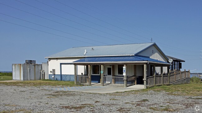
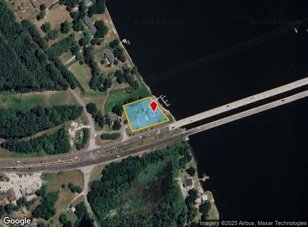
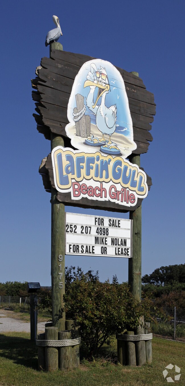
9175 Caratoke Hwy
Virginia Beach-Norfolk-Newport News, VA-NC
Point Harbor Development Llc Plat Of 104
0132-000-0111-0000
LOT NO. 111
Restaurantbuilding
Currituck
AE
North Carolina
3720984600K
111
2025
0.82 AC
2025
Currituck County
110403
Hampton Roads
2,940 SF
DEMOGRAPHICS near 9175 Caratoke Hwy
1 Mile
3 Mile
5 Mile
2024 Total Population
362
1,362
9,226
2029 Population
455
1,700
10,586
Pop Growth 2024-2029
+ 25.69%
+ 24.82%
+ 14.74%
Average Age
45
45
47
2024 Total Households
149
557
3,860
HH Growth 2024-2029
+ 26.17%
+ 24.78%
+ 14.43%
Median Household Inc
$65,625
$69,473
$90,567
Avg Household Size
2.40
2.40
2.40
2024 Avg HH Vehicles
2.00
2.00
2.00
Median Home Value
$267,307
$288,297
$424,320
Median Year Built
1994
1995
1991
Nearby Places
Map Layers
Map Styles
 Street
 Aerial
- Restaurants
- Banks
- Shops
- Fitness
- Groceries
Nearby Properties
Address
Land Use
TOTAL SIZE
Lot Size
Zoning
Address
Land Use
TOTAL SIZE
Lot Size
Zoning
2,352 SF
96.77 AC
HI
Address
Land Use
TOTAL SIZE
Lot Size
Zoning
107.25 AC
Address
Land Use
TOTAL SIZE
Lot Size
Zoning
8,010 SF
1.15 AC
Address
Land Use
TOTAL SIZE
Lot Size
Zoning
15,600 SF
9.84 AC
GB
Address
Land Use
TOTAL SIZE
Lot Size
Zoning
1,408 SF
7.87 AC
GB
Address
Land Use
TOTAL SIZE
Lot Size
Zoning
9,683 SF
151 AC
GB
Address
Land Use
TOTAL SIZE
Lot Size
Zoning
3,188 SF
2.38 AC
Address
Land Use
TOTAL SIZE
Lot Size
Zoning
8,812 SF
1.06 AC
Address
Land Use
TOTAL SIZE
Lot Size
Zoning
Address
Land Use
TOTAL SIZE
Lot Size
Zoning
4,008 SF
1.96 AC
Address
Land Use
TOTAL SIZE
Lot Size
Zoning
8,631 SF
10.50 AC
GB
Address
Land Use
TOTAL SIZE
Lot Size
Zoning
900 SF
5.39 AC
GB
Address
Land Use
TOTAL SIZE
Lot Size
Zoning
15,168 SF
1.93 AC
LI
Address
Land Use
TOTAL SIZE
Lot Size
Zoning
876 SF
100.77 AC
GB
Address
Land Use
TOTAL SIZE
Lot Size
Zoning
24.57 AC
SFM
Address
Land Use
TOTAL SIZE
Lot Size
Zoning
5,662 SF
1.02 AC
Address
Land Use
TOTAL SIZE
Lot Size
Zoning
3,000 SF
2.54 AC
PD-M
Address
Land Use
TOTAL SIZE
Lot Size
Zoning
16,135 SF
3.27 AC
GB
Address
Land Use
TOTAL SIZE
Lot Size
Zoning
3,972 SF
4 AC
SFM
Address
Land Use
TOTAL SIZE
Lot Size
Zoning
3,190 SF
5.30 AC
LI
Address
Land Use
TOTAL SIZE
Lot Size
Zoning
3,230 SF
0.67 AC
Address
Land Use
TOTAL SIZE
Lot Size
Zoning
3,694 SF
25.11 AC
AG
Address
Land Use
TOTAL SIZE
Lot Size
Zoning
4,099 SF
1.27 AC
SFM
Address
Land Use
TOTAL SIZE
Lot Size
Zoning
3,640 SF
1.28 AC
GB
Address
Land Use
TOTAL SIZE
Lot Size
Zoning
3,174 SF
1.22 AC
SFM
Address
Land Use
TOTAL SIZE
Lot Size
Zoning
10.10 AC
Address
Land Use
TOTAL SIZE
Lot Size
Zoning
9,046 SF
4.04 AC
GB
Address
Land Use
TOTAL SIZE
Lot Size
Zoning
5,359 SF
0.82 AC
SFM
Address
Land Use
TOTAL SIZE
Lot Size
Zoning
5,565 SF
0.69 AC
SFM
Address
Land Use
TOTAL SIZE
Lot Size
Zoning
3,976 SF
0.91 AC
SFM
The World's #1 Commercial Real Estate Marketplace
Connect with us
© 2025 CoStar Group
The information above has been obtained from sources believed reliable. While we do not doubt its accuracy we have not verified it and make no guarantee, warranty or representation about it. It is your responsibility to independently confirm its accuracy and completeness. Any projections, opinions, assumptions, or estimates used are for example only and do not represent the current or future performance of the property. The value of this transaction to you depends on tax and other factors which should be evaluated by your tax, financial, and legal advisors. You and your advisors should conduct a careful, independent investigation of the property to determine to your satisfaction the suitability of the property for your needs.