Property Record
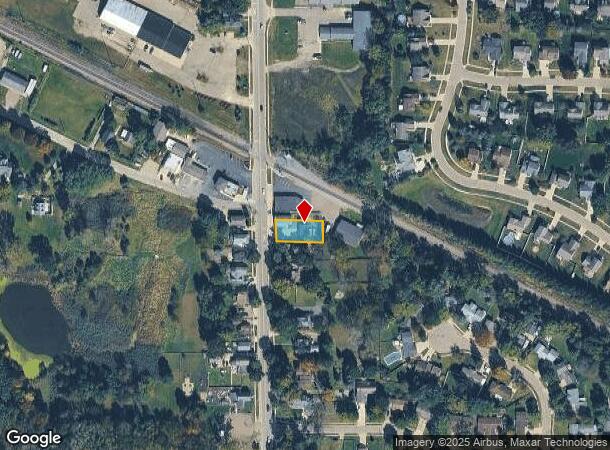
918 N Bridge St, Linden, MI 48451


NEARBY LISTINGS FOR SALE OR LEASE
-
-
View all Linden listings for lease on LoopNet.com
Property Detail
918 N Bridge St
Flint, MI
Assessors Plat
61-20-501-034
LOT 82 ASSESSORS PLAT NO 1
Commercialnec
Genesee
X
Michigan
26049C0408D
82
2024
0.21 AC
2025
Flint
013113
Detroit
2,320 SF
DEMOGRAPHICS near 918 N Bridge St
1 Mile
3 Mile
5 Mile
2024 Total Population
3,604
16,405
41,731
2029 Population
3,494
16,012
40,964
Pop Growth 2024-2029
(3.05%)
(2.40%)
(1.84%)
Average Age
44
43
42
2024 Total Households
1,445
6,502
16,758
HH Growth 2024-2029
(3.18%)
(2.48%)
(1.90%)
Median Household Inc
$86,353
$91,142
$89,080
Avg Household Size
2.40
2.50
2.40
2024 Avg HH Vehicles
2.00
2.00
2.00
Median Home Value
$228,571
$284,335
$275,259
Median Year Built
1990
1991
1985
Nearby Places
Map Layers
Map Styles
 Street
 Aerial
- Restaurants
- Banks
- Shops
- Fitness
- Groceries
PUBLIC TRANSPORTATION
AIRPORT
Bishop International
DRIVE
WALK
Distance
Bishop International
31 min
13.8 mi
Freight Ports
Port of Toledo
DRIVE
WALK
Distance
Port of Toledo
122 min
101.2 mi
SALE & LEASE HISTORY
LISTING DATE
SALE/LEASE

Mar 04, 2021
For Lease
Nearby Properties
Address
Land Use
TOTAL SIZE
Lot Size
Zoning
Address
Land Use
TOTAL SIZE
Lot Size
Zoning
215,494 SF
25.02 AC
GBD
Address
Land Use
TOTAL SIZE
Lot Size
Zoning
162,144 SF
8 AC
PUD
Address
Land Use
TOTAL SIZE
Lot Size
Zoning
167,681 SF
20.39 AC
HDR
Address
Land Use
TOTAL SIZE
Lot Size
Zoning
92,006 SF
7.89 AC
R-3
Address
Land Use
TOTAL SIZE
Lot Size
Zoning
148,951 SF
10.02 AC
HDR
Address
Land Use
TOTAL SIZE
Lot Size
Zoning
114,408 SF
13.53 AC
GBD
Address
Land Use
TOTAL SIZE
Lot Size
Zoning
63,504 SF
8.26 AC
PUD
Address
Land Use
TOTAL SIZE
Lot Size
Zoning
97,830 SF
12.16 AC
GBD
Address
Land Use
TOTAL SIZE
Lot Size
Zoning
145,076 SF
11.95 AC
HDR
Address
Land Use
TOTAL SIZE
Lot Size
Zoning
3,380 SF
152.79 AC
R-5
Address
Land Use
TOTAL SIZE
Lot Size
Zoning
89,158 SF
7.87 AC
C-3
Address
Land Use
TOTAL SIZE
Lot Size
Zoning
30,000 SF
0.66 AC
HDR
Address
Land Use
TOTAL SIZE
Lot Size
Zoning
3,558 SF
10.01 AC
AG
Address
Land Use
TOTAL SIZE
Lot Size
Zoning
25,735 SF
4.46 AC
GBD
Address
Land Use
TOTAL SIZE
Lot Size
Zoning
7,356 SF
3 AC
OSD
Address
Land Use
TOTAL SIZE
Lot Size
Zoning
37,018 SF
7.65 AC
GC
Address
Land Use
TOTAL SIZE
Lot Size
Zoning
8,026 SF
2.77 AC
GBD
Address
Land Use
TOTAL SIZE
Lot Size
Zoning
14,784 SF
0.22 AC
Address
Land Use
TOTAL SIZE
Lot Size
Zoning
8,062 SF
4.64 AC
OSD
Address
Land Use
TOTAL SIZE
Lot Size
Zoning
63,145 SF
8.90 AC
C-2
Address
Land Use
TOTAL SIZE
Lot Size
Zoning
11,328 SF
1.25 AC
OSD
Address
Land Use
TOTAL SIZE
Lot Size
Zoning
26,796 SF
160 AC
R-1
Address
Land Use
TOTAL SIZE
Lot Size
Zoning
4,477 SF
1.49 AC
GBD
Address
Land Use
TOTAL SIZE
Lot Size
Zoning
1.17 AC
C-2
Address
Land Use
TOTAL SIZE
Lot Size
Zoning
11,700 SF
1.23 AC
MHR
Address
Land Use
TOTAL SIZE
Lot Size
Zoning
42,225 SF
5.60 AC
COMM
Address
Land Use
TOTAL SIZE
Lot Size
Zoning
25,960 SF
2.66 AC
C-3
Address
Land Use
TOTAL SIZE
Lot Size
Zoning
26,984 SF
3.53 AC
R-4
Address
Land Use
TOTAL SIZE
Lot Size
Zoning
8,160 SF
1.65 AC
GBD
Address
Land Use
TOTAL SIZE
Lot Size
Zoning
32,605 SF
8.10 AC
GBD
The World's #1 Commercial Real Estate Marketplace
Connect with us
© 2026 CoStar Group
The information above has been obtained from sources believed reliable. While we do not doubt its accuracy we have not verified it and make no guarantee, warranty or representation about it. It is your responsibility to independently confirm its accuracy and completeness. Any projections, opinions, assumptions, or estimates used are for example only and do not represent the current or future performance of the property. The value of this transaction to you depends on tax and other factors which should be evaluated by your tax, financial, and legal advisors. You and your advisors should conduct a careful, independent investigation of the property to determine to your satisfaction the suitability of the property for your needs.