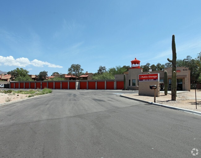
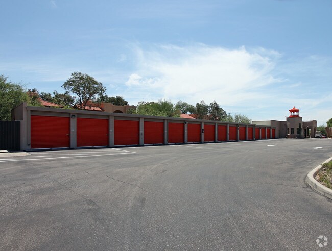
Property Record
9201 E Tanque Verde Rd, Tucson, AZ 85749

Property Detail
9201 E Tanque Verde Rd
114-51-218B
CTRL PTN W2 E2 LYG N & ADJ RD 3.64 AC SEC 34-13-15
Publicstorage
Pima
C1
Arizona
B and X Area of moderate flood hazard, usually the area between the limits of the 100-year and 500-year floods.
2
2025
3.64 AC
2026
East Tucson
004055
Tucson
72,631 SF
Tucson, AZ
NEARBY LISTINGS FOR SALE OR LEASE
-
-
View all Tucson listings for sale on LoopNet.com
DEMOGRAPHICS near 9201 E Tanque Verde Rd
1 mile
3 mile
5 mile
2025 Total Population
4,319
60,943
150,907
2030 Population
4,408
62,397
154,420
Pop Growth 2025-2030
+ 2.06%
+ 2.39%
+ 2.33%
Average Age
45
46
45
2025 Total Households
1,887
28,673
69,992
HH Growth 2025-2030
+ 2.23%
+ 2.56%
+ 2.49%
Median Household Inc
$101,819
$80,373
$74,298
Avg Household Size
2.30
2.10
2.10
2025 Avg HH Vehicles
2.00
2.00
2.00
Median Home Value
$550,000
$406,260
$377,347
Median Year Built
1989
1982
1980
Nearby Places
Map Layers
Map Styles
 Street
 Aerial
Layers
 Traffic
 Biking
Places
Listings with unknown addresses are not visible on the map
- Restaurants
- Banks
- Shops
- Fitness
- Groceries
PUBLIC TRANSPORTATION
AIRPORT
Tucson International
Drive
Walk
Distance
Tucson International
31 min
17.4 mi
Freight Ports
Port of San Diego
Drive
Walk
Distance
Port of San Diego
454 min
417.9 mi
Nearby Properties
Address
Land Use
TOTAL SIZE
Lot Size
Zoning
Address
Land Use
TOTAL SIZE
Lot Size
Zoning
96,125 SF
15.38 AC
SR
Address
Land Use
TOTAL SIZE
Lot Size
Zoning
308,730 SF
10.15 AC
Address
Land Use
TOTAL SIZE
Lot Size
Zoning
504,584 SF
18.17 AC
O3
Address
Land Use
TOTAL SIZE
Lot Size
Zoning
310,878 SF
29.30 AC
TR
Address
Land Use
TOTAL SIZE
Lot Size
Zoning
322,009 SF
17.96 AC
Address
Land Use
TOTAL SIZE
Lot Size
Zoning
1,804 SF
8.29 AC
R3
Address
Land Use
TOTAL SIZE
Lot Size
Zoning
276,903 SF
37.62 AC
RX1
Address
Land Use
TOTAL SIZE
Lot Size
Zoning
240,585 SF
18.16 AC
R2
Address
Land Use
TOTAL SIZE
Lot Size
Zoning
264,788 SF
12.63 AC
R3
Address
Land Use
TOTAL SIZE
Lot Size
Zoning
162,630 SF
15.14 AC
Address
Land Use
TOTAL SIZE
Lot Size
Zoning
146,302 SF
27.52 AC
CR1
Address
Land Use
TOTAL SIZE
Lot Size
Zoning
109,604 SF
17.64 AC
SR
Address
Land Use
TOTAL SIZE
Lot Size
Zoning
218,742 SF
9.88 AC
C1
Address
Land Use
TOTAL SIZE
Lot Size
Zoning
253,982 SF
12.14 AC
SR
Address
Land Use
TOTAL SIZE
Lot Size
Zoning
253,248 SF
38.33 AC
SR
Address
Land Use
TOTAL SIZE
Lot Size
Zoning
219,640 SF
13.18 AC
O3
Address
Land Use
TOTAL SIZE
Lot Size
Zoning
223,763 SF
9.18 AC
C1
Address
Land Use
TOTAL SIZE
Lot Size
Zoning
174,516 SF
8.86 AC
O3
Address
Land Use
TOTAL SIZE
Lot Size
Zoning
76,253 SF
7.19 AC
C1
Address
Land Use
TOTAL SIZE
Lot Size
Zoning
21,928 SF
41.39 AC
SR
Address
Land Use
TOTAL SIZE
Lot Size
Zoning
180,114 SF
8.43 AC
R3
Address
Land Use
TOTAL SIZE
Lot Size
Zoning
136,030 SF
10 AC
C1
Address
Land Use
TOTAL SIZE
Lot Size
Zoning
172,096 SF
7.75 AC
CB1
Address
Land Use
TOTAL SIZE
Lot Size
Zoning
195,050 SF
10.56 AC
CR1
Address
Land Use
TOTAL SIZE
Lot Size
Zoning
141,730 SF
10.10 AC
C1
Address
Land Use
TOTAL SIZE
Lot Size
Zoning
91,872 SF
15.49 AC
O3
Address
Land Use
TOTAL SIZE
Lot Size
Zoning
134,062 SF
5.71 AC
R3
Address
Land Use
TOTAL SIZE
Lot Size
Zoning
173,407 SF
10.14 AC
R3
Address
Land Use
TOTAL SIZE
Lot Size
Zoning
2,781 SF
9.92 AC
SR
Address
Land Use
TOTAL SIZE
Lot Size
Zoning
75,244 SF
5.07 AC
PAD3
The World's #1 Commercial Real Estate Marketplace
Connect with us
© 2026 CoStar Group
The information above has been obtained from sources believed reliable. While we do not doubt its accuracy we have not verified it and make no guarantee, warranty or representation about it. It is your responsibility to independently confirm its accuracy and completeness. Any projections, opinions, assumptions, or estimates used are for example only and do not represent the current or future performance of the property. The value of this transaction to you depends on tax and other factors which should be evaluated by your tax, financial, and legal advisors. You and your advisors should conduct a careful, independent investigation of the property to determine to your satisfaction the suitability of the property for your needs.