Property Record
9239 Atlantic Ave, Delray Beach, FL 33446
NEARBY LISTINGS FOR SALE OR LEASE
Property Detail
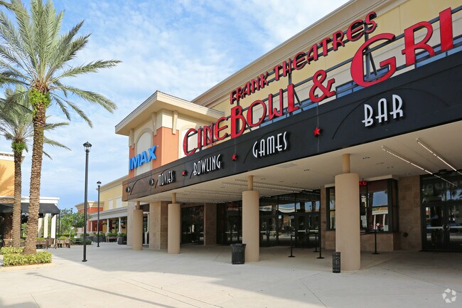
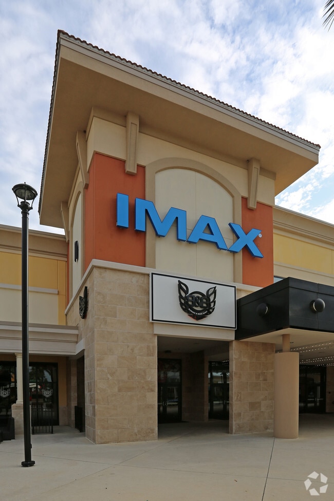
9239 Atlantic Ave
00-42-46-17-12-001-0000
Delray Mar
Regionalshoppingcenterormallwithanchorstore
DELRAY MARKETPLACE REPL NO 1 TR A-1
X
Palm Beach
12099C0955F
Florida
2024
36.72 AC
2025
Delray Beach
007774
South Florida
271,889 SF
West Palm Beach-Boca Raton-Delray Beach, FL
DEMOGRAPHICS near 9239 Atlantic Ave
1 Mile
3 Mile
5 Mile
2024 Total Population
2,020
45,723
145,272
2029 Population
2,071
48,896
152,265
Pop Growth 2024-2029
+ 2.52%
+ 6.94%
+ 4.81%
Average Age
45
59
56
2024 Total Households
722
23,428
70,910
HH Growth 2024-2029
+ 1.66%
+ 6.97%
+ 4.80%
Median Household Inc
$100,758
$66,134
$67,333
Avg Household Size
2.60
1.90
2.00
2024 Avg HH Vehicles
2.00
1.00
1.00
Median Home Value
$704,308
$354,744
$335,559
Median Year Built
2006
1998
1991
Nearby Places
Map Layers
Map Styles
 Street
 Aerial
- Restaurants
- Banks
- Shops
- Fitness
- Groceries
PUBLIC TRANSPORTATION
COMMUTER RAIL
Delray Beach (Tri-County Commuter - South Florida Regional Transportation Authority (Tri-Rail))
DRIVE
WALK
Distance
Delray Beach (Tri-County Commuter - South Florida Regional Transportation Authority (Tri-Rail))
18 min
7.5 mi
AIRPORT
Palm Beach International
DRIVE
WALK
Distance
Palm Beach International
33 min
23.6 mi
Fort Lauderdale/Hollywood International
DRIVE
WALK
Distance
Fort Lauderdale/Hollywood International
43 min
35.3 mi
Freight Ports
Port of Palm Beach
DRIVE
WALK
Distance
Port of Palm Beach
1 min
23.5 mi
Nearby Properties
Address
Land Use
TOTAL SIZE
Lot Size
Zoning
Address
Land Use
TOTAL SIZE
Lot Size
Zoning
257,003 SF
12.54 AC
MUPD
Address
Land Use
TOTAL SIZE
Lot Size
Zoning
250,290 SF
10.43 AC
PUD
Address
Land Use
TOTAL SIZE
Lot Size
Zoning
224,197 SF
12.47 AC
PUD
Address
Land Use
TOTAL SIZE
Lot Size
Zoning
28,511 SF
110.05 AC
PO
Address
Land Use
TOTAL SIZE
Lot Size
Zoning
126,145 SF
128.55 AC
PO
Address
Land Use
TOTAL SIZE
Lot Size
Zoning
154,865 SF
17.43 AC
CG
Address
Land Use
TOTAL SIZE
Lot Size
Zoning
114,968 SF
7.58 AC
RH
Address
Land Use
TOTAL SIZE
Lot Size
Zoning
124,342 SF
40.91 AC
PO
Address
Land Use
TOTAL SIZE
Lot Size
Zoning
209,539 SF
36.58 AC
AGR
Address
Land Use
TOTAL SIZE
Lot Size
Zoning
89,511 SF
14.73 AC
MUPD
Address
Land Use
TOTAL SIZE
Lot Size
Zoning
31.52 AC
MUPD
Address
Land Use
TOTAL SIZE
Lot Size
Zoning
79,475 SF
10.61 AC
AGR-PUD
Address
Land Use
TOTAL SIZE
Lot Size
Zoning
34,010 SF
4.90 AC
MUPD
Address
Land Use
TOTAL SIZE
Lot Size
Zoning
728 SF
33.15 AC
Address
Land Use
TOTAL SIZE
Lot Size
Zoning
111,258 SF
3.35 AC
CG
Address
Land Use
TOTAL SIZE
Lot Size
Zoning
30,517 SF
4.48 AC
MUPD
Address
Land Use
TOTAL SIZE
Lot Size
Zoning
76,952 SF
16.60 AC
TMD
Address
Land Use
TOTAL SIZE
Lot Size
Zoning
25,720 SF
2.69 AC
MUPD
Address
Land Use
TOTAL SIZE
Lot Size
Zoning
106,911 SF
12.10 AC
CG
Address
Land Use
TOTAL SIZE
Lot Size
Zoning
313.37 AC
AGRPUD/P
Address
Land Use
TOTAL SIZE
Lot Size
Zoning
51,085 SF
4.69 AC
MUPD
Address
Land Use
TOTAL SIZE
Lot Size
Zoning
40,387 SF
9.25 AC
AGR
Address
Land Use
TOTAL SIZE
Lot Size
Zoning
22,995 SF
4.91 AC
CC
Address
Land Use
TOTAL SIZE
Lot Size
Zoning
49,072 SF
4.68 AC
CG
Address
Land Use
TOTAL SIZE
Lot Size
Zoning
31,478 SF
9.38 AC
AGR
Address
Land Use
TOTAL SIZE
Lot Size
Zoning
13.06 AC
MUPD
Address
Land Use
TOTAL SIZE
Lot Size
Zoning
34,323 SF
15.03 AC
PO
Address
Land Use
TOTAL SIZE
Lot Size
Zoning
74,198 SF
4.61 AC
PUD
Address
Land Use
TOTAL SIZE
Lot Size
Zoning
46,149 SF
5.21 AC
The World's #1 Commercial Real Estate Marketplace
Connect with us
© 2025 CoStar Group
The information above has been obtained from sources believed reliable. While we do not doubt its accuracy we have not verified it and make no guarantee, warranty or representation about it. It is your responsibility to independently confirm its accuracy and completeness. Any projections, opinions, assumptions, or estimates used are for example only and do not represent the current or future performance of the property. The value of this transaction to you depends on tax and other factors which should be evaluated by your tax, financial, and legal advisors. You and your advisors should conduct a careful, independent investigation of the property to determine to your satisfaction the suitability of the property for your needs.