Property Record
926 E Main St, Bridgeport, CT 06608
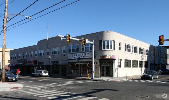


Property Detail
926 E Main St
BRID-001762-000006A
FAIRFIELD
Commercialbuilding
Connecticut
ORN
6-a
B and X Area of moderate flood hazard, usually the area between the limits of the 100-year and 500-year floods.
0.37 AC
2025
Bridgeport
2025
Westchester/So Connecticut
073800
Bridgeport-Stamford-Danbury, CT
19,663 SF
NEARBY LISTINGS FOR SALE OR LEASE
DEMOGRAPHICS near 926 E Main St
1 mile
3 mile
5 mile
2025 Total Population
30,404
180,957
278,412
2030 Population
31,072
185,383
286,198
Pop Growth 2025-2030
+ 2.20%
+ 2.45%
+ 2.80%
Average Age
37
39
40
2025 Total Households
11,090
65,891
100,609
HH Growth 2025-2030
+ 2.47%
+ 2.56%
+ 2.91%
Median Household Inc
$41,644
$63,634
$83,101
Avg Household Size
2.60
2.60
2.60
2025 Avg HH Vehicles
1.00
2.00
2.00
Median Home Value
$258,276
$317,842
$385,732
Median Year Built
1948
1951
1954
Nearby Places
Map Layers
Map Styles
 Street
 Aerial
Transit
 Traffic
 Biking
Places
Listings with unknown addresses are not visible on the map
- Restaurants
- Banks
- Shops
- Fitness
- Groceries
PUBLIC TRANSPORTATION
COMMUTER RAIL
Bridgeport Station (New Haven Line - Shore Line East, Shore Line East - Shore Line East)
Drive
Walk
Distance
Bridgeport Station (New Haven Line - Shore Line East, Shore Line East - Shore Line East)
3 min
1.4 mi
Stratford Station (New Haven Line - Metro-North Commuter Railroad Company (Metro-North))
Drive
Walk
Distance
Stratford Station (New Haven Line - Metro-North Commuter Railroad Company (Metro-North))
6 min
3.5 mi
AIRPORT
Tweed/New Haven
Drive
Walk
Distance
Tweed/New Haven
35 min
21.8 mi
Westchester County
Drive
Walk
Distance
Westchester County
54 min
35.3 mi
Long Island MacArthur
Drive
Walk
Distance
Long Island MacArthur
111 min
35.5 mi
Freight Ports
Port of New Haven
Drive
Walk
Distance
Port of New Haven
30 min
18.9 mi
SALE & LEASE HISTORY
LISTING DATE
SALE/LEASE

Sep 24, 2016
For Lease
The World's #1 Commercial Real Estate Marketplace
Connect with us
© 2026 CoStar Group
The information above has been obtained from sources believed reliable. While we do not doubt its accuracy we have not verified it and make no guarantee, warranty or representation about it. It is your responsibility to independently confirm its accuracy and completeness. Any projections, opinions, assumptions, or estimates used are for example only and do not represent the current or future performance of the property. The value of this transaction to you depends on tax and other factors which should be evaluated by your tax, financial, and legal advisors. You and your advisors should conduct a careful, independent investigation of the property to determine to your satisfaction the suitability of the property for your needs.