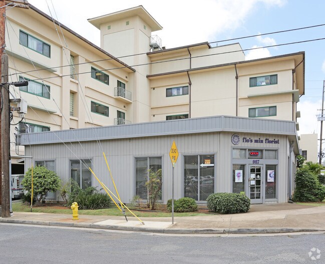
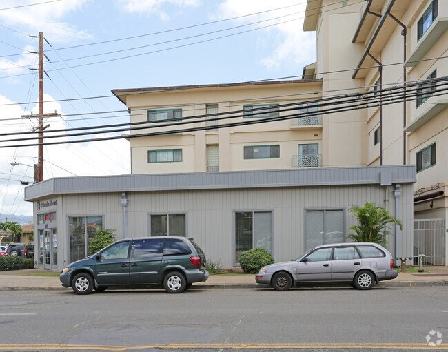
Property Record
927 Lehua Ave, Pearl City, HI 96782

NEARBY LISTINGS FOR SALE OR LEASE
Property Detail
927 Lehua Ave
1-9-7-021-003-0000
Nursing Home Apt
Commercialnec
Honolulu
X
Hawaii
15003C0239G
87 SF
2024
Leeward
2025
Hawaii
008001
Urban Honolulu, HI
DEMOGRAPHICS near 927 Lehua Ave
1 Mile
3 Mile
5 Mile
2024 Total Population
14,691
96,726
195,465
2029 Population
14,292
92,596
187,106
Pop Growth 2024-2029
(2.72%)
(4.27%)
(4.28%)
Average Age
42
42
40
2024 Total Households
4,962
30,213
58,031
HH Growth 2024-2029
(3.31%)
(5.03%)
(5.10%)
Median Household Inc
$81,076
$94,561
$98,958
Avg Household Size
2.80
3.00
3.10
2024 Avg HH Vehicles
2.00
2.00
2.00
Median Home Value
$635,642
$674,246
$715,006
Median Year Built
1975
1976
1978
Nearby Places
Map Layers
Map Styles
 Street
 Aerial
- Restaurants
- Banks
- Shops
- Fitness
- Groceries
PUBLIC TRANSPORTATION
TRANSIT/SUBWAY
Waiawa Pearl Highlands Station (SKYLINE - DTS)
DRIVE
WALK
Distance
Waiawa Pearl Highlands Station (SKYLINE - DTS)
3 min
15 min
0.8 mi
AIRPORT
Daniel K Inouye International
DRIVE
WALK
Distance
Daniel K Inouye International
12 min
7.1 mi
Freight Ports
Honolulu Harbor, Oahu
DRIVE
WALK
Distance
Honolulu Harbor, Oahu
21 min
11.3 mi
Nearby Properties
Address
Land Use
TOTAL SIZE
Lot Size
Zoning
Address
Land Use
TOTAL SIZE
Lot Size
Zoning
376,136 SF
32.06 AC
B-2
Address
Land Use
TOTAL SIZE
Lot Size
Zoning
227,309 SF
16.77 AC
B-2
Address
Land Use
TOTAL SIZE
Lot Size
Zoning
8,600 SF
479.12 AC
F-1
Address
Land Use
TOTAL SIZE
Lot Size
Zoning
435,857 SF
10.69 AC
BMX-3
Address
Land Use
TOTAL SIZE
Lot Size
Zoning
260,997 SF
9.79 AC
I-2
Address
Land Use
TOTAL SIZE
Lot Size
Zoning
729,528 SF
6.43 AC
BMX-3
Address
Land Use
TOTAL SIZE
Lot Size
Zoning
419,067 SF
7.34 AC
BMX-3
Address
Land Use
TOTAL SIZE
Lot Size
Zoning
202,766 SF
2.84 AC
BMX-3
Address
Land Use
TOTAL SIZE
Lot Size
Zoning
147,922 SF
16 AC
BMX-3
Address
Land Use
TOTAL SIZE
Lot Size
Zoning
164,921 SF
9.31 AC
BMX-3
Address
Land Use
TOTAL SIZE
Lot Size
Zoning
102,877 SF
9.77 AC
B-2
Address
Land Use
TOTAL SIZE
Lot Size
Zoning
362,266 SF
11.23 AC
B-2
Address
Land Use
TOTAL SIZE
Lot Size
Zoning
133,284 SF
11.74 AC
BMX-3
Address
Land Use
TOTAL SIZE
Lot Size
Zoning
180,294 SF
10.13 AC
B-2
Address
Land Use
TOTAL SIZE
Lot Size
Zoning
203,701 SF
7.14 AC
BMX-3
Address
Land Use
TOTAL SIZE
Lot Size
Zoning
151,200 SF
5.23 AC
BMX-3
Address
Land Use
TOTAL SIZE
Lot Size
Zoning
6,788 SF
13.98 AC
BMX-3
Address
Land Use
TOTAL SIZE
Lot Size
Zoning
59,018 SF
2.76 AC
I-2
Address
Land Use
TOTAL SIZE
Lot Size
Zoning
15.25 AC
I-2
Address
Land Use
TOTAL SIZE
Lot Size
Zoning
256,238 SF
13.64 AC
I-2
Address
Land Use
TOTAL SIZE
Lot Size
Zoning
185,586 SF
3.59 AC
BMX-3
Address
Land Use
TOTAL SIZE
Lot Size
Zoning
5.87 AC
IMX-1
Address
Land Use
TOTAL SIZE
Lot Size
Zoning
396,295 SF
2.87 AC
B-2
Address
Land Use
TOTAL SIZE
Lot Size
Zoning
5,278 SF
57.87 AC
P-2
Address
Land Use
TOTAL SIZE
Lot Size
Zoning
9.44 AC
IMX-1
Address
Land Use
TOTAL SIZE
Lot Size
Zoning
10.75 AC
I-2
Address
Land Use
TOTAL SIZE
Lot Size
Zoning
307,720 SF
5.35 AC
B-2
Address
Land Use
TOTAL SIZE
Lot Size
Zoning
45,606 SF
5.12 AC
BMX-3
Address
Land Use
TOTAL SIZE
Lot Size
Zoning
116,556 SF
4.59 AC
I-2
Address
Land Use
TOTAL SIZE
Lot Size
Zoning
115,294 SF
6.05 AC
BMX-3
The World's #1 Commercial Real Estate Marketplace
Connect with us
© 2025 CoStar Group
The information above has been obtained from sources believed reliable. While we do not doubt its accuracy we have not verified it and make no guarantee, warranty or representation about it. It is your responsibility to independently confirm its accuracy and completeness. Any projections, opinions, assumptions, or estimates used are for example only and do not represent the current or future performance of the property. The value of this transaction to you depends on tax and other factors which should be evaluated by your tax, financial, and legal advisors. You and your advisors should conduct a careful, independent investigation of the property to determine to your satisfaction the suitability of the property for your needs.