Property Record
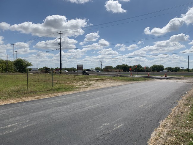
9285 Interstate 10 E, Converse, TX 78109


NEARBY LISTINGS FOR SALE OR LEASE
Property Detail
9285 Interstate 10 E
San Antonio-New Braunfels, TX
East Commerce Estates Bl 16543
16543-012-0080
NCB 16543 BLK 12 LOT 8
Vacantlandnec
Bexar
AE
Texas
48029C0435G
8
2024
0.21 AC
2025
Northeast
131606
San Antonio
DEMOGRAPHICS near 9285 Interstate 10 E
1 Mile
3 Mile
5 Mile
2024 Total Population
3,840
44,425
126,217
2029 Population
4,094
47,841
134,990
Pop Growth 2024-2029
+ 6.61%
+ 7.69%
+ 6.95%
Average Age
34
35
35
2024 Total Households
1,222
14,242
41,170
HH Growth 2024-2029
+ 6.79%
+ 7.84%
+ 7.07%
Median Household Inc
$81,250
$79,432
$68,839
Avg Household Size
3.20
3.10
3.00
2024 Avg HH Vehicles
2.00
2.00
2.00
Median Home Value
$234,480
$200,621
$184,084
Median Year Built
2008
2005
2000
Nearby Places
Map Layers
Map Styles
 Street
 Aerial
- Restaurants
- Banks
- Shops
- Fitness
- Groceries
PUBLIC TRANSPORTATION
AIRPORT
San Antonio International
DRIVE
WALK
Distance
San Antonio International
23 min
17.4 mi
Freight Ports
Calhoun Port
DRIVE
WALK
Distance
Calhoun Port
168 min
140.2 mi
SALE & LEASE HISTORY
LISTING DATE
SALE/LEASE

Sep 27, 2019
For Sale
Nearby Properties
Address
Land Use
TOTAL SIZE
Lot Size
Zoning
Address
Land Use
TOTAL SIZE
Lot Size
Zoning
116,536 SF
13.84 AC
Address
Land Use
TOTAL SIZE
Lot Size
Zoning
249,633 SF
7.04 AC
Address
Land Use
TOTAL SIZE
Lot Size
Zoning
74.65 AC
Address
Land Use
TOTAL SIZE
Lot Size
Zoning
97,064 SF
20 AC
Address
Land Use
TOTAL SIZE
Lot Size
Zoning
28.60 AC
Address
Land Use
TOTAL SIZE
Lot Size
Zoning
232,554 SF
13.19 AC
Address
Land Use
TOTAL SIZE
Lot Size
Zoning
35.72 AC
Address
Land Use
TOTAL SIZE
Lot Size
Zoning
336,913 SF
17.28 AC
Address
Land Use
TOTAL SIZE
Lot Size
Zoning
16,647 SF
852.16 AC
Address
Land Use
TOTAL SIZE
Lot Size
Zoning
183,611 SF
10.13 AC
Address
Land Use
TOTAL SIZE
Lot Size
Zoning
83,178 SF
22.50 AC
Address
Land Use
TOTAL SIZE
Lot Size
Zoning
2,129 SF
46.59 AC
Address
Land Use
TOTAL SIZE
Lot Size
Zoning
221.68 AC
Address
Land Use
TOTAL SIZE
Lot Size
Zoning
276,006 SF
13 AC
Address
Land Use
TOTAL SIZE
Lot Size
Zoning
205,372 SF
21.38 AC
Address
Land Use
TOTAL SIZE
Lot Size
Zoning
67,642 SF
22.18 AC
Address
Land Use
TOTAL SIZE
Lot Size
Zoning
95,925 SF
7.39 AC
Address
Land Use
TOTAL SIZE
Lot Size
Zoning
4,621 SF
43.39 AC
Address
Land Use
TOTAL SIZE
Lot Size
Zoning
76,900 SF
21.81 AC
Address
Land Use
TOTAL SIZE
Lot Size
Zoning
64,010 SF
13.50 AC
Address
Land Use
TOTAL SIZE
Lot Size
Zoning
221.80 AC
Address
Land Use
TOTAL SIZE
Lot Size
Zoning
131,864 SF
10.56 AC
Address
Land Use
TOTAL SIZE
Lot Size
Zoning
56,808 SF
7.18 AC
Address
Land Use
TOTAL SIZE
Lot Size
Zoning
46,076 SF
16.51 AC
Address
Land Use
TOTAL SIZE
Lot Size
Zoning
92.04 AC
Address
Land Use
TOTAL SIZE
Lot Size
Zoning
80,816 SF
1.66 AC
Address
Land Use
TOTAL SIZE
Lot Size
Zoning
1,608 SF
216.29 AC
Address
Land Use
TOTAL SIZE
Lot Size
Zoning
784 SF
234.55 AC
Address
Land Use
TOTAL SIZE
Lot Size
Zoning
48,000 SF
4.50 AC
Address
Land Use
TOTAL SIZE
Lot Size
Zoning
80,016 SF
5.64 AC
The World's #1 Commercial Real Estate Marketplace
Connect with us
© 2025 CoStar Group
The information above has been obtained from sources believed reliable. While we do not doubt its accuracy we have not verified it and make no guarantee, warranty or representation about it. It is your responsibility to independently confirm its accuracy and completeness. Any projections, opinions, assumptions, or estimates used are for example only and do not represent the current or future performance of the property. The value of this transaction to you depends on tax and other factors which should be evaluated by your tax, financial, and legal advisors. You and your advisors should conduct a careful, independent investigation of the property to determine to your satisfaction the suitability of the property for your needs.