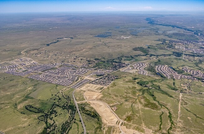
Property Record
9285 Link Rd, Fountain, CO 80817
Property Detail
9285 Link Rd
55000-00-419
TRACT OF LAND BEING IN S2 SEC 27-15-65, BEG AT SE COR SD SEC, TH S89-18-26W 3340.72 FT, TH N00-00-00E 544.83 FT TO A PT ALG ELY BDRY OF FOOTHILLS FOUNTAIN SUB, TH ALG SD BDRY N26-36-40E 104.28 FT, TH N42-36-40E 300.00 FT, TH N47-23-20W 676.58 FT, TH
Pasture
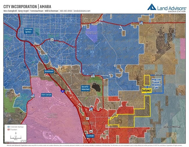
EL PASO
RR-5
Colorado
AE The base floodplain where base flood elevations are provided. AE Zones are now used on new format FIRMs instead of A1-A30 Zones.
400 AC
2025
Southeast
2026
Colorado Springs
004516
Colorado Springs, CO
360 SF
NEARBY LISTINGS FOR SALE OR LEASE
-
-
View all Fountain listings for sale on LoopNet.com
DEMOGRAPHICS near 9285 Link Rd
1 mile
3 mile
5 mile
2025 Total Population
117
13,042
51,397
2030 Population
128
13,921
52,817
Pop Growth 2025-2030
+ 9.40%
+ 6.74%
+ 2.76%
Average Age
31
32
34
2025 Total Households
37
4,031
16,531
HH Growth 2025-2030
+ 8.11%
+ 7.00%
+ 2.95%
Median Household Inc
$102,778
$112,003
$98,460
Avg Household Size
3.20
3.20
3.10
2025 Avg HH Vehicles
2.00
2.00
2.00
Median Home Value
$473,076
$483,436
$447,891
Median Year Built
2010
2010
2004
Nearby Places
Map Layers
Map Styles
 Street
 Aerial
Layers
 Traffic
 Biking
Places
Listings with unknown addresses are not visible on the map
- Restaurants
- Banks
- Shops
- Fitness
- Groceries
PUBLIC TRANSPORTATION
AIRPORT
City of Colorado Springs Municipal
Drive
Walk
Distance
City of Colorado Springs Municipal
21 min
12.1 mi
Freight Ports
Tulsa Port Of Catoosa
Drive
Walk
Distance
Tulsa Port Of Catoosa
744 min
701.3 mi
Nearby Properties
Address
Land Use
TOTAL SIZE
Lot Size
Zoning
Address
Land Use
TOTAL SIZE
Lot Size
Zoning
70,473 SF
4.56 AC
Address
Land Use
TOTAL SIZE
Lot Size
Zoning
78,002 SF
7.11 AC
R-1
Address
Land Use
TOTAL SIZE
Lot Size
Zoning
80,470 SF
4.11 AC
Address
Land Use
TOTAL SIZE
Lot Size
Zoning
38,760 SF
3.96 AC
Address
Land Use
TOTAL SIZE
Lot Size
Zoning
365,247 SF
33.08 AC
RA
Address
Land Use
TOTAL SIZE
Lot Size
Zoning
38,015 SF
2.06 AC
Address
Land Use
TOTAL SIZE
Lot Size
Zoning
64,697 SF
14.38 AC
PZ
Address
Land Use
TOTAL SIZE
Lot Size
Zoning
43,914 SF
9.36 AC
A-5 CAD-O
Address
Land Use
TOTAL SIZE
Lot Size
Zoning
21.30 AC
Address
Land Use
TOTAL SIZE
Lot Size
Zoning
22,994 SF
67.19 AC
Address
Land Use
TOTAL SIZE
Lot Size
Zoning
32,915 SF
2.01 AC
C-2
Address
Land Use
TOTAL SIZE
Lot Size
Zoning
298,384 SF
23.44 AC
Address
Land Use
TOTAL SIZE
Lot Size
Zoning
17,984 SF
0.92 AC
Address
Land Use
TOTAL SIZE
Lot Size
Zoning
17,119 SF
1.48 AC
Address
Land Use
TOTAL SIZE
Lot Size
Zoning
20,538 SF
1.75 AC
C-2
Address
Land Use
TOTAL SIZE
Lot Size
Zoning
68,649 SF
11.70 AC
Address
Land Use
TOTAL SIZE
Lot Size
Zoning
140,269 SF
12.17 AC
Address
Land Use
TOTAL SIZE
Lot Size
Zoning
23,056 SF
2.72 AC
RS-5000 CA
Address
Land Use
TOTAL SIZE
Lot Size
Zoning
14,073 SF
2.17 AC
Address
Land Use
TOTAL SIZE
Lot Size
Zoning
250,868 SF
48.50 AC
Address
Land Use
TOTAL SIZE
Lot Size
Zoning
298,384 SF
23.44 AC
Address
Land Use
TOTAL SIZE
Lot Size
Zoning
89,230 SF
5.25 AC
CS CAD-O
Address
Land Use
TOTAL SIZE
Lot Size
Zoning
86,256 SF
11.10 AC
I-1
Address
Land Use
TOTAL SIZE
Lot Size
Zoning
14,486 SF
2.32 AC
Address
Land Use
TOTAL SIZE
Lot Size
Zoning
5,651 SF
5 AC
NC
Address
Land Use
TOTAL SIZE
Lot Size
Zoning
12,150 SF
1.21 AC
CS CAD-O
Address
Land Use
TOTAL SIZE
Lot Size
Zoning
54,994 SF
54.87 AC
Address
Land Use
TOTAL SIZE
Lot Size
Zoning
16,700 SF
48 AC
Address
Land Use
TOTAL SIZE
Lot Size
Zoning
Address
Land Use
TOTAL SIZE
Lot Size
Zoning
39,231 SF
6.10 AC
The World's #1 Commercial Real Estate Marketplace
Connect with us
© 2026 CoStar Group
The information above has been obtained from sources believed reliable. While we do not doubt its accuracy we have not verified it and make no guarantee, warranty or representation about it. It is your responsibility to independently confirm its accuracy and completeness. Any projections, opinions, assumptions, or estimates used are for example only and do not represent the current or future performance of the property. The value of this transaction to you depends on tax and other factors which should be evaluated by your tax, financial, and legal advisors. You and your advisors should conduct a careful, independent investigation of the property to determine to your satisfaction the suitability of the property for your needs.