Property Record
930 Highway 3 N, Northfield, MN 55057

NEARBY LISTINGS FOR SALE OR LEASE
-
-
View all Northfield listings for sale on LoopNet.com
Property Detail
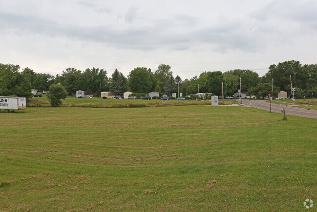
930 Highway 3 N
Faribault-Northfield, MN
Sheldahl Ind Park
22.31.2.26.003
LOT 1 BLOCK 1 OF SHELDAHL IND PARK L1 B1 SHELDAHL INDUSTRIAL PARK-RICE EX THAT PART SHOWN AS PAR 302 ON MN DOT R/W PLAT
Storebuilding
Rice
X
Minnesota
27131C0160D
1
2025
1.50 AC
2025
Minnesota South Area
070601
Other Market Areas
10,640 SF
DEMOGRAPHICS near 930 Highway 3 N
1 Mile
3 Mile
5 Mile
2024 Total Population
7,171
22,040
25,313
2029 Population
7,258
22,297
25,606
Pop Growth 2024-2029
+ 1.21%
+ 1.17%
+ 1.16%
Average Age
38
38
38
2024 Total Households
2,354
7,134
8,297
HH Growth 2024-2029
+ 1.32%
+ 1.35%
+ 1.33%
Median Household Inc
$62,143
$74,372
$77,826
Avg Household Size
2.20
2.40
2.40
2024 Avg HH Vehicles
2.00
2.00
2.00
Median Home Value
$267,236
$288,718
$297,505
Median Year Built
1973
1981
1983
Nearby Places
Map Layers
Map Styles
 Street
 Aerial
- Restaurants
- Banks
- Shops
- Fitness
- Groceries
PUBLIC TRANSPORTATION
AIRPORT
Minneapolis-St Paul International/Wold-Chamberlain
DRIVE
WALK
Distance
Minneapolis-St Paul International/Wold-Chamberlain
51 min
34.0 mi
Freight Ports
Port Milwaukee
DRIVE
WALK
Distance
Port Milwaukee
374 min
333.2 mi
SALE & LEASE HISTORY
LISTING DATE
SALE/LEASE

Aug 23, 2017
For Sale
Nearby Properties
Address
Land Use
TOTAL SIZE
Lot Size
Zoning
Address
Land Use
TOTAL SIZE
Lot Size
Zoning
15,356 SF
3.05 AC
Address
Land Use
TOTAL SIZE
Lot Size
Zoning
66,106 SF
14.60 AC
Address
Land Use
TOTAL SIZE
Lot Size
Zoning
7,561 SF
1.86 AC
Address
Land Use
TOTAL SIZE
Lot Size
Zoning
79,085 SF
61.10 AC
Address
Land Use
TOTAL SIZE
Lot Size
Zoning
15,169 SF
8.60 AC
Address
Land Use
TOTAL SIZE
Lot Size
Zoning
180,663 SF
36 AC
Address
Land Use
TOTAL SIZE
Lot Size
Zoning
76,608 SF
30.10 AC
Address
Land Use
TOTAL SIZE
Lot Size
Zoning
169,869 SF
31.01 AC
Address
Land Use
TOTAL SIZE
Lot Size
Zoning
104,445 SF
27.13 AC
Address
Land Use
TOTAL SIZE
Lot Size
Zoning
34,758 SF
2.98 AC
Address
Land Use
TOTAL SIZE
Lot Size
Zoning
3,080 SF
41.80 AC
Address
Land Use
TOTAL SIZE
Lot Size
Zoning
3,499 SF
13.50 AC
Address
Land Use
TOTAL SIZE
Lot Size
Zoning
58,080 SF
16.90 AC
Address
Land Use
TOTAL SIZE
Lot Size
Zoning
31,200 SF
15.50 AC
Address
Land Use
TOTAL SIZE
Lot Size
Zoning
2,772 SF
3.20 AC
Address
Land Use
TOTAL SIZE
Lot Size
Zoning
19,129 SF
0.75 AC
Address
Land Use
TOTAL SIZE
Lot Size
Zoning
11,856 SF
10.80 AC
Address
Land Use
TOTAL SIZE
Lot Size
Zoning
12,617 SF
2 AC
Address
Land Use
TOTAL SIZE
Lot Size
Zoning
95,400 SF
15.20 AC
Address
Land Use
TOTAL SIZE
Lot Size
Zoning
9,065 SF
5.10 AC
Address
Land Use
TOTAL SIZE
Lot Size
Zoning
6,000 SF
3.11 AC
Address
Land Use
TOTAL SIZE
Lot Size
Zoning
5,190 SF
1.30 AC
Address
Land Use
TOTAL SIZE
Lot Size
Zoning
126,240 SF
12.18 AC
Address
Land Use
TOTAL SIZE
Lot Size
Zoning
9,600 SF
24.60 AC
Address
Land Use
TOTAL SIZE
Lot Size
Zoning
12,333 SF
1.27 AC
Address
Land Use
TOTAL SIZE
Lot Size
Zoning
46,448 SF
6.50 AC
Address
Land Use
TOTAL SIZE
Lot Size
Zoning
16,991 SF
2.06 AC
Address
Land Use
TOTAL SIZE
Lot Size
Zoning
2,633 SF
2.14 AC
Address
Land Use
TOTAL SIZE
Lot Size
Zoning
12,593 SF
2.21 AC
Address
Land Use
TOTAL SIZE
Lot Size
Zoning
2,664 SF
4.17 AC
The World's #1 Commercial Real Estate Marketplace
Connect with us
© 2025 CoStar Group
The information above has been obtained from sources believed reliable. While we do not doubt its accuracy we have not verified it and make no guarantee, warranty or representation about it. It is your responsibility to independently confirm its accuracy and completeness. Any projections, opinions, assumptions, or estimates used are for example only and do not represent the current or future performance of the property. The value of this transaction to you depends on tax and other factors which should be evaluated by your tax, financial, and legal advisors. You and your advisors should conduct a careful, independent investigation of the property to determine to your satisfaction the suitability of the property for your needs.