Property Record
9333 Preston Rd, Frisco, TX 75033
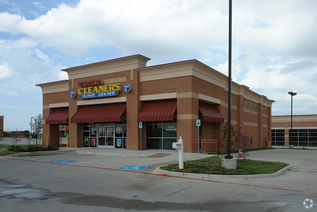

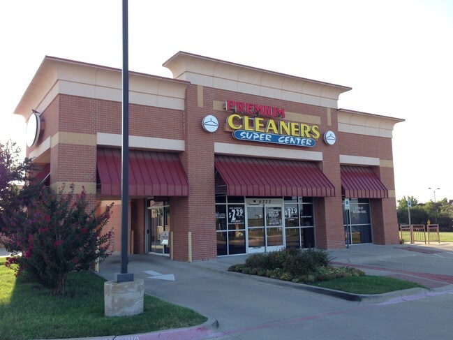
Property Detail
9333 Preston Rd
Dallas-Fort Worth-Arlington, TX
PRESTON TRACE RETAIL, BLK A, LOT 6; ( REPLAT )
R-9320-00A-0060-1
COLLIN
Commercialnec
Texas
B and X Area of moderate flood hazard, usually the area between the limits of the 100-year and 500-year floods.
6
2025
1.71 AC
2025
Frisco
030403
Dallas/Ft Worth
10,249 SF
NEARBY LISTINGS FOR SALE OR LEASE
DEMOGRAPHICS near 9333 Preston Rd
1 mile
3 mile
5 mile
2025 Total Population
9,194
102,134
306,187
2030 Population
10,494
116,902
348,420
Pop Growth 2025-2030
+ 14.14%
+ 14.46%
+ 13.79%
Average Age
39
37
37
2025 Total Households
3,428
36,549
105,371
HH Growth 2025-2030
+ 14.24%
+ 14.70%
+ 14.20%
Median Household Inc
$119,397
$129,671
$147,694
Avg Household Size
2.70
2.80
2.90
2025 Avg HH Vehicles
2.00
2.00
2.00
Median Home Value
$537,872
$656,567
$666,815
Median Year Built
1998
2007
2009
Nearby Places
Map Layers
Map Styles
 Street
 Aerial
Transit
 Traffic
 Biking
Places
Listings with unknown addresses are not visible on the map
- Restaurants
- Banks
- Shops
- Fitness
- Groceries
PUBLIC TRANSPORTATION
AIRPORT
Dallas Love Field
Drive
Walk
Distance
Dallas Love Field
35 min
26.1 mi
Dallas-Fort Worth International
Drive
Walk
Distance
Dallas-Fort Worth International
34 min
26.6 mi
SALE & LEASE HISTORY
LISTING DATE
SALE/LEASE

Sep 25, 2016
For Lease
Sep 05, 2017
For Lease
Nearby Properties
Address
Land Use
TOTAL SIZE
Lot Size
Zoning
Address
Land Use
TOTAL SIZE
Lot Size
Zoning
343,317 SF
17.17 AC
Address
Land Use
TOTAL SIZE
Lot Size
Zoning
358,447 SF
40.21 AC
Address
Land Use
TOTAL SIZE
Lot Size
Zoning
741,280 SF
90.87 AC
Address
Land Use
TOTAL SIZE
Lot Size
Zoning
458,757 SF
83.22 AC
Address
Land Use
TOTAL SIZE
Lot Size
Zoning
761,346 SF
75.86 AC
Address
Land Use
TOTAL SIZE
Lot Size
Zoning
535,339 SF
54.76 AC
Address
Land Use
TOTAL SIZE
Lot Size
Zoning
556,032 SF
24.46 AC
MF-M
Address
Land Use
TOTAL SIZE
Lot Size
Zoning
489,385 SF
10.24 AC
Address
Land Use
TOTAL SIZE
Lot Size
Zoning
492,430 SF
6.66 AC
MF-E
Address
Land Use
TOTAL SIZE
Lot Size
Zoning
431,308 SF
4.28 AC
COMM
Address
Land Use
TOTAL SIZE
Lot Size
Zoning
236,513 SF
99.95 AC
Address
Land Use
TOTAL SIZE
Lot Size
Zoning
329,460 SF
63.31 AC
Address
Land Use
TOTAL SIZE
Lot Size
Zoning
138.63 AC
Address
Land Use
TOTAL SIZE
Lot Size
Zoning
438,092 SF
6.32 AC
Address
Land Use
TOTAL SIZE
Lot Size
Zoning
493,823 SF
2.44 AC
Address
Land Use
TOTAL SIZE
Lot Size
Zoning
448,026 SF
4.84 AC
Address
Land Use
TOTAL SIZE
Lot Size
Zoning
533,937 SF
17.44 AC
MF-M
Address
Land Use
TOTAL SIZE
Lot Size
Zoning
510,032 SF
7.47 AC
Address
Land Use
TOTAL SIZE
Lot Size
Zoning
346,252 SF
11.32 AC
Address
Land Use
TOTAL SIZE
Lot Size
Zoning
386,806 SF
22.59 AC
Address
Land Use
TOTAL SIZE
Lot Size
Zoning
410,262 SF
20.90 AC
MF-M
Address
Land Use
TOTAL SIZE
Lot Size
Zoning
137,000 SF
4.71 AC
Address
Land Use
TOTAL SIZE
Lot Size
Zoning
516,677 SF
23.69 AC
Address
Land Use
TOTAL SIZE
Lot Size
Zoning
416,345 SF
3.72 AC
COMM
Address
Land Use
TOTAL SIZE
Lot Size
Zoning
472,446 SF
24.26 AC
MF
Address
Land Use
TOTAL SIZE
Lot Size
Zoning
369,098 SF
16.73 AC
MF-M
Address
Land Use
TOTAL SIZE
Lot Size
Zoning
346,313 SF
42.74 AC
Address
Land Use
TOTAL SIZE
Lot Size
Zoning
326,348 SF
5.63 AC
Address
Land Use
TOTAL SIZE
Lot Size
Zoning
334,425 SF
3.83 AC
MF-E
Address
Land Use
TOTAL SIZE
Lot Size
Zoning
360,589 SF
22.99 AC
MU
The World's #1 Commercial Real Estate Marketplace
Connect with us
© 2026 CoStar Group
The information above has been obtained from sources believed reliable. While we do not doubt its accuracy we have not verified it and make no guarantee, warranty or representation about it. It is your responsibility to independently confirm its accuracy and completeness. Any projections, opinions, assumptions, or estimates used are for example only and do not represent the current or future performance of the property. The value of this transaction to you depends on tax and other factors which should be evaluated by your tax, financial, and legal advisors. You and your advisors should conduct a careful, independent investigation of the property to determine to your satisfaction the suitability of the property for your needs.