Property Record
935 Adelphia Rd, Freehold, NJ 07728
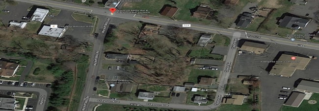
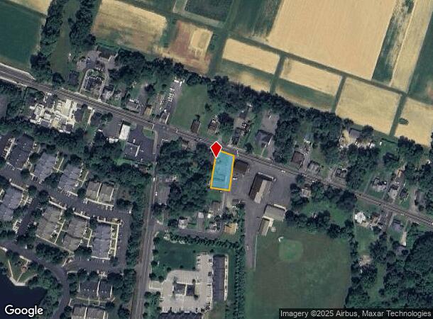
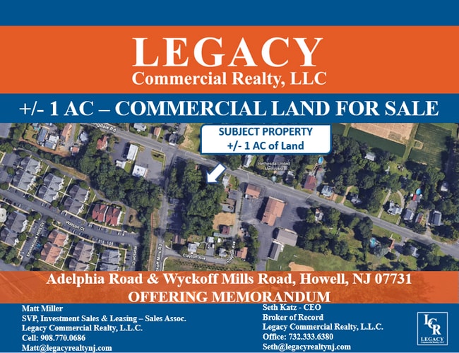
This Property Is For Sale
NEARBY LISTINGS FOR SALE OR LEASE
Property Detail
935 Adelphia Rd
New York-Jersey City-White Plains, NY-NJ
Monmouth
21-00163-0000-00012
New Jersey
Sfr
0.33 AC
X
Western Monmouth
34025C0284F
Northern New Jersey
1,442 SF
DEMOGRAPHICS near 935 Adelphia Rd
1 Mile
3 Mile
5 Mile
2024 Total Population
7,887
35,849
81,968
2029 Population
7,790
35,417
81,410
Pop Growth 2024-2029
(1.23%)
(1.21%)
(0.68%)
Average Age
46
42
42
2024 Total Households
3,397
12,994
29,112
HH Growth 2024-2029
(1.38%)
(1.40%)
(0.93%)
Median Household Inc
$70,952
$102,954
$111,952
Avg Household Size
2.30
2.70
2.70
2024 Avg HH Vehicles
2.00
2.00
2.00
Median Home Value
$284,463
$447,931
$461,348
Median Year Built
1987
1982
1982
Nearby Places
Map Layers
Map Styles
 Street
 Aerial
- Restaurants
- Banks
- Shops
- Fitness
- Groceries
PUBLIC TRANSPORTATION
AIRPORT
Trenton Mercer
DRIVE
WALK
Distance
Trenton Mercer
53 min
36.6 mi
Freight Ports
New York Container Terminal
DRIVE
WALK
Distance
New York Container Terminal
47 min
35.9 mi
Nearby Properties
Address
Land Use
TOTAL SIZE
Lot Size
Zoning
Address
Land Use
TOTAL SIZE
Lot Size
Zoning
4,649 SF
40.27 AC
ML-7
Address
Land Use
TOTAL SIZE
Lot Size
Zoning
904,310 SF
85.13 AC
M2M1
Address
Land Use
TOTAL SIZE
Lot Size
Zoning
36.48 AC
HD-2
Address
Land Use
TOTAL SIZE
Lot Size
Zoning
15.69 AC
HMUD
Address
Land Use
TOTAL SIZE
Lot Size
Zoning
267,666 SF
29.06 AC
M-1
Address
Land Use
TOTAL SIZE
Lot Size
Zoning
114,738 SF
19.02 AC
M-1
Address
Land Use
TOTAL SIZE
Lot Size
Zoning
182.80 AC
R-E
Address
Land Use
TOTAL SIZE
Lot Size
Zoning
241,399 SF
69.89 AC
R-40
Address
Land Use
TOTAL SIZE
Lot Size
Zoning
157.22 AC
R-E
Address
Land Use
TOTAL SIZE
Lot Size
Zoning
136,800 SF
14.08 AC
ARE1
Address
Land Use
TOTAL SIZE
Lot Size
Zoning
81,690 SF
42.46 AC
RMZ-
Address
Land Use
TOTAL SIZE
Lot Size
Zoning
82,872 SF
25.58 AC
B-10
Address
Land Use
TOTAL SIZE
Lot Size
Zoning
7,112 SF
10.01 AC
CM3A
Address
Land Use
TOTAL SIZE
Lot Size
Zoning
185,237 SF
20.18 AC
VC
Address
Land Use
TOTAL SIZE
Lot Size
Zoning
134,977 SF
2.30 AC
A
Address
Land Use
TOTAL SIZE
Lot Size
Zoning
92,832 SF
29.69 AC
M-1
Address
Land Use
TOTAL SIZE
Lot Size
Zoning
126,388 SF
11.56 AC
CM10
Address
Land Use
TOTAL SIZE
Lot Size
Zoning
2,674 SF
80 AC
R-E
Address
Land Use
TOTAL SIZE
Lot Size
Zoning
81,657 SF
12.62 AC
B-10
Address
Land Use
TOTAL SIZE
Lot Size
Zoning
126,300 SF
10.12 AC
M-1
Address
Land Use
TOTAL SIZE
Lot Size
Zoning
448,934 SF
24.24 AC
C-M
Address
Land Use
TOTAL SIZE
Lot Size
Zoning
120,000 SF
77 AC
ARE2
Address
Land Use
TOTAL SIZE
Lot Size
Zoning
77.72 AC
R-E
Address
Land Use
TOTAL SIZE
Lot Size
Zoning
8,694 SF
73.93 AC
R-40
Address
Land Use
TOTAL SIZE
Lot Size
Zoning
56,000 SF
21.53 AC
M-1
Address
Land Use
TOTAL SIZE
Lot Size
Zoning
153,372 SF
26.93 AC
VC
Address
Land Use
TOTAL SIZE
Lot Size
Zoning
73.44 AC
R-E
Address
Land Use
TOTAL SIZE
Lot Size
Zoning
43.22 AC
ARE2
Address
Land Use
TOTAL SIZE
Lot Size
Zoning
106,345 SF
10.53 AC
LI-3
Address
Land Use
TOTAL SIZE
Lot Size
Zoning
155,980 SF
23.83 AC
M-1
The World's #1 Commercial Real Estate Marketplace
Connect with us
© 2025 CoStar Group
The information above has been obtained from sources believed reliable. While we do not doubt its accuracy we have not verified it and make no guarantee, warranty or representation about it. It is your responsibility to independently confirm its accuracy and completeness. Any projections, opinions, assumptions, or estimates used are for example only and do not represent the current or future performance of the property. The value of this transaction to you depends on tax and other factors which should be evaluated by your tax, financial, and legal advisors. You and your advisors should conduct a careful, independent investigation of the property to determine to your satisfaction the suitability of the property for your needs.