Property Record
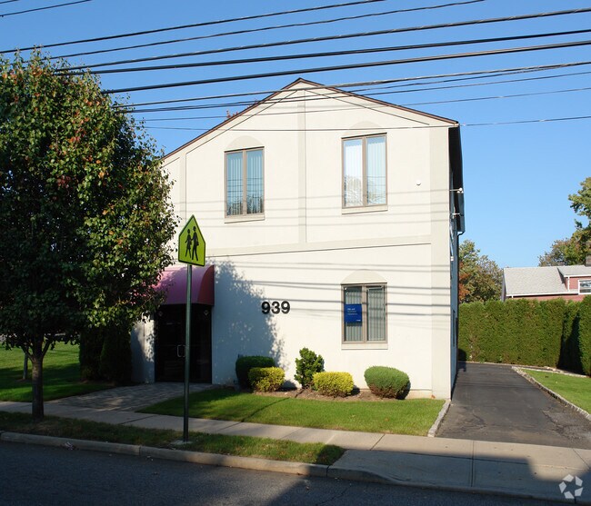
939 Huguenot Ave, Staten Island, NY 10312
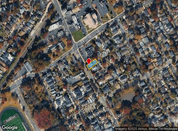
NEARBY LISTINGS FOR SALE OR LEASE
Property Detail
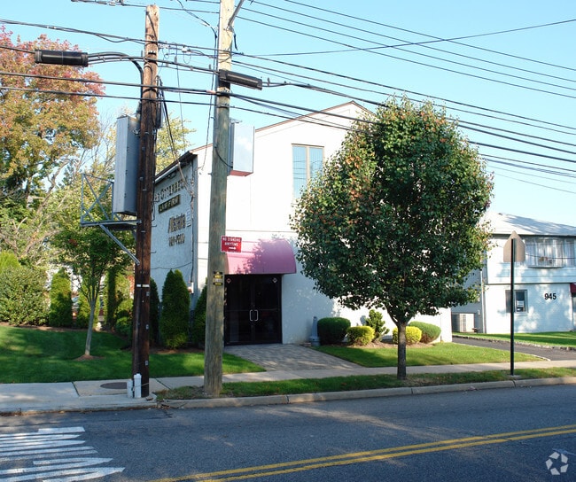
939 Huguenot Ave
06579-0005
Staten Island
Officebuilding
New York
X
5
34023C0087F
0.13 AC
2024
Staten Island
2025
Long Island (New York)
017600
New York-Jersey City-White Plains, NY-NJ
2,100 SF
DEMOGRAPHICS near 939 Huguenot Ave
1 Mile
3 Mile
5 Mile
2024 Total Population
17,555
119,337
276,276
2029 Population
17,097
117,177
270,710
Pop Growth 2024-2029
(2.61%)
(1.81%)
(2.01%)
Average Age
43
42
41
2024 Total Households
6,263
42,547
96,750
HH Growth 2024-2029
(2.71%)
(1.91%)
(2.02%)
Median Household Inc
$100,751
$107,525
$90,895
Avg Household Size
2.80
2.80
2.80
2024 Avg HH Vehicles
2.00
2.00
2.00
Median Home Value
$760,998
$686,664
$618,936
Median Year Built
1981
1981
1976
Nearby Places
- Restaurants
- Banks
- Shops
- Fitness
- Groceries
PUBLIC TRANSPORTATION
TRANSIT/SUBWAY
Huguenot (Staten Island Railway - New York MTA Subway (The Subway))
DRIVE
WALK
Distance
Huguenot (Staten Island Railway - New York MTA Subway (The Subway))
1 min
3 min
0.2 mi
Prince's Bay (Staten Island Railway - New York MTA Subway (The Subway))
DRIVE
WALK
Distance
Prince's Bay (Staten Island Railway - New York MTA Subway (The Subway))
2 min
16 min
0.8 mi
COMMUTER RAIL
Huguenot (Staten Island Railway - New York MTA Subway (The Subway))
DRIVE
WALK
Distance
Huguenot (Staten Island Railway - New York MTA Subway (The Subway))
1 min
4 min
0.2 mi
Prince's Bay (Staten Island Railway - New York MTA Subway (The Subway))
DRIVE
WALK
Distance
Prince's Bay (Staten Island Railway - New York MTA Subway (The Subway))
2 min
16 min
0.8 mi
AIRPORT
Newark Liberty International
DRIVE
WALK
Distance
Newark Liberty International
31 min
17.4 mi
LaGuardia
DRIVE
WALK
Distance
LaGuardia
53 min
29.6 mi
John F Kennedy International
DRIVE
WALK
Distance
John F Kennedy International
56 min
32.1 mi
Freight Ports
New York Container Terminal
DRIVE
WALK
Distance
New York Container Terminal
16 min
8.1 mi
Nearby Properties
Address
Land Use
TOTAL SIZE
Lot Size
Zoning
Address
Land Use
TOTAL SIZE
Lot Size
Zoning
794,430 SF
36.09 AC
R50
Address
Land Use
TOTAL SIZE
Lot Size
Zoning
237 AC
M1-1
Address
Land Use
TOTAL SIZE
Lot Size
Zoning
118 AC
M3-1
Address
Land Use
TOTAL SIZE
Lot Size
Zoning
196,382 SF
25.95 AC
Address
Land Use
TOTAL SIZE
Lot Size
Zoning
146 AC
PARK
Address
Land Use
TOTAL SIZE
Lot Size
Zoning
286,290 SF
21.24 AC
R50
Address
Land Use
TOTAL SIZE
Lot Size
Zoning
245,272 SF
18.54 AC
R50
Address
Land Use
TOTAL SIZE
Lot Size
Zoning
411,000 SF
18.54 AC
R3X
Address
Land Use
TOTAL SIZE
Lot Size
Zoning
55.47 AC
Address
Land Use
TOTAL SIZE
Lot Size
Zoning
214,392 SF
11.79 AC
R50
Address
Land Use
TOTAL SIZE
Lot Size
Zoning
11,140 SF
170.60 AC
PARK
Address
Land Use
TOTAL SIZE
Lot Size
Zoning
220,240 SF
5.77 AC
R3X
Address
Land Use
TOTAL SIZE
Lot Size
Zoning
38.58 AC
PARK
Address
Land Use
TOTAL SIZE
Lot Size
Zoning
505,000 SF
3.79 AC
R3A
Address
Land Use
TOTAL SIZE
Lot Size
Zoning
75,592 SF
9.86 AC
R50
Address
Land Use
TOTAL SIZE
Lot Size
Zoning
33.36 AC
PARK
Address
Land Use
TOTAL SIZE
Lot Size
Zoning
28.97 AC
PARK
Address
Land Use
TOTAL SIZE
Lot Size
Zoning
15,000 SF
16.63 AC
M1-1
Address
Land Use
TOTAL SIZE
Lot Size
Zoning
135,000 SF
4.54 AC
R3X
Address
Land Use
TOTAL SIZE
Lot Size
Zoning
26.08 AC
PARK
Address
Land Use
TOTAL SIZE
Lot Size
Zoning
180,000 SF
91.83 AC
M3-1
Address
Land Use
TOTAL SIZE
Lot Size
Zoning
192,000 SF
5.47 AC
R3X
Address
Land Use
TOTAL SIZE
Lot Size
Zoning
188,692 SF
9.66 AC
R3-2
Address
Land Use
TOTAL SIZE
Lot Size
Zoning
80,875 SF
283.97 AC
M3-1
Address
Land Use
TOTAL SIZE
Lot Size
Zoning
109,000 SF
3.38 AC
R3X
Address
Land Use
TOTAL SIZE
Lot Size
Zoning
27.90 AC
R3X
Address
Land Use
TOTAL SIZE
Lot Size
Zoning
75,000 SF
16.72 AC
R3X
Address
Land Use
TOTAL SIZE
Lot Size
Zoning
386,608 SF
69.19 AC
M3-1
Address
Land Use
TOTAL SIZE
Lot Size
Zoning
757,858 SF
126.31 AC
R3X
Address
Land Use
TOTAL SIZE
Lot Size
Zoning
100,780 SF
3.60 AC
R1-2
The World's #1 Commercial Real Estate Marketplace
Connect with us
© 2025 CoStar Group
The information above has been obtained from sources believed reliable. While we do not doubt its accuracy we have not verified it and make no guarantee, warranty or representation about it. It is your responsibility to independently confirm its accuracy and completeness. Any projections, opinions, assumptions, or estimates used are for example only and do not represent the current or future performance of the property. The value of this transaction to you depends on tax and other factors which should be evaluated by your tax, financial, and legal advisors. You and your advisors should conduct a careful, independent investigation of the property to determine to your satisfaction the suitability of the property for your needs.