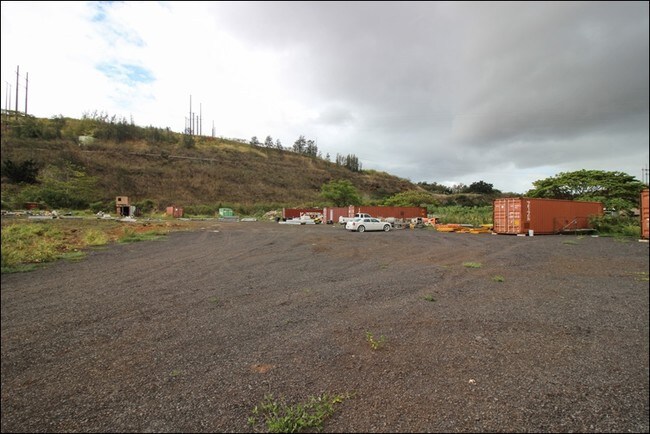
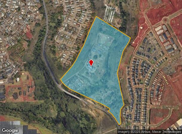
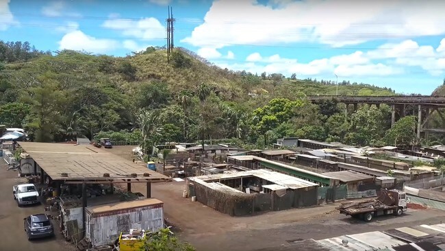
Property Record
94 Kamehameha Hwy, Mililani, HI 96789
NEARBY LISTINGS FOR SALE OR LEASE
Property Detail
94 Kamehameha Hwy
Urban Honolulu, HI
Kipapa Acres
1-9-4-005-052-0002
Honolulu
Agriculturalland
Hawaii
D
c
15003C0236G
5.32 AC
2024
Central Oahu
2025
Hawaii
008941
DEMOGRAPHICS near 94 Kamehameha Hwy
1 Mile
3 Mile
5 Mile
2024 Total Population
11,819
73,766
158,577
2029 Population
11,005
70,286
151,769
Pop Growth 2024-2029
(6.89%)
(4.72%)
(4.29%)
Average Age
43
41
41
2024 Total Households
3,808
23,228
48,504
HH Growth 2024-2029
(7.93%)
(5.54%)
(5.05%)
Median Household Inc
$113,069
$101,152
$99,927
Avg Household Size
3.00
3.00
3.10
2024 Avg HH Vehicles
2.00
2.00
2.00
Median Home Value
$730,996
$687,458
$703,939
Median Year Built
1979
1983
1979
Nearby Places
Map Layers
Map Styles
 Street
 Aerial
- Restaurants
- Banks
- Shops
- Fitness
- Groceries
PUBLIC TRANSPORTATION
AIRPORT
Daniel K Inouye International
DRIVE
WALK
Distance
Daniel K Inouye International
26 min
14.1 mi
Freight Ports
Honolulu Harbor, Oahu
DRIVE
WALK
Distance
Honolulu Harbor, Oahu
34 min
18.3 mi
SALE & LEASE HISTORY
LISTING DATE
SALE/LEASE

Oct 05, 2017
For Sale
Dec 05, 2017
For Sale
Apr 21, 2017
For Sale
Nearby Properties
Address
Land Use
TOTAL SIZE
Lot Size
Zoning
Address
Land Use
TOTAL SIZE
Lot Size
Zoning
376,136 SF
32.06 AC
B-2
Address
Land Use
TOTAL SIZE
Lot Size
Zoning
227,309 SF
16.77 AC
B-2
Address
Land Use
TOTAL SIZE
Lot Size
Zoning
8,600 SF
479.12 AC
F-1
Address
Land Use
TOTAL SIZE
Lot Size
Zoning
196,140 SF
17.74 AC
B-2
Address
Land Use
TOTAL SIZE
Lot Size
Zoning
260,997 SF
9.79 AC
I-2
Address
Land Use
TOTAL SIZE
Lot Size
Zoning
467,874 SF
15.30 AC
IMX-1
Address
Land Use
TOTAL SIZE
Lot Size
Zoning
121,310 SF
10.97 AC
B-2
Address
Land Use
TOTAL SIZE
Lot Size
Zoning
102,877 SF
9.77 AC
B-2
Address
Land Use
TOTAL SIZE
Lot Size
Zoning
38,400 SF
19.30 AC
AG-1
Address
Land Use
TOTAL SIZE
Lot Size
Zoning
129,731 SF
8.45 AC
B-2
Address
Land Use
TOTAL SIZE
Lot Size
Zoning
5.87 AC
IMX-1
Address
Land Use
TOTAL SIZE
Lot Size
Zoning
128,870 SF
6.28 AC
IMX-1
Address
Land Use
TOTAL SIZE
Lot Size
Zoning
45,606 SF
5.12 AC
BMX-3
Address
Land Use
TOTAL SIZE
Lot Size
Zoning
116,556 SF
4.59 AC
I-2
Address
Land Use
TOTAL SIZE
Lot Size
Zoning
112,016 SF
4.28 AC
I-2
Address
Land Use
TOTAL SIZE
Lot Size
Zoning
21,580 SF
4.77 AC
B-2
Address
Land Use
TOTAL SIZE
Lot Size
Zoning
68,487 SF
3.78 AC
R-5
Address
Land Use
TOTAL SIZE
Lot Size
Zoning
102,880 SF
3.84 AC
I-2
Address
Land Use
TOTAL SIZE
Lot Size
Zoning
52,382 SF
3.13 AC
I-2
Address
Land Use
TOTAL SIZE
Lot Size
Zoning
125,748 SF
2.94 AC
I-2
Address
Land Use
TOTAL SIZE
Lot Size
Zoning
70,807 SF
4.31 AC
B-2
Address
Land Use
TOTAL SIZE
Lot Size
Zoning
51,740 SF
3 AC
I-1
Address
Land Use
TOTAL SIZE
Lot Size
Zoning
40,272 SF
4.81 AC
IMX-1
Address
Land Use
TOTAL SIZE
Lot Size
Zoning
81,477 SF
2.08 AC
I-2
Address
Land Use
TOTAL SIZE
Lot Size
Zoning
49,140 SF
1.33 AC
B-2
Address
Land Use
TOTAL SIZE
Lot Size
Zoning
72,481 SF
2.28 AC
I-2
Address
Land Use
TOTAL SIZE
Lot Size
Zoning
39,600 SF
3.03 AC
B-2
Address
Land Use
TOTAL SIZE
Lot Size
Zoning
37,541 SF
4.21 AC
B-1
Address
Land Use
TOTAL SIZE
Lot Size
Zoning
69,616 SF
2.88 AC
I-2
Address
Land Use
TOTAL SIZE
Lot Size
Zoning
56,233 SF
1.78 AC
I-2
The World's #1 Commercial Real Estate Marketplace
Connect with us
© 2025 CoStar Group
The information above has been obtained from sources believed reliable. While we do not doubt its accuracy we have not verified it and make no guarantee, warranty or representation about it. It is your responsibility to independently confirm its accuracy and completeness. Any projections, opinions, assumptions, or estimates used are for example only and do not represent the current or future performance of the property. The value of this transaction to you depends on tax and other factors which should be evaluated by your tax, financial, and legal advisors. You and your advisors should conduct a careful, independent investigation of the property to determine to your satisfaction the suitability of the property for your needs.