Property Record
940 Daugherty Rd, Landis, NC 28088

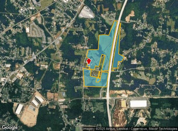
Property Detail
940 Daugherty Rd
134-054
199.61AC
Industrialgeneral
Rowan
AE
North Carolina
3710563500J
199.61 AC
2025
Rowan County
2025
Charlotte
051600
Charlotte-Concord-Gastonia, NC-SC
12,741 SF
NEARBY LISTINGS FOR SALE OR LEASE
DEMOGRAPHICS near 940 Daugherty Rd
1 mile
3 mile
5 mile
2024 Total Population
1,190
22,218
59,173
2029 Population
1,263
23,544
64,279
Pop Growth 2024-2029
+ 6.13%
+ 5.97%
+ 8.63%
Average Age
41
40
40
2024 Total Households
470
8,725
23,005
HH Growth 2024-2029
+ 6.17%
+ 5.90%
+ 8.09%
Median Household Inc
$43,055
$53,387
$55,600
Avg Household Size
2.50
2.50
2.50
2024 Avg HH Vehicles
2.00
2.00
2.00
Median Home Value
$187,804
$169,925
$175,794
Median Year Built
1981
1977
1979
Nearby Places
Map Layers
Map Styles
 Street
 Aerial
Transit
 Traffic
 Biking
Places
Listings with unknown addresses are not visible on the map
- Restaurants
- Banks
- Shops
- Fitness
- Groceries
PUBLIC TRANSPORTATION
COMMUTER RAIL
Kannapolis Station (Piedmont - North Carolina by Train (NC Train))
Drive
Walk
Distance
Kannapolis Station (Piedmont - North Carolina by Train (NC Train))
12 min
5.3 mi
AIRPORT
Concord-Padgett Regional
Drive
Walk
Distance
Concord-Padgett Regional
27 min
18.0 mi
Freight Ports
Port of Wilmington
Drive
Walk
Distance
Port of Wilmington
269 min
206.5 mi
Nearby Properties
Address
Land Use
TOTAL SIZE
Lot Size
Zoning
Address
Land Use
TOTAL SIZE
Lot Size
Zoning
1,806 SF
197.72 AC
Address
Land Use
TOTAL SIZE
Lot Size
Zoning
728,000 SF
51.80 AC
Address
Land Use
TOTAL SIZE
Lot Size
Zoning
32,128 SF
16.30 AC
R3:SINGLE
Address
Land Use
TOTAL SIZE
Lot Size
Zoning
231,232 SF
41.58 AC
Address
Land Use
TOTAL SIZE
Lot Size
Zoning
297,600 SF
16.28 AC
Address
Land Use
TOTAL SIZE
Lot Size
Zoning
279,000 SF
23.48 AC
Address
Land Use
TOTAL SIZE
Lot Size
Zoning
55,888 SF
39.43 AC
Address
Land Use
TOTAL SIZE
Lot Size
Zoning
230,000 SF
55.37 AC
Address
Land Use
TOTAL SIZE
Lot Size
Zoning
33,728 SF
14.29 AC
GC
Address
Land Use
TOTAL SIZE
Lot Size
Zoning
128,280 SF
10.82 AC
Address
Land Use
TOTAL SIZE
Lot Size
Zoning
269,700 SF
76.24 AC
Address
Land Use
TOTAL SIZE
Lot Size
Zoning
35,850 SF
34 AC
Address
Land Use
TOTAL SIZE
Lot Size
Zoning
83,701 SF
2.99 AC
R4
Address
Land Use
TOTAL SIZE
Lot Size
Zoning
21,906 SF
7.50 AC
OI:OFFICE
Address
Land Use
TOTAL SIZE
Lot Size
Zoning
37,300 SF
20.95 AC
RM2:MULTI
Address
Land Use
TOTAL SIZE
Lot Size
Zoning
44,149 SF
11.26 AC
Address
Land Use
TOTAL SIZE
Lot Size
Zoning
146,346 SF
16.39 AC
Address
Land Use
TOTAL SIZE
Lot Size
Zoning
58,300 SF
14.53 AC
R8:SINGLE
Address
Land Use
TOTAL SIZE
Lot Size
Zoning
19,951 SF
9.12 AC
OI:OFFICE
Address
Land Use
TOTAL SIZE
Lot Size
Zoning
43,091 SF
21.39 AC
Address
Land Use
TOTAL SIZE
Lot Size
Zoning
139,812 SF
17.35 AC
Address
Land Use
TOTAL SIZE
Lot Size
Zoning
8,941 SF
2.36 AC
Address
Land Use
TOTAL SIZE
Lot Size
Zoning
1,640 SF
21.46 AC
Address
Land Use
TOTAL SIZE
Lot Size
Zoning
36,092 SF
3.67 AC
Address
Land Use
TOTAL SIZE
Lot Size
Zoning
30,284 SF
12.51 AC
Address
Land Use
TOTAL SIZE
Lot Size
Zoning
45,450 SF
5.01 AC
C2:HIGHWAY
Address
Land Use
TOTAL SIZE
Lot Size
Zoning
3,200 SF
259.49 AC
Address
Land Use
TOTAL SIZE
Lot Size
Zoning
27,467 SF
52.01 AC
R1:SINGLE
Address
Land Use
TOTAL SIZE
Lot Size
Zoning
17,259 SF
0.90 AC
Address
Land Use
TOTAL SIZE
Lot Size
Zoning
2,552 SF
80.44 AC
The World's #1 Commercial Real Estate Marketplace
Connect with us
© 2026 CoStar Group
The information above has been obtained from sources believed reliable. While we do not doubt its accuracy we have not verified it and make no guarantee, warranty or representation about it. It is your responsibility to independently confirm its accuracy and completeness. Any projections, opinions, assumptions, or estimates used are for example only and do not represent the current or future performance of the property. The value of this transaction to you depends on tax and other factors which should be evaluated by your tax, financial, and legal advisors. You and your advisors should conduct a careful, independent investigation of the property to determine to your satisfaction the suitability of the property for your needs.