Property Record
9403 Fort Apache Rd, Enterprise, NV 89124
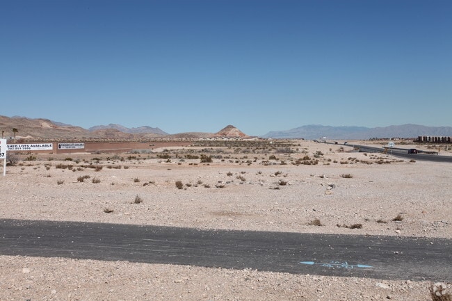

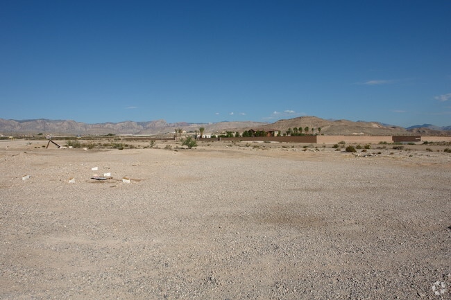
Property Detail
9403 Fort Apache Rd
176-19-601-009
PT SE4 NE4 SEC 19 22 60
Vacantlandnec
CLARK
H2
Nevada
B and X Area of moderate flood hazard, usually the area between the limits of the 100-year and 500-year floods.
2.19 AC
2026
Southwest Las Vegas
2026
Las Vegas
007500
Las Vegas-Henderson-North Las Vegas, NV
NEARBY LISTINGS FOR SALE OR LEASE
DEMOGRAPHICS near 9403 Fort Apache Rd
1 mile
3 mile
5 mile
2025 Total Population
24,961
87,800
214,758
2030 Population
26,669
93,351
228,317
Pop Growth 2025-2030
+ 6.84%
+ 6.32%
+ 6.31%
Average Age
37
37
38
2025 Total Households
8,394
31,182
76,485
HH Growth 2025-2030
+ 6.81%
+ 6.26%
+ 6.32%
Median Household Inc
$108,118
$103,167
$101,672
Avg Household Size
2.90
2.80
2.80
2025 Avg HH Vehicles
2.00
2.00
2.00
Median Home Value
$480,189
$487,513
$487,985
Median Year Built
2008
2008
2008
Nearby Places
Map Layers
Map Styles
 Street
 Aerial
Layers
 Traffic
 Biking
Places
Listings with unknown addresses are not visible on the map
- Restaurants
- Banks
- Shops
- Fitness
- Groceries
PUBLIC TRANSPORTATION
AIRPORT
Harry Reid International
Drive
Walk
Distance
Harry Reid International
18 min
12.0 mi
Boulder City Municipal
Drive
Walk
Distance
Boulder City Municipal
41 min
29.5 mi
Freight Ports
Port of Long Beach
Drive
Walk
Distance
Port of Long Beach
314 min
279.5 mi
Nearby Properties
Address
Land Use
TOTAL SIZE
Lot Size
Zoning
Address
Land Use
TOTAL SIZE
Lot Size
Zoning
17,206 SF
225 AC
Address
Land Use
TOTAL SIZE
Lot Size
Zoning
29.59 AC
CP
Address
Land Use
TOTAL SIZE
Lot Size
Zoning
Address
Land Use
TOTAL SIZE
Lot Size
Zoning
35.55 AC
PF
Address
Land Use
TOTAL SIZE
Lot Size
Zoning
18.62 AC
PF
Address
Land Use
TOTAL SIZE
Lot Size
Zoning
115,488 SF
6.41 AC
Address
Land Use
TOTAL SIZE
Lot Size
Zoning
3,398 SF
13.56 AC
Address
Land Use
TOTAL SIZE
Lot Size
Zoning
107.39 AC
RE
Address
Land Use
TOTAL SIZE
Lot Size
Zoning
9,787 SF
65.73 AC
RE
Address
Land Use
TOTAL SIZE
Lot Size
Zoning
12.18 AC
PF
Address
Land Use
TOTAL SIZE
Lot Size
Zoning
126,523 SF
21.55 AC
Address
Land Use
TOTAL SIZE
Lot Size
Zoning
4.37 AC
MLZ
Address
Land Use
TOTAL SIZE
Lot Size
Zoning
86,780 SF
14.58 AC
PF
Address
Land Use
TOTAL SIZE
Lot Size
Zoning
191,189 SF
4.53 AC
C2
Address
Land Use
TOTAL SIZE
Lot Size
Zoning
15 AC
RE
Address
Land Use
TOTAL SIZE
Lot Size
Zoning
3,755 SF
13.80 AC
R3
Address
Land Use
TOTAL SIZE
Lot Size
Zoning
72,754 SF
4.49 AC
CP
Address
Land Use
TOTAL SIZE
Lot Size
Zoning
112,222 SF
13.85 AC
Address
Land Use
TOTAL SIZE
Lot Size
Zoning
192,349 SF
9.09 AC
R3
Address
Land Use
TOTAL SIZE
Lot Size
Zoning
11.32 AC
PF
Address
Land Use
TOTAL SIZE
Lot Size
Zoning
245 AC
RE
Address
Land Use
TOTAL SIZE
Lot Size
Zoning
55,982 SF
2.65 AC
C:C-P
Address
Land Use
TOTAL SIZE
Lot Size
Zoning
24.81 AC
PF
Address
Land Use
TOTAL SIZE
Lot Size
Zoning
9,390 SF
17.15 AC
Address
Land Use
TOTAL SIZE
Lot Size
Zoning
77,049 SF
0.69 AC
CP
Address
Land Use
TOTAL SIZE
Lot Size
Zoning
139,482 SF
4.34 AC
C2
Address
Land Use
TOTAL SIZE
Lot Size
Zoning
72,480 SF
8.31 AC
C2
Address
Land Use
TOTAL SIZE
Lot Size
Zoning
100 SF
74.23 AC
Address
Land Use
TOTAL SIZE
Lot Size
Zoning
3.93 AC
RE
The World's #1 Commercial Real Estate Marketplace
Connect with us
© 2026 CoStar Group
The information above has been obtained from sources believed reliable. While we do not doubt its accuracy we have not verified it and make no guarantee, warranty or representation about it. It is your responsibility to independently confirm its accuracy and completeness. Any projections, opinions, assumptions, or estimates used are for example only and do not represent the current or future performance of the property. The value of this transaction to you depends on tax and other factors which should be evaluated by your tax, financial, and legal advisors. You and your advisors should conduct a careful, independent investigation of the property to determine to your satisfaction the suitability of the property for your needs.