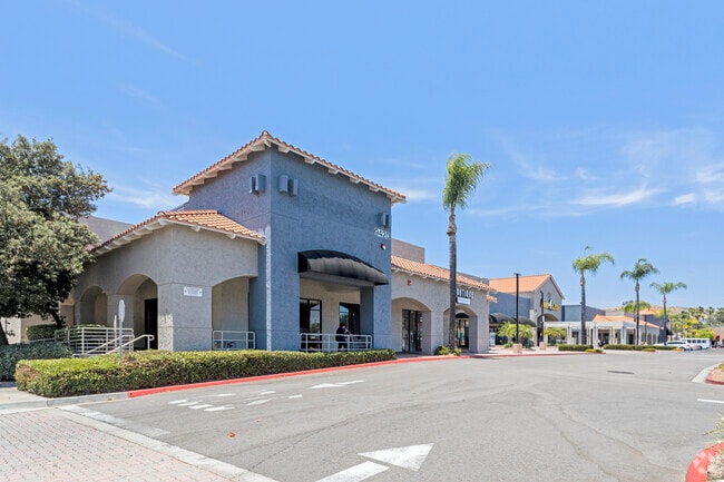
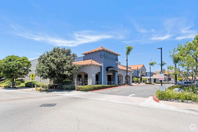
Property Record
9420 Cuyamaca St, Santee, CA 92071

Property Detail
9420 Cuyamaca St
381-682-21
PAR 1 TR PM17829
Supermarket
San Diego
GC
California
B and X Area of moderate flood hazard, usually the area between the limits of the 100-year and 500-year floods.
5.60 AC
2024
Santee
2025
San Diego
016614
San Diego-Chula Vista-Carlsbad, CA
66,479 SF
NEARBY LISTINGS FOR SALE OR LEASE
DEMOGRAPHICS near 9420 Cuyamaca St
1 mile
3 mile
5 mile
2025 Total Population
16,970
83,450
249,941
2030 Population
16,850
83,034
249,663
Pop Growth 2025-2030
(0.71%)
(0.50%)
(0.11%)
Average Age
39
40
40
2025 Total Households
5,578
29,287
87,353
HH Growth 2025-2030
(0.82%)
(0.63%)
(0.24%)
Median Household Inc
$108,366
$108,916
$90,777
Avg Household Size
2.80
2.70
2.80
2025 Avg HH Vehicles
2.00
2.00
2.00
Median Home Value
$721,510
$722,894
$719,962
Median Year Built
1977
1977
1974
Nearby Places
Map Layers
Map Styles
 Street
 Aerial
Layers
 Traffic
 Biking
Places
Listings with unknown addresses are not visible on the map
- Restaurants
- Banks
- Shops
- Fitness
- Groceries
PUBLIC TRANSPORTATION
TRANSIT/SUBWAY
Santee Town Center (Green Line - San Diego Metropolitan Transit System Trolley (San Diego Trolley))
Drive
Walk
Distance
Santee Town Center (Green Line - San Diego Metropolitan Transit System Trolley (San Diego Trolley))
3 min
19 min
0.8 mi
AIRPORT
San Diego International
Drive
Walk
Distance
San Diego International
29 min
21.1 mi
SALE & LEASE HISTORY
LISTING DATE
SALE/LEASE

Sep 24, 2016
For Lease
Jan 05, 2021
For Lease
Nearby Properties
Address
Land Use
TOTAL SIZE
Lot Size
Zoning
Address
Land Use
TOTAL SIZE
Lot Size
Zoning
6.84 AC
M
Address
Land Use
TOTAL SIZE
Lot Size
Zoning
8.24 AC
RU
Address
Land Use
TOTAL SIZE
Lot Size
Zoning
7.46 AC
RM-2200
Address
Land Use
TOTAL SIZE
Lot Size
Zoning
6.82 AC
TC
Address
Land Use
TOTAL SIZE
Lot Size
Zoning
5.90 AC
RM-2200
Address
Land Use
TOTAL SIZE
Lot Size
Zoning
9.38 AC
RU
Address
Land Use
TOTAL SIZE
Lot Size
Zoning
85,848 SF
5.03 AC
GC
Address
Land Use
TOTAL SIZE
Lot Size
Zoning
10.23 AC
R22
Address
Land Use
TOTAL SIZE
Lot Size
Zoning
3.69 AC
R22
Address
Land Use
TOTAL SIZE
Lot Size
Zoning
5.45 AC
R14
Address
Land Use
TOTAL SIZE
Lot Size
Zoning
475.50 AC
IH-2-1
Address
Land Use
TOTAL SIZE
Lot Size
Zoning
3.80 AC
NC/R14
Address
Land Use
TOTAL SIZE
Lot Size
Zoning
4.75 AC
C-6
Address
Land Use
TOTAL SIZE
Lot Size
Zoning
4.69 AC
RU
Address
Land Use
TOTAL SIZE
Lot Size
Zoning
3.33 AC
R22
Address
Land Use
TOTAL SIZE
Lot Size
Zoning
10.79 AC
TC
Address
Land Use
TOTAL SIZE
Lot Size
Zoning
86,578 SF
4.26 AC
M
Address
Land Use
TOTAL SIZE
Lot Size
Zoning
79,662 SF
8.21 AC
S88
Address
Land Use
TOTAL SIZE
Lot Size
Zoning
42.49 AC
R2
Address
Land Use
TOTAL SIZE
Lot Size
Zoning
74,882 SF
3.45 AC
RU
Address
Land Use
TOTAL SIZE
Lot Size
Zoning
10.82 AC
M
Address
Land Use
TOTAL SIZE
Lot Size
Zoning
8.72 AC
R14
Address
Land Use
TOTAL SIZE
Lot Size
Zoning
4.61 AC
R7
Address
Land Use
TOTAL SIZE
Lot Size
Zoning
76,977 SF
8.24 AC
TC
Address
Land Use
TOTAL SIZE
Lot Size
Zoning
22.15 AC
TC
Address
Land Use
TOTAL SIZE
Lot Size
Zoning
9.64 AC
M
Address
Land Use
TOTAL SIZE
Lot Size
Zoning
10.50 AC
TC
Address
Land Use
TOTAL SIZE
Lot Size
Zoning
87,704 SF
3.74 AC
RU
Address
Land Use
TOTAL SIZE
Lot Size
Zoning
93,339 SF
5.16 AC
IL/GC
Address
Land Use
TOTAL SIZE
Lot Size
Zoning
75,498 SF
6.77 AC
TC
The World's #1 Commercial Real Estate Marketplace
Connect with us
© 2026 CoStar Group
The information above has been obtained from sources believed reliable. While we do not doubt its accuracy we have not verified it and make no guarantee, warranty or representation about it. It is your responsibility to independently confirm its accuracy and completeness. Any projections, opinions, assumptions, or estimates used are for example only and do not represent the current or future performance of the property. The value of this transaction to you depends on tax and other factors which should be evaluated by your tax, financial, and legal advisors. You and your advisors should conduct a careful, independent investigation of the property to determine to your satisfaction the suitability of the property for your needs.