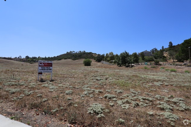
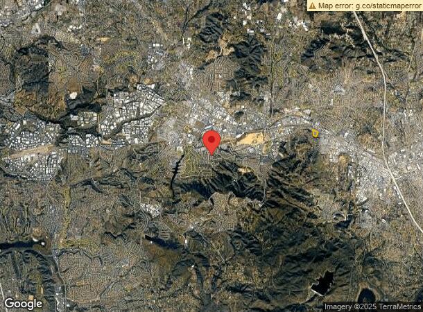
Property Record
943 Barham Dr, San Marcos, CA 92078


Property Detail
943 Barham Dr
San Diego-Chula Vista-Carlsbad, CA
SEC 18-12-2W POR
228-310-01
SAN DIEGO
Residentialacreage
California
MU-3
1,3
B and X Area of moderate flood hazard, usually the area between the limits of the 100-year and 500-year floods.
10 AC
2024
San Marcos
2025
San Diego
020026
NEARBY LISTINGS FOR SALE OR LEASE
DEMOGRAPHICS near 943 Barham Dr
1 mile
3 mile
5 mile
2025 Total Population
10,738
93,672
235,129
2030 Population
10,794
94,105
235,304
Pop Growth 2025-2030
+ 0.52%
+ 0.46%
+ 0.07%
Average Age
41
39
39
2025 Total Households
3,786
31,811
75,842
HH Growth 2025-2030
+ 0.77%
+ 0.33%
0.00%
Median Household Inc
$101,216
$99,213
$97,174
Avg Household Size
2.70
2.80
3.00
2025 Avg HH Vehicles
2.00
2.00
2.00
Median Home Value
$722,222
$754,717
$791,478
Median Year Built
1984
1986
1983
Nearby Places
Map Layers
Map Styles
 Street
 Aerial
Layers
 Traffic
 Biking
Places
Listings with unknown addresses are not visible on the map
- Restaurants
- Banks
- Shops
- Fitness
- Groceries
PUBLIC TRANSPORTATION
COMMUTER RAIL
Carlsbad Poinsettia (Coaster - San Diego North County Transit District (Coaster/Sprinter/Breeze))
Drive
Walk
Distance
Carlsbad Poinsettia (Coaster - San Diego North County Transit District (Coaster/Sprinter/Breeze))
17 min
9.5 mi
AIRPORT
San Diego International
Drive
Walk
Distance
San Diego International
49 min
34.8 mi
Freight Ports
Port of San Diego
Drive
Walk
Distance
Port of San Diego
52 min
38.9 mi
SALE & LEASE HISTORY
LISTING DATE
SALE/LEASE

Sep 24, 2016
For Sale
Mar 29, 2017
For Lease
Jul 24, 2019
For Sale
Nearby Properties
Address
Land Use
TOTAL SIZE
Lot Size
Zoning
Address
Land Use
TOTAL SIZE
Lot Size
Zoning
27.98 AC
SPA
Address
Land Use
TOTAL SIZE
Lot Size
Zoning
9,999 SF
15.37 AC
SPA
Address
Land Use
TOTAL SIZE
Lot Size
Zoning
5.25 AC
SPA
Address
Land Use
TOTAL SIZE
Lot Size
Zoning
5.37 AC
SPA
Address
Land Use
TOTAL SIZE
Lot Size
Zoning
10.82 AC
SPA
Address
Land Use
TOTAL SIZE
Lot Size
Zoning
28.45 AC
O-S
Address
Land Use
TOTAL SIZE
Lot Size
Zoning
11.87 AC
R-M
Address
Land Use
TOTAL SIZE
Lot Size
Zoning
9.41 AC
SPI
Address
Land Use
TOTAL SIZE
Lot Size
Zoning
16.91 AC
C
Address
Land Use
TOTAL SIZE
Lot Size
Zoning
11.08 AC
SPI
Address
Land Use
TOTAL SIZE
Lot Size
Zoning
9.88 AC
R-3-10
Address
Land Use
TOTAL SIZE
Lot Size
Zoning
SPECIFIC P
Address
Land Use
TOTAL SIZE
Lot Size
Zoning
11.49 AC
P-M
Address
Land Use
TOTAL SIZE
Lot Size
Zoning
4.76 AC
C34
Address
Land Use
TOTAL SIZE
Lot Size
Zoning
9.80 AC
I
Address
Land Use
TOTAL SIZE
Lot Size
Zoning
27.30 AC
SPI
Address
Land Use
TOTAL SIZE
Lot Size
Zoning
19.68 AC
SPI
Address
Land Use
TOTAL SIZE
Lot Size
Zoning
10.80 AC
SPA
Address
Land Use
TOTAL SIZE
Lot Size
Zoning
1.94 AC
C
Address
Land Use
TOTAL SIZE
Lot Size
Zoning
9.99 AC
MU-1
Address
Land Use
TOTAL SIZE
Lot Size
Zoning
4.65 AC
SPI
Address
Land Use
TOTAL SIZE
Lot Size
Zoning
8.07 AC
SPI
Address
Land Use
TOTAL SIZE
Lot Size
Zoning
1.49 AC
SPA
Address
Land Use
TOTAL SIZE
Lot Size
Zoning
7.54 AC
SPA
Address
Land Use
TOTAL SIZE
Lot Size
Zoning
Address
Land Use
TOTAL SIZE
Lot Size
Zoning
5.85 AC
SPA
Address
Land Use
TOTAL SIZE
Lot Size
Zoning
99,840 SF
5.20 AC
SPI
Address
Land Use
TOTAL SIZE
Lot Size
Zoning
9.75 AC
RU
Address
Land Use
TOTAL SIZE
Lot Size
Zoning
15.59 AC
SPI
Address
Land Use
TOTAL SIZE
Lot Size
Zoning
95,713 SF
0.51 AC
C
The World's #1 Commercial Real Estate Marketplace
Connect with us
© 2026 CoStar Group
The information above has been obtained from sources believed reliable. While we do not doubt its accuracy we have not verified it and make no guarantee, warranty or representation about it. It is your responsibility to independently confirm its accuracy and completeness. Any projections, opinions, assumptions, or estimates used are for example only and do not represent the current or future performance of the property. The value of this transaction to you depends on tax and other factors which should be evaluated by your tax, financial, and legal advisors. You and your advisors should conduct a careful, independent investigation of the property to determine to your satisfaction the suitability of the property for your needs.