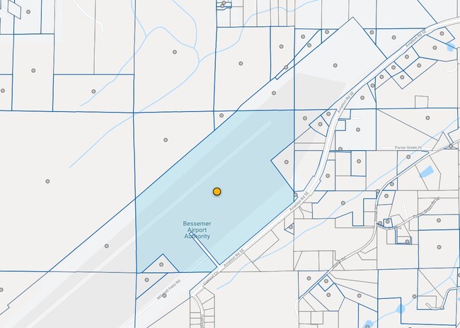
Property Record
950 Mitchell Field Rd Se, Bessemer, AL 35022

NEARBY LISTINGS FOR SALE OR LEASE
Property Detail
950 Mitchell Field Rd Se
42-00-11-1-000-004.000
BEG AT NE COR NE1/4 OF SEC 11 TSP 20S R 4W TH S 520 FT TH SW 535 FT SE 658 FT TH S 130 FT TO N R/W OF AVIATION RD TH SW ALG R/W 1730 FT TH S 75 FT TO PT ON S/L OF SD 1/4 SEC TH W 640 TH NW 418 FT SW 498 FT W 50 FT N 1250 FT NE 2247 FT E 950 FT TO POB
Airport
Jefferson
X
Alabama
01117C0185F
105.50 AC
0
Bessemer
2024
Birmingham
014208
Birmingham, AL
42,748 SF
DEMOGRAPHICS near 950 Mitchell Field Rd Se
1 Mile
3 Mile
5 Mile
2024 Total Population
852
13,957
47,209
2029 Population
837
13,816
47,815
Pop Growth 2024-2029
(1.76%)
(1.01%)
+ 1.28%
Average Age
42
41
39
2024 Total Households
314
5,030
17,050
HH Growth 2024-2029
(1.91%)
(1.17%)
+ 1.04%
Median Household Inc
$96,353
$107,833
$97,819
Avg Household Size
2.70
2.70
2.70
2024 Avg HH Vehicles
2.00
2.00
2.00
Median Home Value
$295,651
$298,985
$277,745
Median Year Built
2000
1995
2000
Nearby Places
Map Layers
Map Styles
 Street
 Aerial
- Restaurants
- Banks
- Shops
- Fitness
- Groceries
PUBLIC TRANSPORTATION
AIRPORT
Birmingham-Shuttlesworth International
DRIVE
WALK
Distance
Birmingham-Shuttlesworth International
42 min
26.6 mi
Freight Ports
Port of Mobile
DRIVE
WALK
Distance
Port of Mobile
282 min
246.9 mi
Nearby Properties
Address
Land Use
TOTAL SIZE
Lot Size
Zoning
Address
Land Use
TOTAL SIZE
Lot Size
Zoning
55,007 SF
13.70 AC
C-Y
Address
Land Use
TOTAL SIZE
Lot Size
Zoning
440,970 SF
16 AC
I2
Address
Land Use
TOTAL SIZE
Lot Size
Zoning
208,000 SF
9.60 AC
SC-1
Address
Land Use
TOTAL SIZE
Lot Size
Zoning
130,568 SF
8.52 AC
SC-1
Address
Land Use
TOTAL SIZE
Lot Size
Zoning
123,814 SF
10.15 AC
I2
Address
Land Use
TOTAL SIZE
Lot Size
Zoning
72,745 SF
8.90 AC
SC-1
Address
Land Use
TOTAL SIZE
Lot Size
Zoning
84,580 SF
4.41 AC
SC-1
Address
Land Use
TOTAL SIZE
Lot Size
Zoning
62,778 SF
7.25 AC
R2
Address
Land Use
TOTAL SIZE
Lot Size
Zoning
44,006 SF
35.50 AC
I-1
Address
Land Use
TOTAL SIZE
Lot Size
Zoning
33,226 SF
7.80 AC
R4
Address
Land Use
TOTAL SIZE
Lot Size
Zoning
49,447 SF
3.89 AC
SC-1
Address
Land Use
TOTAL SIZE
Lot Size
Zoning
99,968 SF
15 AC
I-4
Address
Land Use
TOTAL SIZE
Lot Size
Zoning
32,693 SF
3.16 AC
SC-1
Address
Land Use
TOTAL SIZE
Lot Size
Zoning
13,233 SF
52.20 AC
R7/C
Address
Land Use
TOTAL SIZE
Lot Size
Zoning
64,170 SF
3.20 AC
I-1
Address
Land Use
TOTAL SIZE
Lot Size
Zoning
113,830 SF
4.80 AC
I-2
Address
Land Use
TOTAL SIZE
Lot Size
Zoning
19,803 SF
1.38 AC
C2
Address
Land Use
TOTAL SIZE
Lot Size
Zoning
53,784 SF
3.91 AC
I-2
Address
Land Use
TOTAL SIZE
Lot Size
Zoning
31,500 SF
4.10 AC
C4
Address
Land Use
TOTAL SIZE
Lot Size
Zoning
60,076 SF
10.17 AC
I2
Address
Land Use
TOTAL SIZE
Lot Size
Zoning
102,772 SF
5.80 AC
I1
Address
Land Use
TOTAL SIZE
Lot Size
Zoning
23,692 SF
2.10 AC
C4
Address
Land Use
TOTAL SIZE
Lot Size
Zoning
1,632 SF
13 AC
I2
Address
Land Use
TOTAL SIZE
Lot Size
Zoning
34,375 SF
5.50 AC
I2
Address
Land Use
TOTAL SIZE
Lot Size
Zoning
25,950 SF
2.30 AC
I2
Address
Land Use
TOTAL SIZE
Lot Size
Zoning
64,309 SF
8.02 AC
C3
Address
Land Use
TOTAL SIZE
Lot Size
Zoning
9,860 SF
2.48 AC
I1
Address
Land Use
TOTAL SIZE
Lot Size
Zoning
28,440 SF
2 AC
R2
Address
Land Use
TOTAL SIZE
Lot Size
Zoning
46,009 SF
110 AC
A1
The World's #1 Commercial Real Estate Marketplace
Connect with us
© 2026 CoStar Group
The information above has been obtained from sources believed reliable. While we do not doubt its accuracy we have not verified it and make no guarantee, warranty or representation about it. It is your responsibility to independently confirm its accuracy and completeness. Any projections, opinions, assumptions, or estimates used are for example only and do not represent the current or future performance of the property. The value of this transaction to you depends on tax and other factors which should be evaluated by your tax, financial, and legal advisors. You and your advisors should conduct a careful, independent investigation of the property to determine to your satisfaction the suitability of the property for your needs.