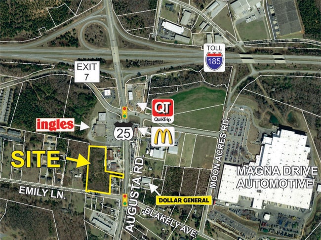
Property Record
955 W Wade Hampton Blvd, Greer, SC 29650
Property Detail
955 W Wade Hampton Blvd
Greenville-Anderson-Greer, SC
MAP G011.01; 8
G011.01-01-002.00
Greenville
Officebuilding
South Carolina
C3
008.00
B and X Area of moderate flood hazard, usually the area between the limits of the 100-year and 500-year floods.
0.03 AC
2025
Western Greenville County
2025
Greenville/Spartanburg
002504
NEARBY LISTINGS FOR SALE OR LEASE
DEMOGRAPHICS near 955 W Wade Hampton Blvd
1 mile
3 mile
5 mile
2025 Total Population
1,862
13,478
56,426
2030 Population
2,024
14,927
61,726
Pop Growth 2025-2030
+ 8.70%
+ 10.75%
+ 9.39%
Average Age
39
38
39
2025 Total Households
720
4,929
21,129
HH Growth 2025-2030
+ 8.89%
+ 10.83%
+ 9.56%
Median Household Inc
$57,820
$66,649
$66,113
Avg Household Size
2.50
2.60
2.60
2025 Avg HH Vehicles
2.00
2.00
2.00
Median Home Value
$304,365
$266,905
$252,075
Median Year Built
1994
1996
1994
Nearby Places
Map Layers
Map Styles
 Street
 Aerial
Layers
 Traffic
 Biking
Places
Listings with unknown addresses are not visible on the map
- Restaurants
- Banks
- Shops
- Fitness
- Groceries
PUBLIC TRANSPORTATION
AIRPORT
Greenville Spartanburg International
Drive
Walk
Distance
Greenville Spartanburg International
15 min
6.8 mi
Freight Ports
North Charleston Terminal
Drive
Walk
Distance
North Charleston Terminal
239 min
207.7 mi
SALE & LEASE HISTORY
LISTING DATE
SALE/LEASE

Dec 20, 2017
For Sale
Nearby Properties
Address
Land Use
TOTAL SIZE
Lot Size
Zoning
Address
Land Use
TOTAL SIZE
Lot Size
Zoning
14.20 AC
UNZONED
Address
Land Use
TOTAL SIZE
Lot Size
Zoning
532 SF
72.61 AC
I1
Address
Land Use
TOTAL SIZE
Lot Size
Zoning
13.25 AC
I1
Address
Land Use
TOTAL SIZE
Lot Size
Zoning
5.07 AC
C2
Address
Land Use
TOTAL SIZE
Lot Size
Zoning
8.30 AC
RM
Address
Land Use
TOTAL SIZE
Lot Size
Zoning
0.42 AC
OD
Address
Land Use
TOTAL SIZE
Lot Size
Zoning
99.01 AC
I1
Address
Land Use
TOTAL SIZE
Lot Size
Zoning
14.33 AC
I1
Address
Land Use
TOTAL SIZE
Lot Size
Zoning
48.84 AC
C2
Address
Land Use
TOTAL SIZE
Lot Size
Zoning
11.80 AC
R10
Address
Land Use
TOTAL SIZE
Lot Size
Zoning
11.30 AC
R10
Address
Land Use
TOTAL SIZE
Lot Size
Zoning
9.50 AC
I1
Address
Land Use
TOTAL SIZE
Lot Size
Zoning
8.22 AC
I1
Address
Land Use
TOTAL SIZE
Lot Size
Zoning
1.05 AC
S1
Address
Land Use
TOTAL SIZE
Lot Size
Zoning
6.81 AC
RM
Address
Land Use
TOTAL SIZE
Lot Size
Zoning
1.90 AC
I1
Address
Land Use
TOTAL SIZE
Lot Size
Zoning
92.74 AC
R15
Address
Land Use
TOTAL SIZE
Lot Size
Zoning
10.20 AC
S1
Address
Land Use
TOTAL SIZE
Lot Size
Zoning
25.70 AC
R20
Address
Land Use
TOTAL SIZE
Lot Size
Zoning
5.23 AC
I1
Address
Land Use
TOTAL SIZE
Lot Size
Zoning
5.15 AC
R15
Address
Land Use
TOTAL SIZE
Lot Size
Zoning
12.91 AC
RM
Address
Land Use
TOTAL SIZE
Lot Size
Zoning
11.70 AC
C2
Address
Land Use
TOTAL SIZE
Lot Size
Zoning
2.15 AC
C2
Address
Land Use
TOTAL SIZE
Lot Size
Zoning
0.51 AC
C1
Address
Land Use
TOTAL SIZE
Lot Size
Zoning
1.15 AC
C1
Address
Land Use
TOTAL SIZE
Lot Size
Zoning
4.07 AC
OD
Address
Land Use
TOTAL SIZE
Lot Size
Zoning
6.90 AC
I1
Address
Land Use
TOTAL SIZE
Lot Size
Zoning
91,927 SF
21.14 AC
Address
Land Use
TOTAL SIZE
Lot Size
Zoning
44.37 AC
R15
The World's #1 Commercial Real Estate Marketplace
Connect with us
© 2026 CoStar Group
The information above has been obtained from sources believed reliable. While we do not doubt its accuracy we have not verified it and make no guarantee, warranty or representation about it. It is your responsibility to independently confirm its accuracy and completeness. Any projections, opinions, assumptions, or estimates used are for example only and do not represent the current or future performance of the property. The value of this transaction to you depends on tax and other factors which should be evaluated by your tax, financial, and legal advisors. You and your advisors should conduct a careful, independent investigation of the property to determine to your satisfaction the suitability of the property for your needs.