Property Record
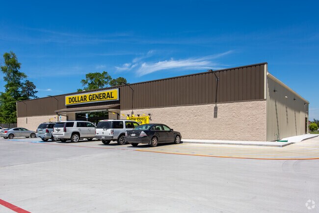
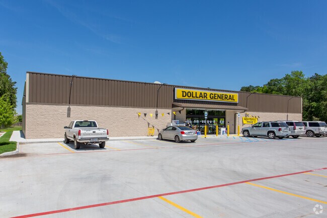
9620 E Woodmark, Conroe, TX 77304

Property Detail
9620 E Woodmark
9626-90-00200
S962690 - WOODMARK 01 REPLAT NO 2, RES B, ACRES 1.15
Commercialnec
MONTGOMERY
B and X Area of moderate flood hazard, usually the area between the limits of the 100-year and 500-year floods.
Texas
2024
1.15 AC
2025
Montgomery County
694401
Houston
9,504 SF
Houston-Pasadena-The Woodlands, TX
NEARBY LISTINGS FOR SALE OR LEASE
DEMOGRAPHICS near 9620 E Woodmark
1 mile
3 mile
5 mile
2025 Total Population
1,317
25,303
91,291
2030 Population
1,559
30,016
108,380
Pop Growth 2025-2030
+ 18.38%
+ 18.63%
+ 18.72%
Average Age
38
39
39
2025 Total Households
512
9,617
34,956
HH Growth 2025-2030
+ 18.75%
+ 19.10%
+ 19.19%
Median Household Inc
$83,108
$105,733
$88,686
Avg Household Size
2.60
2.60
2.60
2025 Avg HH Vehicles
2.00
2.00
2.00
Median Home Value
$277,631
$437,419
$391,897
Median Year Built
2011
2011
2010
Nearby Places
Map Layers
Map Styles
 Street
 Aerial
Transit
 Traffic
 Biking
Places
Listings with unknown addresses are not visible on the map
- Restaurants
- Banks
- Shops
- Fitness
- Groceries
PUBLIC TRANSPORTATION
AIRPORT
George Bush Intcntl/Houston
Drive
Walk
Distance
George Bush Intcntl/Houston
45 min
35.5 mi
Freight Ports
Port of Houston
Drive
Walk
Distance
Port of Houston
68 min
51.2 mi
SALE & LEASE HISTORY
LISTING DATE
SALE/LEASE

Dec 19, 2019
For Sale
Nearby Properties
Address
Land Use
TOTAL SIZE
Lot Size
Zoning
Address
Land Use
TOTAL SIZE
Lot Size
Zoning
296,593 SF
13.03 AC
Address
Land Use
TOTAL SIZE
Lot Size
Zoning
294,336 SF
20.39 AC
Address
Land Use
TOTAL SIZE
Lot Size
Zoning
204,716 SF
15.51 AC
Address
Land Use
TOTAL SIZE
Lot Size
Zoning
229,345 SF
12.36 AC
1
Address
Land Use
TOTAL SIZE
Lot Size
Zoning
134,935 SF
10.50 AC
1
Address
Land Use
TOTAL SIZE
Lot Size
Zoning
250,716 SF
11.17 AC
1
Address
Land Use
TOTAL SIZE
Lot Size
Zoning
134,621 SF
26.37 AC
Address
Land Use
TOTAL SIZE
Lot Size
Zoning
313,974 SF
25.03 AC
1
Address
Land Use
TOTAL SIZE
Lot Size
Zoning
157,996 SF
9 AC
Address
Land Use
TOTAL SIZE
Lot Size
Zoning
125,042 SF
7.39 AC
Address
Land Use
TOTAL SIZE
Lot Size
Zoning
239,104 SF
65.54 AC
1
Address
Land Use
TOTAL SIZE
Lot Size
Zoning
114,547 SF
57.94 AC
1
Address
Land Use
TOTAL SIZE
Lot Size
Zoning
17,544 SF
24.25 AC
1
Address
Land Use
TOTAL SIZE
Lot Size
Zoning
109,998 SF
13.20 AC
Address
Land Use
TOTAL SIZE
Lot Size
Zoning
190,000 SF
7.54 AC
Address
Land Use
TOTAL SIZE
Lot Size
Zoning
81,011 SF
21.53 AC
Address
Land Use
TOTAL SIZE
Lot Size
Zoning
45,301 SF
13.18 AC
1
Address
Land Use
TOTAL SIZE
Lot Size
Zoning
68,576 SF
26.39 AC
Address
Land Use
TOTAL SIZE
Lot Size
Zoning
68,967 SF
20.19 AC
1
Address
Land Use
TOTAL SIZE
Lot Size
Zoning
74,395 SF
8.44 AC
Address
Land Use
TOTAL SIZE
Lot Size
Zoning
104,735 SF
29.96 AC
1
Address
Land Use
TOTAL SIZE
Lot Size
Zoning
26,278 SF
9.39 AC
Address
Land Use
TOTAL SIZE
Lot Size
Zoning
14,957 SF
2.10 AC
1
Address
Land Use
TOTAL SIZE
Lot Size
Zoning
54,511 SF
14.42 AC
1
Address
Land Use
TOTAL SIZE
Lot Size
Zoning
14,628 SF
1.33 AC
Address
Land Use
TOTAL SIZE
Lot Size
Zoning
29,500 SF
1.59 AC
Address
Land Use
TOTAL SIZE
Lot Size
Zoning
25,740 SF
17.22 AC
1
Address
Land Use
TOTAL SIZE
Lot Size
Zoning
18,630 SF
11.34 AC
1
Address
Land Use
TOTAL SIZE
Lot Size
Zoning
39,210 SF
3.50 AC
The World's #1 Commercial Real Estate Marketplace
Connect with us
© 2026 CoStar Group
The information above has been obtained from sources believed reliable. While we do not doubt its accuracy we have not verified it and make no guarantee, warranty or representation about it. It is your responsibility to independently confirm its accuracy and completeness. Any projections, opinions, assumptions, or estimates used are for example only and do not represent the current or future performance of the property. The value of this transaction to you depends on tax and other factors which should be evaluated by your tax, financial, and legal advisors. You and your advisors should conduct a careful, independent investigation of the property to determine to your satisfaction the suitability of the property for your needs.