Property Record
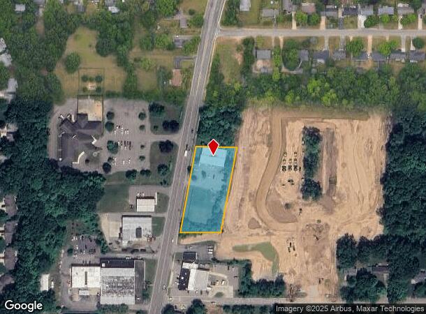
9651 Portage Rd, Portage, MI 49002


NEARBY LISTINGS FOR SALE OR LEASE
Property Detail
9651 Portage Rd
10-00026-085-B
SECTION 26-3-11 COM AT INT OF ELY LI PORTAGE RD WITH N LI OF STANLEY AVE, TH NLY ALG E LI OF PORTAGE RD 265.39 FT FOR P.O.B.,
Commercialnec
Kalamazoo
X
Michigan
26077C0315E
1.40 AC
2024
Southern Kalamazoo County
2025
West Michigan
002102
Kalamazoo-Portage, MI
7,000 SF
DEMOGRAPHICS near 9651 Portage Rd
1 Mile
3 Mile
5 Mile
2024 Total Population
3,908
22,406
58,542
2029 Population
3,891
22,372
58,337
Pop Growth 2024-2029
(0.44%)
(0.15%)
(0.35%)
Average Age
43
41
40
2024 Total Households
1,564
9,208
24,259
HH Growth 2024-2029
(0.51%)
(0.16%)
(0.39%)
Median Household Inc
$81,352
$74,151
$70,328
Avg Household Size
2.50
2.40
2.40
2024 Avg HH Vehicles
2.00
2.00
2.00
Median Home Value
$261,483
$230,608
$224,545
Median Year Built
1990
1975
1975
Nearby Places
Map Layers
Map Styles
 Street
 Aerial
- Restaurants
- Banks
- Shops
- Fitness
- Groceries
PUBLIC TRANSPORTATION
COMMUTER RAIL
Kalamazoo (Blue Water - Amtrak, Wolverine - Amtrak)
DRIVE
WALK
Distance
Kalamazoo (Blue Water - Amtrak, Wolverine - Amtrak)
18 min
8.8 mi
AIRPORT
Kalamazoo/Battle Creek International
DRIVE
WALK
Distance
Kalamazoo/Battle Creek International
15 min
6.1 mi
Freight Ports
Port of Toledo
DRIVE
WALK
Distance
Port of Toledo
179 min
147.7 mi
SALE & LEASE HISTORY
LISTING DATE
SALE/LEASE

Sep 29, 2023
For Lease
Sep 25, 2016
For Lease
Sep 24, 2016
For Sale
Sep 23, 2016
For Sale
Sep 04, 2024
For Lease
Jun 29, 2023
For Sale
Jan 24, 2022
For Lease
Feb 23, 2017
For Sale
Nearby Properties
Address
Land Use
TOTAL SIZE
Lot Size
Zoning
Address
Land Use
TOTAL SIZE
Lot Size
Zoning
435.98 AC
I-2
Address
Land Use
TOTAL SIZE
Lot Size
Zoning
Address
Land Use
TOTAL SIZE
Lot Size
Zoning
691,902 SF
12.34 AC
Address
Land Use
TOTAL SIZE
Lot Size
Zoning
78.75 AC
I-2
Address
Land Use
TOTAL SIZE
Lot Size
Zoning
Address
Land Use
TOTAL SIZE
Lot Size
Zoning
Address
Land Use
TOTAL SIZE
Lot Size
Zoning
Address
Land Use
TOTAL SIZE
Lot Size
Zoning
19.39 AC
OTR
Address
Land Use
TOTAL SIZE
Lot Size
Zoning
18.57 AC
Address
Land Use
TOTAL SIZE
Lot Size
Zoning
16.58 AC
Address
Land Use
TOTAL SIZE
Lot Size
Zoning
28.49 AC
I-2
Address
Land Use
TOTAL SIZE
Lot Size
Zoning
151,395 SF
33.79 AC
CPD
Address
Land Use
TOTAL SIZE
Lot Size
Zoning
66.34 AC
B-3
Address
Land Use
TOTAL SIZE
Lot Size
Zoning
188,352 SF
67.55 AC
Address
Land Use
TOTAL SIZE
Lot Size
Zoning
20,760 SF
12.86 AC
RM-1
Address
Land Use
TOTAL SIZE
Lot Size
Zoning
9,246 SF
10.24 AC
RM-1
Address
Land Use
TOTAL SIZE
Lot Size
Zoning
168,173 SF
16.32 AC
I-2
Address
Land Use
TOTAL SIZE
Lot Size
Zoning
120,324 SF
10.67 AC
OS-1
Address
Land Use
TOTAL SIZE
Lot Size
Zoning
380,000 SF
40.75 AC
I-2
Address
Land Use
TOTAL SIZE
Lot Size
Zoning
135,548 SF
12.45 AC
CPD
Address
Land Use
TOTAL SIZE
Lot Size
Zoning
44,494 SF
I-2
Address
Land Use
TOTAL SIZE
Lot Size
Zoning
22,809 SF
6.80 AC
RM-1
Address
Land Use
TOTAL SIZE
Lot Size
Zoning
4.72 AC
OS-1
Address
Land Use
TOTAL SIZE
Lot Size
Zoning
45,000 SF
5.08 AC
B-3
Address
Land Use
TOTAL SIZE
Lot Size
Zoning
7.80 AC
B-3
Address
Land Use
TOTAL SIZE
Lot Size
Zoning
3.90 AC
OS-1
Address
Land Use
TOTAL SIZE
Lot Size
Zoning
13.63 AC
OS-1
Address
Land Use
TOTAL SIZE
Lot Size
Zoning
40,008 SF
12.01 AC
B-2
Address
Land Use
TOTAL SIZE
Lot Size
Zoning
1,500 SF
I-2
Address
Land Use
TOTAL SIZE
Lot Size
Zoning
5.70 AC
I-1
The World's #1 Commercial Real Estate Marketplace
Connect with us
© 2025 CoStar Group
The information above has been obtained from sources believed reliable. While we do not doubt its accuracy we have not verified it and make no guarantee, warranty or representation about it. It is your responsibility to independently confirm its accuracy and completeness. Any projections, opinions, assumptions, or estimates used are for example only and do not represent the current or future performance of the property. The value of this transaction to you depends on tax and other factors which should be evaluated by your tax, financial, and legal advisors. You and your advisors should conduct a careful, independent investigation of the property to determine to your satisfaction the suitability of the property for your needs.