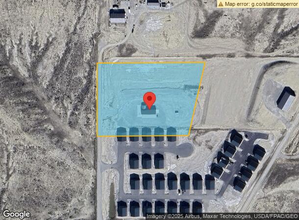
Property Record
97 S 80Th St W, Billings, MT 59106


NEARBY LISTINGS FOR SALE OR LEASE
Property Detail
97 S 80Th St W
03-0925-12-2-17-01-0000
S12, T01 S, R24 E, C.O.S. 1385, PARCEL 2A1A, 3RD AMD (17)
Commercialnec
Yellowstone
X
Montana
30111C1240E
5.22 AC
2024
Billings
2025
Other Market Areas
001403
Billings, MT
3,776 SF
DEMOGRAPHICS near 97 S 80Th St W
1 Mile
3 Mile
5 Mile
2024 Total Population
985
5,716
21,566
2029 Population
1,074
6,255
23,632
Pop Growth 2024-2029
+ 9.04%
+ 9.43%
+ 9.58%
Average Age
38
38
40
2024 Total Households
340
2,104
8,395
HH Growth 2024-2029
+ 9.41%
+ 9.70%
+ 9.84%
Median Household Inc
$91,926
$89,212
$98,399
Avg Household Size
2.80
2.70
2.50
2024 Avg HH Vehicles
3.00
2.00
2.00
Median Home Value
$417,857
$411,956
$455,284
Median Year Built
2005
2008
2009
Nearby Places
Map Layers
Map Styles
 Street
 Aerial
- Restaurants
- Banks
- Shops
- Fitness
- Groceries
PUBLIC TRANSPORTATION
AIRPORT
Billings Logan International
DRIVE
WALK
Distance
Billings Logan International
35 min
14.8 mi
Freight Ports
Port of Everett
DRIVE
WALK
Distance
Port of Everett
881 min
836.3 mi
SALE & LEASE HISTORY
LISTING DATE
SALE/LEASE

May 03, 2022
For Sale
Nearby Properties
Address
Land Use
TOTAL SIZE
Lot Size
Zoning
Address
Land Use
TOTAL SIZE
Lot Size
Zoning
35.04 AC
Address
Land Use
TOTAL SIZE
Lot Size
Zoning
11,210 SF
14.37 AC
Address
Land Use
TOTAL SIZE
Lot Size
Zoning
40,490 SF
6.86 AC
Address
Land Use
TOTAL SIZE
Lot Size
Zoning
70,878 SF
5.21 AC
Address
Land Use
TOTAL SIZE
Lot Size
Zoning
27,785 SF
4.14 AC
Address
Land Use
TOTAL SIZE
Lot Size
Zoning
22,004 SF
0.96 AC
Address
Land Use
TOTAL SIZE
Lot Size
Zoning
11,637 SF
2 AC
Address
Land Use
TOTAL SIZE
Lot Size
Zoning
16,160 SF
0.96 AC
Address
Land Use
TOTAL SIZE
Lot Size
Zoning
12,961 SF
1.01 AC
Address
Land Use
TOTAL SIZE
Lot Size
Zoning
11,500 SF
1.07 AC
Address
Land Use
TOTAL SIZE
Lot Size
Zoning
15,810 SF
11.67 AC
Address
Land Use
TOTAL SIZE
Lot Size
Zoning
16,808 SF
21.02 AC
Address
Land Use
TOTAL SIZE
Lot Size
Zoning
2.78 AC
Address
Land Use
TOTAL SIZE
Lot Size
Zoning
12,492 SF
1.07 AC
Address
Land Use
TOTAL SIZE
Lot Size
Zoning
52,365 SF
9.33 AC
Address
Land Use
TOTAL SIZE
Lot Size
Zoning
11,930 SF
1.06 AC
Address
Land Use
TOTAL SIZE
Lot Size
Zoning
15,750 SF
8.25 AC
Address
Land Use
TOTAL SIZE
Lot Size
Zoning
12,044 SF
1.07 AC
Address
Land Use
TOTAL SIZE
Lot Size
Zoning
12,280 SF
3.39 AC
Address
Land Use
TOTAL SIZE
Lot Size
Zoning
6,720 SF
1 AC
Address
Land Use
TOTAL SIZE
Lot Size
Zoning
16,494 SF
4 AC
Address
Land Use
TOTAL SIZE
Lot Size
Zoning
10,560 SF
1.07 AC
Address
Land Use
TOTAL SIZE
Lot Size
Zoning
17,600 SF
3.31 AC
Address
Land Use
TOTAL SIZE
Lot Size
Zoning
12,000 SF
1.02 AC
Address
Land Use
TOTAL SIZE
Lot Size
Zoning
9,847 SF
35.19 AC
8
Address
Land Use
TOTAL SIZE
Lot Size
Zoning
6,552 SF
20.78 AC
1
Address
Land Use
TOTAL SIZE
Lot Size
Zoning
14.85 AC
Address
Land Use
TOTAL SIZE
Lot Size
Zoning
4,514 SF
5 AC
Address
Land Use
TOTAL SIZE
Lot Size
Zoning
8,965 SF
10.78 AC
Address
Land Use
TOTAL SIZE
Lot Size
Zoning
19,715 SF
1.49 AC
The World's #1 Commercial Real Estate Marketplace
Connect with us
© 2026 CoStar Group
The information above has been obtained from sources believed reliable. While we do not doubt its accuracy we have not verified it and make no guarantee, warranty or representation about it. It is your responsibility to independently confirm its accuracy and completeness. Any projections, opinions, assumptions, or estimates used are for example only and do not represent the current or future performance of the property. The value of this transaction to you depends on tax and other factors which should be evaluated by your tax, financial, and legal advisors. You and your advisors should conduct a careful, independent investigation of the property to determine to your satisfaction the suitability of the property for your needs.