Property Record
970 Lassen Dr, Menlo Park, CA 94025


Property Detail
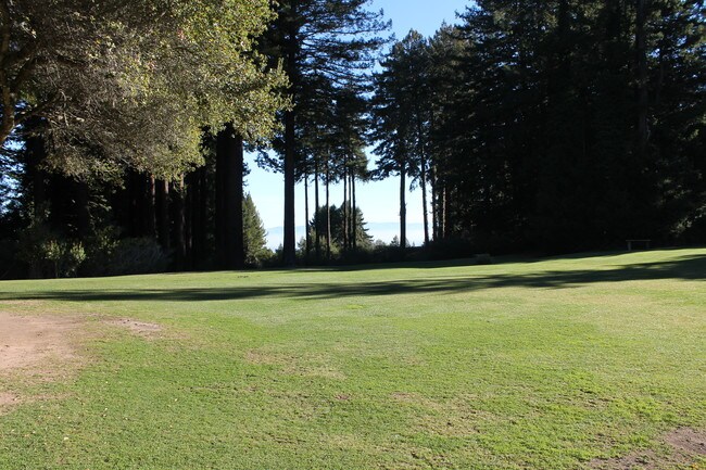
970 Lassen Dr
San Francisco-San Mateo-Redwood City, CA
NELY SKYLINE BLVD FRONTAGE 410 FT PTN LOT 50 51 PORTOLA HILLS PTN OF RSM 7/20
075-103-050
SAN MATEO
Vacantlandnec
California
H100RC
50
B and X Area of moderate flood hazard, usually the area between the limits of the 100-year and 500-year floods.
8.27 AC
2024
Redwood City
2025
San Francisco
613400
NEARBY LISTINGS FOR SALE OR LEASE
-
-
View all Menlo Park listings for sale on LoopNet.com
DEMOGRAPHICS near 970 Lassen Dr
1 mile
3 mile
5 mile
2025 Total Population
1,016
5,857
31,160
2030 Population
1,029
5,975
31,610
Pop Growth 2025-2030
+ 1.28%
+ 2.01%
+ 1.44%
Average Age
47
49
46
2025 Total Households
395
2,261
11,609
HH Growth 2025-2030
+ 1.27%
+ 1.99%
+ 1.40%
Median Household Inc
$191,666
$235,109
$237,682
Avg Household Size
2.60
2.60
2.70
2025 Avg HH Vehicles
3.00
3.00
2.00
Median Home Value
$1,140,196
$1,143,578
$1,140,200
Median Year Built
1958
1968
1967
Nearby Places
Map Layers
Map Styles
 Street
 Aerial
Layers
 Traffic
 Biking
Places
Listings with unknown addresses are not visible on the map
- Restaurants
- Banks
- Shops
- Fitness
- Groceries
PUBLIC TRANSPORTATION
AIRPORT
San Francisco International
Drive
Walk
Distance
San Francisco International
41 min
25.3 mi
Norman Y Mineta San Jose International
Drive
Walk
Distance
Norman Y Mineta San Jose International
41 min
28.4 mi
Metro Oakland International
Drive
Walk
Distance
Metro Oakland International
61 min
43.1 mi
Freight Ports
Port of Redwood City
Drive
Walk
Distance
Port of Redwood City
27 min
12.1 mi
SALE & LEASE HISTORY
LISTING DATE
SALE/LEASE

Sep 23, 2016
For Sale
Feb 13, 2019
For Sale
Nearby Properties
Address
Land Use
TOTAL SIZE
Lot Size
Zoning
Address
Land Use
TOTAL SIZE
Lot Size
Zoning
17.74 AC
Address
Land Use
TOTAL SIZE
Lot Size
Zoning
41.62 AC
Address
Land Use
TOTAL SIZE
Lot Size
Zoning
15.88 AC
RM0000
Address
Land Use
TOTAL SIZE
Lot Size
Zoning
Address
Land Use
TOTAL SIZE
Lot Size
Zoning
6,140 SF
3.19 AC
R1003A
Address
Land Use
TOTAL SIZE
Lot Size
Zoning
6.93 AC
R1003A
Address
Land Use
TOTAL SIZE
Lot Size
Zoning
3 AC
R10000
Address
Land Use
TOTAL SIZE
Lot Size
Zoning
5,190 SF
6.74 AC
RE0003
Address
Land Use
TOTAL SIZE
Lot Size
Zoning
3.93 AC
R1003A
Address
Land Use
TOTAL SIZE
Lot Size
Zoning
3.67 AC
R1003A
Address
Land Use
TOTAL SIZE
Lot Size
Zoning
Address
Land Use
TOTAL SIZE
Lot Size
Zoning
3.31 AC
Address
Land Use
TOTAL SIZE
Lot Size
Zoning
1.68 AC
CL00CC
Address
Land Use
TOTAL SIZE
Lot Size
Zoning
4,146 SF
13.10 AC
Address
Land Use
TOTAL SIZE
Lot Size
Zoning
23.07 AC
Address
Land Use
TOTAL SIZE
Lot Size
Zoning
2,260 SF
3.61 AC
R1003A
Address
Land Use
TOTAL SIZE
Lot Size
Zoning
16,750 SF
2.28 AC
CL00CC
Address
Land Use
TOTAL SIZE
Lot Size
Zoning
Address
Land Use
TOTAL SIZE
Lot Size
Zoning
92.38 AC
Address
Land Use
TOTAL SIZE
Lot Size
Zoning
Address
Land Use
TOTAL SIZE
Lot Size
Zoning
Address
Land Use
TOTAL SIZE
Lot Size
Zoning
Address
Land Use
TOTAL SIZE
Lot Size
Zoning
Address
Land Use
TOTAL SIZE
Lot Size
Zoning
Address
Land Use
TOTAL SIZE
Lot Size
Zoning
2,900 SF
0.34 AC
Address
Land Use
TOTAL SIZE
Lot Size
Zoning
4.78 AC
R1003A
Address
Land Use
TOTAL SIZE
Lot Size
Zoning
4,820 SF
2.56 AC
R1002A
Address
Land Use
TOTAL SIZE
Lot Size
Zoning
2,665 SF
130.22 AC
Address
Land Use
TOTAL SIZE
Lot Size
Zoning
1,920 SF
0.09 AC
Address
Land Use
TOTAL SIZE
Lot Size
Zoning
4.07 AC
R1003A
The World's #1 Commercial Real Estate Marketplace
Connect with us
© 2026 CoStar Group
The information above has been obtained from sources believed reliable. While we do not doubt its accuracy we have not verified it and make no guarantee, warranty or representation about it. It is your responsibility to independently confirm its accuracy and completeness. Any projections, opinions, assumptions, or estimates used are for example only and do not represent the current or future performance of the property. The value of this transaction to you depends on tax and other factors which should be evaluated by your tax, financial, and legal advisors. You and your advisors should conduct a careful, independent investigation of the property to determine to your satisfaction the suitability of the property for your needs.