Property Record
9700 Leavenworth Rd, Kansas City, KS 66109


NEARBY LISTINGS FOR SALE OR LEASE
-
-
View all Kansas City listings for lease on LoopNet.com
Property Detail
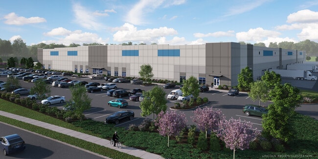
9700 Leavenworth Rd
938101
9381, S25, T10, R23, ACRES 94.17, BEG 1065.61FT W & 40FT N OF SE COR; W 842.04FT, N60W-196.47FT, N83W-103.43FT, N37E-436.25FT, N32E-707.96FT, E 91.78FT, N35E-754.03FT, S56E-597.36FT, W 13.13FT, S30W-117.65FT, S 399.22FT, W 240FT, S 259.71FT, W 367.44
Commercialnec
Wyandotte
AE
Kansas
20103C0275G
1
2021
94.17 AC
2022
Kansas City KS
044804
Kansas City
146,111 SF
Kansas City, MO-KS
DEMOGRAPHICS near 9700 Leavenworth Rd
1 Mile
3 Mile
5 Mile
2024 Total Population
908
19,093
49,429
2029 Population
869
18,463
48,189
Pop Growth 2024-2029
(4.30%)
(3.30%)
(2.51%)
Average Age
38
40
39
2024 Total Households
323
7,244
18,488
HH Growth 2024-2029
(4.33%)
(3.38%)
(2.60%)
Median Household Inc
$99,999
$84,834
$71,929
Avg Household Size
2.80
2.60
2.60
2024 Avg HH Vehicles
3.00
2.00
2.00
Median Home Value
$175,939
$201,721
$186,942
Median Year Built
1974
1980
1974
Nearby Places
Map Layers
Map Styles
 Street
 Aerial
- Restaurants
- Banks
- Shops
- Fitness
- Groceries
PUBLIC TRANSPORTATION
AIRPORT
Kansas City International
DRIVE
WALK
Distance
Kansas City International
28 min
21.3 mi
Freight Ports
Tulsa Port Of Catoosa
DRIVE
WALK
Distance
Tulsa Port Of Catoosa
272 min
242.4 mi
SALE & LEASE HISTORY
LISTING DATE
SALE/LEASE

Oct 23, 2020
For Lease
Oct 23, 2020
For Sale
Nov 13, 2023
For Lease
Nearby Properties
Address
Land Use
TOTAL SIZE
Lot Size
Zoning
Address
Land Use
TOTAL SIZE
Lot Size
Zoning
466.24 AC
Address
Land Use
TOTAL SIZE
Lot Size
Zoning
103,299 SF
13.41 AC
Address
Land Use
TOTAL SIZE
Lot Size
Zoning
87,287 SF
10.30 AC
Address
Land Use
TOTAL SIZE
Lot Size
Zoning
123,957 SF
16.88 AC
Address
Land Use
TOTAL SIZE
Lot Size
Zoning
61,159 SF
2.45 AC
Address
Land Use
TOTAL SIZE
Lot Size
Zoning
176.36 AC
Address
Land Use
TOTAL SIZE
Lot Size
Zoning
700,029 SF
49.54 AC
Address
Land Use
TOTAL SIZE
Lot Size
Zoning
51,739 SF
46.71 AC
Address
Land Use
TOTAL SIZE
Lot Size
Zoning
37,521 SF
11.77 AC
Address
Land Use
TOTAL SIZE
Lot Size
Zoning
108,385 SF
22.86 AC
KAG
Address
Land Use
TOTAL SIZE
Lot Size
Zoning
75,027 SF
13.51 AC
Address
Land Use
TOTAL SIZE
Lot Size
Zoning
268,951 SF
63.35 AC
Address
Land Use
TOTAL SIZE
Lot Size
Zoning
1,099,964 SF
115.80 AC
Address
Land Use
TOTAL SIZE
Lot Size
Zoning
212,021 SF
50.16 AC
KAG
Address
Land Use
TOTAL SIZE
Lot Size
Zoning
66.54 AC
Address
Land Use
TOTAL SIZE
Lot Size
Zoning
48,278 SF
14.62 AC
Address
Land Use
TOTAL SIZE
Lot Size
Zoning
186,293 SF
63.45 AC
Address
Land Use
TOTAL SIZE
Lot Size
Zoning
96,144 SF
38.53 AC
Address
Land Use
TOTAL SIZE
Lot Size
Zoning
437,300 SF
50.66 AC
Address
Land Use
TOTAL SIZE
Lot Size
Zoning
118,146 SF
19.85 AC
WR1B
Address
Land Use
TOTAL SIZE
Lot Size
Zoning
122,784 SF
13.05 AC
Address
Land Use
TOTAL SIZE
Lot Size
Zoning
39,012 SF
13.38 AC
Address
Land Use
TOTAL SIZE
Lot Size
Zoning
116,455 SF
16.49 AC
Address
Land Use
TOTAL SIZE
Lot Size
Zoning
40,016 SF
5.20 AC
Address
Land Use
TOTAL SIZE
Lot Size
Zoning
390,400 SF
59.71 AC
Address
Land Use
TOTAL SIZE
Lot Size
Zoning
57,384 SF
18.81 AC
CPO
Address
Land Use
TOTAL SIZE
Lot Size
Zoning
1,036,732 SF
25.08 AC
KC1
Address
Land Use
TOTAL SIZE
Lot Size
Zoning
1,542 SF
48.61 AC
KR1
Address
Land Use
TOTAL SIZE
Lot Size
Zoning
239,205 SF
17.52 AC
Address
Land Use
TOTAL SIZE
Lot Size
Zoning
56.66 AC
KC1
The World's #1 Commercial Real Estate Marketplace
Connect with us
© 2026 CoStar Group
The information above has been obtained from sources believed reliable. While we do not doubt its accuracy we have not verified it and make no guarantee, warranty or representation about it. It is your responsibility to independently confirm its accuracy and completeness. Any projections, opinions, assumptions, or estimates used are for example only and do not represent the current or future performance of the property. The value of this transaction to you depends on tax and other factors which should be evaluated by your tax, financial, and legal advisors. You and your advisors should conduct a careful, independent investigation of the property to determine to your satisfaction the suitability of the property for your needs.