Property Record
9701 E Bell Rd, Scottsdale, AZ 85260


Property Detail
9701 E Bell Rd
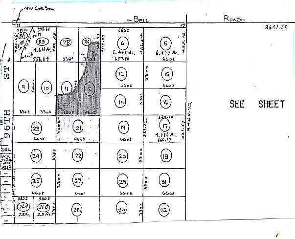
217-14-989
NOTRE DAME PREPARATORY HIGH SCHOOL MCR 1155-47
Religious
Maricopa
R135
Arizona
AO River or stream flood hazard areas, and areas with a 1% or greater chance of shallow flooding each year. These areas have a 26% chance of flooding over the life of a 30-year mortgage.
1
0
41.18 AC
2025
Scottsdale Airpark
216860
Phoenix
140,837 SF
Phoenix-Mesa-Chandler, AZ
NEARBY LISTINGS FOR SALE OR LEASE
DEMOGRAPHICS near 9701 E Bell Rd
1 mile
3 mile
5 mile
2025 Total Population
9,701
53,613
141,790
2030 Population
10,205
56,369
149,871
Pop Growth 2025-2030
+ 5.20%
+ 5.14%
+ 5.70%
Average Age
41
44
45
2025 Total Households
4,377
23,633
64,741
HH Growth 2025-2030
+ 5.28%
+ 5.23%
+ 5.98%
Median Household Inc
$115,491
$125,100
$118,598
Avg Household Size
2.20
2.20
2.10
2025 Avg HH Vehicles
2.00
2.00
2.00
Median Home Value
$827,089
$865,389
$838,799
Median Year Built
1998
1996
1994
Nearby Places
Map Layers
Map Styles
 Street
 Aerial
Layers
 Traffic
 Biking
Places
Listings with unknown addresses are not visible on the map
- Restaurants
- Banks
- Shops
- Fitness
- Groceries
PUBLIC TRANSPORTATION
AIRPORT
Phoenix Sky Harbor International
Drive
Walk
Distance
Phoenix Sky Harbor International
33 min
22.9 mi
Phoenix-Mesa Gateway
Drive
Walk
Distance
Phoenix-Mesa Gateway
52 min
37.9 mi
Freight Ports
Port of San Diego
Drive
Walk
Distance
Port of San Diego
425 min
380.2 mi
Nearby Properties
Address
Land Use
TOTAL SIZE
Lot Size
Zoning
Address
Land Use
TOTAL SIZE
Lot Size
Zoning
20.98 AC
Address
Land Use
TOTAL SIZE
Lot Size
Zoning
13.01 AC
Address
Land Use
TOTAL SIZE
Lot Size
Zoning
1,479,005 SF
12.55 AC
PC
Address
Land Use
TOTAL SIZE
Lot Size
Zoning
3.15 AC
I-P
Address
Land Use
TOTAL SIZE
Lot Size
Zoning
667,688 SF
277.21 AC
Address
Land Use
TOTAL SIZE
Lot Size
Zoning
Address
Land Use
TOTAL SIZE
Lot Size
Zoning
694,644 SF
34.41 AC
C-C
Address
Land Use
TOTAL SIZE
Lot Size
Zoning
794,304 SF
14.59 AC
WTP
Address
Land Use
TOTAL SIZE
Lot Size
Zoning
6.71 AC
PAD
Address
Land Use
TOTAL SIZE
Lot Size
Zoning
762,044 SF
16.66 AC
I1
Address
Land Use
TOTAL SIZE
Lot Size
Zoning
7,803 SF
2.31 AC
I-P
Address
Land Use
TOTAL SIZE
Lot Size
Zoning
533,288 SF
18.61 AC
I-P
Address
Land Use
TOTAL SIZE
Lot Size
Zoning
824,672 SF
11.52 AC
Address
Land Use
TOTAL SIZE
Lot Size
Zoning
884,258 SF
30.63 AC
PCD
Address
Land Use
TOTAL SIZE
Lot Size
Zoning
90.73 AC
O-S
Address
Land Use
TOTAL SIZE
Lot Size
Zoning
124,656 SF
160 AC
R-35
Address
Land Use
TOTAL SIZE
Lot Size
Zoning
542,795 SF
5.56 AC
PCP
Address
Land Use
TOTAL SIZE
Lot Size
Zoning
580,604 SF
7.52 AC
C-T
Address
Land Use
TOTAL SIZE
Lot Size
Zoning
88.08 AC
W-P
Address
Land Use
TOTAL SIZE
Lot Size
Zoning
255,313 SF
22.54 AC
PNC
Address
Land Use
TOTAL SIZE
Lot Size
Zoning
423,600 SF
5.13 AC
I1
Address
Land Use
TOTAL SIZE
Lot Size
Zoning
41.63 AC
I-1
Address
Land Use
TOTAL SIZE
Lot Size
Zoning
353,691 SF
16.18 AC
M-H
Address
Land Use
TOTAL SIZE
Lot Size
Zoning
496,809 SF
21.87 AC
M-H
Address
Land Use
TOTAL SIZE
Lot Size
Zoning
399,994 SF
27.03 AC
R5
Address
Land Use
TOTAL SIZE
Lot Size
Zoning
208,782 SF
25.22 AC
C3
Address
Land Use
TOTAL SIZE
Lot Size
Zoning
191,639 SF
31.94 AC
O-S
Address
Land Use
TOTAL SIZE
Lot Size
Zoning
498,024 SF
4.59 AC
PCP
Address
Land Use
TOTAL SIZE
Lot Size
Zoning
Address
Land Use
TOTAL SIZE
Lot Size
Zoning
397,700 SF
7.68 AC
C-C
The World's #1 Commercial Real Estate Marketplace
Connect with us
© 2026 CoStar Group
The information above has been obtained from sources believed reliable. While we do not doubt its accuracy we have not verified it and make no guarantee, warranty or representation about it. It is your responsibility to independently confirm its accuracy and completeness. Any projections, opinions, assumptions, or estimates used are for example only and do not represent the current or future performance of the property. The value of this transaction to you depends on tax and other factors which should be evaluated by your tax, financial, and legal advisors. You and your advisors should conduct a careful, independent investigation of the property to determine to your satisfaction the suitability of the property for your needs.