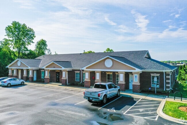
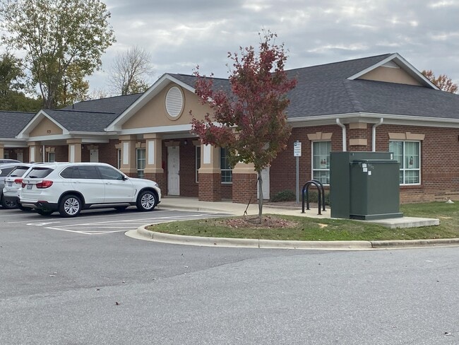
Property Record
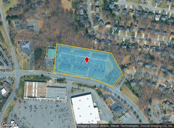
9729 Northeast Pky, Matthews, NC 28105

NEARBY LISTINGS FOR SALE OR LEASE
Property Detail
9729 Northeast Pky
193-431-61
UNIT 500 BLDG F U/F 734-25
Officecondo
Mecklenburg
X
North Carolina
3710458000K
99
0
5.45 AC
2025
Matthews
005709
Charlotte
1,050 SF
Charlotte-Concord-Gastonia, NC-SC
DEMOGRAPHICS near 9729 Northeast Pky
1 Mile
3 Mile
5 Mile
2024 Total Population
4,881
60,189
180,050
2029 Population
5,151
63,759
190,735
Pop Growth 2024-2029
+ 5.53%
+ 5.93%
+ 5.93%
Average Age
40
41
39
2024 Total Households
2,077
24,942
69,514
HH Growth 2024-2029
+ 5.68%
+ 6.04%
+ 6.03%
Median Household Inc
$81,515
$71,759
$76,626
Avg Household Size
2.40
2.40
2.50
2024 Avg HH Vehicles
2.00
2.00
2.00
Median Home Value
$290,871
$315,741
$344,487
Median Year Built
1993
1989
1988
Nearby Places
Map Layers
Map Styles
 Street
 Aerial
- Restaurants
- Banks
- Shops
- Fitness
- Groceries
PUBLIC TRANSPORTATION
AIRPORT
Charlotte/Douglas International
DRIVE
WALK
Distance
Charlotte/Douglas International
30 min
18.1 mi
Concord-Padgett Regional
DRIVE
WALK
Distance
Concord-Padgett Regional
34 min
22.7 mi
Freight Ports
North Charleston Terminal
DRIVE
WALK
Distance
North Charleston Terminal
237 min
206.9 mi
SALE & LEASE HISTORY
LISTING DATE
SALE/LEASE

Oct 28, 2021
For Lease
Nov 06, 2023
For Sale
Jun 24, 2024
For Lease
Jun 05, 2018
For Sale
Jun 05, 2018
For Sale
Jun 05, 2018
For Lease
Feb 06, 2018
For Sale
Feb 06, 2018
For Lease
Nearby Properties
Address
Land Use
TOTAL SIZE
Lot Size
Zoning
Address
Land Use
TOTAL SIZE
Lot Size
Zoning
466,084 SF
42.13 AC
C
Address
Land Use
TOTAL SIZE
Lot Size
Zoning
395,963 SF
43.37 AC
R15
Address
Land Use
TOTAL SIZE
Lot Size
Zoning
750,813 SF
56.11 AC
C
Address
Land Use
TOTAL SIZE
Lot Size
Zoning
262,337 SF
7.35 AC
Address
Land Use
TOTAL SIZE
Lot Size
Zoning
282,922 SF
47.76 AC
R4
Address
Land Use
TOTAL SIZE
Lot Size
Zoning
269,164 SF
18.57 AC
Address
Land Use
TOTAL SIZE
Lot Size
Zoning
382,175 SF
31.67 AC
R12MFCD
Address
Land Use
TOTAL SIZE
Lot Size
Zoning
362,388 SF
26.88 AC
R12MFCD
Address
Land Use
TOTAL SIZE
Lot Size
Zoning
258,053 SF
14.99 AC
Address
Land Use
TOTAL SIZE
Lot Size
Zoning
282,780 SF
21.75 AC
R17MF
Address
Land Use
TOTAL SIZE
Lot Size
Zoning
333,218 SF
22.86 AC
R17MF
Address
Land Use
TOTAL SIZE
Lot Size
Zoning
281,872 SF
37.85 AC
R12CD
Address
Land Use
TOTAL SIZE
Lot Size
Zoning
294,525 SF
24.80 AC
C
Address
Land Use
TOTAL SIZE
Lot Size
Zoning
292,066 SF
2.67 AC
R15MF
Address
Land Use
TOTAL SIZE
Lot Size
Zoning
274,215 SF
17.50 AC
O9CD
Address
Land Use
TOTAL SIZE
Lot Size
Zoning
232,858 SF
21.74 AC
R15MF
Address
Land Use
TOTAL SIZE
Lot Size
Zoning
256,498 SF
23.52 AC
C
Address
Land Use
TOTAL SIZE
Lot Size
Zoning
241,703 SF
17.43 AC
R12MFCD
Address
Land Use
TOTAL SIZE
Lot Size
Zoning
347,952 SF
28.37 AC
OACUD
Address
Land Use
TOTAL SIZE
Lot Size
Zoning
254,369 SF
43.75 AC
B1SCD
Address
Land Use
TOTAL SIZE
Lot Size
Zoning
218,876 SF
14.82 AC
R6MFCD
Address
Land Use
TOTAL SIZE
Lot Size
Zoning
104,880 SF
10.01 AC
R-12
Address
Land Use
TOTAL SIZE
Lot Size
Zoning
174,834 SF
2.51 AC
Address
Land Use
TOTAL SIZE
Lot Size
Zoning
231,072 SF
17.52 AC
R15MFCD
Address
Land Use
TOTAL SIZE
Lot Size
Zoning
254,671 SF
16.10 AC
R12MFCD
Address
Land Use
TOTAL SIZE
Lot Size
Zoning
227,750 SF
25.53 AC
C
Address
Land Use
TOTAL SIZE
Lot Size
Zoning
246,624 SF
24.06 AC
R17MF
Address
Land Use
TOTAL SIZE
Lot Size
Zoning
258,047 SF
64.31 AC
I-CUD
Address
Land Use
TOTAL SIZE
Lot Size
Zoning
255,404 SF
17.76 AC
R12MFCD
Address
Land Use
TOTAL SIZE
Lot Size
Zoning
208,960 SF
7.33 AC
MUDDO
The World's #1 Commercial Real Estate Marketplace
Connect with us
© 2025 CoStar Group
The information above has been obtained from sources believed reliable. While we do not doubt its accuracy we have not verified it and make no guarantee, warranty or representation about it. It is your responsibility to independently confirm its accuracy and completeness. Any projections, opinions, assumptions, or estimates used are for example only and do not represent the current or future performance of the property. The value of this transaction to you depends on tax and other factors which should be evaluated by your tax, financial, and legal advisors. You and your advisors should conduct a careful, independent investigation of the property to determine to your satisfaction the suitability of the property for your needs.