Property Record
9742 Woodlane Dr, Dimondale, MI 48821


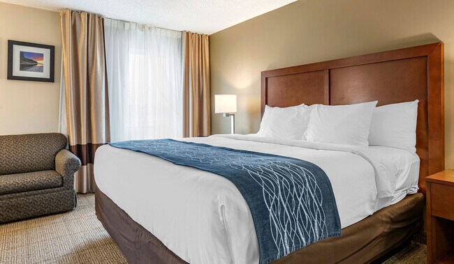
This Property Is For Sale
NEARBY LISTINGS FOR SALE OR LEASE
-
-
View all Dimondale listings for sale on LoopNet.com
Property Detail
9742 Woodlane Dr
080-086-500-412-00
Westland Park
Motel
PART OF LOTS 35-37
X
Eaton
26065C0120D
Michigan
2024
2.12 AC
2025
Lansing/East Lansing
021401
West Michigan
38,338 SF
Lansing-East Lansing, MI
DEMOGRAPHICS near 9742 Woodlane Dr
1 Mile
3 Mile
5 Mile
2024 Total Population
569
18,754
85,575
2029 Population
577
18,708
85,167
Pop Growth 2024-2029
+ 1.41%
(0.25%)
(0.48%)
Average Age
43
40
40
2024 Total Households
226
7,477
36,503
HH Growth 2024-2029
+ 1.33%
(0.35%)
(0.56%)
Median Household Inc
$72,083
$56,565
$59,542
Avg Household Size
2.40
2.40
2.30
2024 Avg HH Vehicles
2.00
2.00
2.00
Median Home Value
$167,916
$156,045
$157,291
Median Year Built
1977
1972
1971
Nearby Places
Map Layers
Map Styles
 Street
 Aerial
- Restaurants
- Banks
- Shops
- Fitness
- Groceries
PUBLIC TRANSPORTATION
COMMUTER RAIL
DRIVE
WALK
Distance
16 min
9.7 mi
AIRPORT
Capital Region International
DRIVE
WALK
Distance
Capital Region International
16 min
8.6 mi
Nearby Properties
Address
Land Use
TOTAL SIZE
Lot Size
Zoning
Address
Land Use
TOTAL SIZE
Lot Size
Zoning
Address
Land Use
TOTAL SIZE
Lot Size
Zoning
4,395,257 SF
324 AC
I HVY
Address
Land Use
TOTAL SIZE
Lot Size
Zoning
1,085,633 SF
115.14 AC
NONE
Address
Land Use
TOTAL SIZE
Lot Size
Zoning
628,230 SF
38.20 AC
NONE
Address
Land Use
TOTAL SIZE
Lot Size
Zoning
217,664 SF
61.37 AC
NONE
Address
Land Use
TOTAL SIZE
Lot Size
Zoning
286.23 AC
NONE
Address
Land Use
TOTAL SIZE
Lot Size
Zoning
389,485 SF
30.04 AC
NONE
Address
Land Use
TOTAL SIZE
Lot Size
Zoning
1,059,295 SF
139.28 AC
NONE
Address
Land Use
TOTAL SIZE
Lot Size
Zoning
198,225 SF
11.54 AC
NONE
Address
Land Use
TOTAL SIZE
Lot Size
Zoning
111,804 SF
80 AC
NONE
Address
Land Use
TOTAL SIZE
Lot Size
Zoning
628,651 SF
34.29 AC
NONE
Address
Land Use
TOTAL SIZE
Lot Size
Zoning
231,000 SF
26 AC
Address
Land Use
TOTAL SIZE
Lot Size
Zoning
292,918 SF
I-FAC
Address
Land Use
TOTAL SIZE
Lot Size
Zoning
824,570 SF
47.65 AC
NONE
Address
Land Use
TOTAL SIZE
Lot Size
Zoning
144,630 SF
11.51 AC
M-1
Address
Land Use
TOTAL SIZE
Lot Size
Zoning
219,176 SF
9.45 AC
NONE
Address
Land Use
TOTAL SIZE
Lot Size
Zoning
590.26 AC
I HVY
Address
Land Use
TOTAL SIZE
Lot Size
Zoning
50,364 SF
25.57 AC
M-1
Address
Land Use
TOTAL SIZE
Lot Size
Zoning
106,344 SF
10.69 AC
NONE
Address
Land Use
TOTAL SIZE
Lot Size
Zoning
250,100 SF
25.45 AC
NONE
Address
Land Use
TOTAL SIZE
Lot Size
Zoning
404,215 SF
40 AC
NONE
Address
Land Use
TOTAL SIZE
Lot Size
Zoning
160,000 SF
16.18 AC
Address
Land Use
TOTAL SIZE
Lot Size
Zoning
269,800 SF
20.10 AC
NONE
Address
Land Use
TOTAL SIZE
Lot Size
Zoning
151,542 SF
6.76 AC
NONE
Address
Land Use
TOTAL SIZE
Lot Size
Zoning
53,147 SF
15.70 AC
C
Address
Land Use
TOTAL SIZE
Lot Size
Zoning
133,280 SF
27.22 AC
Address
Land Use
TOTAL SIZE
Lot Size
Zoning
147,234 SF
17.13 AC
NONE
Address
Land Use
TOTAL SIZE
Lot Size
Zoning
166,296 SF
39.72 AC
NONE
Address
Land Use
TOTAL SIZE
Lot Size
Zoning
441,242 SF
41.27 AC
NONE
Address
Land Use
TOTAL SIZE
Lot Size
Zoning
516,239 SF
33.56 AC
NONE
The World's #1 Commercial Real Estate Marketplace
Connect with us
© 2025 CoStar Group
The information above has been obtained from sources believed reliable. While we do not doubt its accuracy we have not verified it and make no guarantee, warranty or representation about it. It is your responsibility to independently confirm its accuracy and completeness. Any projections, opinions, assumptions, or estimates used are for example only and do not represent the current or future performance of the property. The value of this transaction to you depends on tax and other factors which should be evaluated by your tax, financial, and legal advisors. You and your advisors should conduct a careful, independent investigation of the property to determine to your satisfaction the suitability of the property for your needs.