Property Record
979 Dickinson St, Springfield, MA 01108


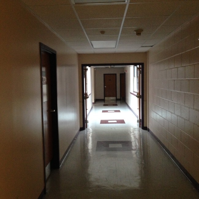
This Property Is For Sale
Property Detail
979 Dickinson St
Religious
Hampden
R1
Massachusetts
B and X Area of moderate flood hazard, usually the area between the limits of the 100-year and 500-year floods.
10.50 AC
0
Hampden County
2025
Hartford
802602
Springfield, MA
62,548 SF
SPRI-003910-000000-000362
NEARBY LISTINGS FOR SALE OR LEASE
-
-
View all Springfield listings for sale on LoopNet.com
DEMOGRAPHICS near 979 Dickinson St
1 mile
3 mile
5 mile
2025 Total Population
12,449
92,788
202,998
2030 Population
12,371
92,621
202,894
Pop Growth 2025-2030
(0.63%)
(0.18%)
(0.05%)
Average Age
41
39
40
2025 Total Households
4,738
34,803
77,116
HH Growth 2025-2030
(0.57%)
(0.19%)
(0.07%)
Median Household Inc
$77,632
$62,564
$60,642
Avg Household Size
2.50
2.50
2.50
2025 Avg HH Vehicles
2.00
1.00
1.00
Median Home Value
$292,945
$296,455
$279,915
Median Year Built
1948
1951
1954
Nearby Places
Map Layers
Map Styles
 Street
 Aerial
Layers
 Traffic
 Biking
Places
Listings with unknown addresses are not visible on the map
- Restaurants
- Banks
- Shops
- Fitness
- Groceries
PUBLIC TRANSPORTATION
COMMUTER RAIL
Springfield (Hartford Line - CONN DOT)
Drive
Walk
Distance
Springfield (Hartford Line - CONN DOT)
6 min
3.7 mi
AIRPORT
Bradley International
Drive
Walk
Distance
Bradley International
34 min
17.4 mi
Freight Ports
Port of New Haven
Drive
Walk
Distance
Port of New Haven
85 min
65.7 mi
Nearby Properties
Address
Land Use
TOTAL SIZE
Lot Size
Zoning
Address
Land Use
TOTAL SIZE
Lot Size
Zoning
44,886 SF
2.69 AC
R2
Address
Land Use
TOTAL SIZE
Lot Size
Zoning
209,471 SF
2.98 AC
SR3C1
Address
Land Use
TOTAL SIZE
Lot Size
Zoning
236,616 SF
31.07 AC
RA1
Address
Land Use
TOTAL SIZE
Lot Size
Zoning
51,808 SF
11.01 AC
SR2B1
Address
Land Use
TOTAL SIZE
Lot Size
Zoning
162,232 SF
3.06 AC
R2
Address
Land Use
TOTAL SIZE
Lot Size
Zoning
141,970 SF
4.34 AC
S
Address
Land Use
TOTAL SIZE
Lot Size
Zoning
1.89 AC
SR2I2
Address
Land Use
TOTAL SIZE
Lot Size
Zoning
36,446 SF
25 AC
R1
Address
Land Use
TOTAL SIZE
Lot Size
Zoning
82,248 SF
4.57 AC
SR3C1
Address
Land Use
TOTAL SIZE
Lot Size
Zoning
227,072 SF
4.37 AC
B3
Address
Land Use
TOTAL SIZE
Lot Size
Zoning
75,000 SF
3.10 AC
B1
Address
Land Use
TOTAL SIZE
Lot Size
Zoning
69.62 AC
MFHD
Address
Land Use
TOTAL SIZE
Lot Size
Zoning
839,347 SF
2.05 AC
B3
Address
Land Use
TOTAL SIZE
Lot Size
Zoning
105,494 SF
2.33 AC
I2
Address
Land Use
TOTAL SIZE
Lot Size
Zoning
232,510 SF
61.40 AC
RB
Address
Land Use
TOTAL SIZE
Lot Size
Zoning
100,000 SF
17.80 AC
WC
Address
Land Use
TOTAL SIZE
Lot Size
Zoning
142,872 SF
57.41 AC
INDG
Address
Land Use
TOTAL SIZE
Lot Size
Zoning
8,712 SF
25.08 AC
RA1
Address
Land Use
TOTAL SIZE
Lot Size
Zoning
42,412 SF
2.22 AC
SR2B1
Address
Land Use
TOTAL SIZE
Lot Size
Zoning
24,835 SF
2.16 AC
B3
Address
Land Use
TOTAL SIZE
Lot Size
Zoning
127,645 SF
20 AC
RC
Address
Land Use
TOTAL SIZE
Lot Size
Zoning
5,802 SF
49.19 AC
R2
Address
Land Use
TOTAL SIZE
Lot Size
Zoning
196,530 SF
19.74 AC
SR1C1
Address
Land Use
TOTAL SIZE
Lot Size
Zoning
335,105 SF
1.28 AC
B3
Address
Land Use
TOTAL SIZE
Lot Size
Zoning
9.69 AC
B
Address
Land Use
TOTAL SIZE
Lot Size
Zoning
60,620 SF
4.96 AC
SR3B1
Address
Land Use
TOTAL SIZE
Lot Size
Zoning
27,200 SF
13.22 AC
MULT
Address
Land Use
TOTAL SIZE
Lot Size
Zoning
84,605 SF
13.15 AC
RB
Address
Land Use
TOTAL SIZE
Lot Size
Zoning
4,400 SF
675 AC
SR1R2
Address
Land Use
TOTAL SIZE
Lot Size
Zoning
57,593 SF
2.15 AC
SR3C1
The World's #1 Commercial Real Estate Marketplace
Connect with us
© 2026 CoStar Group
The information above has been obtained from sources believed reliable. While we do not doubt its accuracy we have not verified it and make no guarantee, warranty or representation about it. It is your responsibility to independently confirm its accuracy and completeness. Any projections, opinions, assumptions, or estimates used are for example only and do not represent the current or future performance of the property. The value of this transaction to you depends on tax and other factors which should be evaluated by your tax, financial, and legal advisors. You and your advisors should conduct a careful, independent investigation of the property to determine to your satisfaction the suitability of the property for your needs.