Property Record
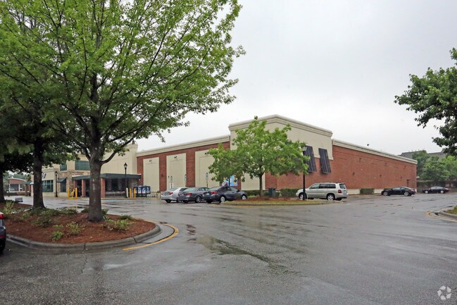
98 Cornerstone Dr, Cary, NC 27519


Property Detail
98 Cornerstone Dr
0744.03-32-9649-000
LO2 STONE CREEK VILLAGE BM2005-02282
Supermarket
WAKE
GCP
North Carolina
B and X Area of moderate flood hazard, usually the area between the limits of the 100-year and 500-year floods.
2
2025
4.70 AC
2025
Cary
053604
Raleigh/Durham
49,211 SF
Raleigh-Cary, NC
NEARBY LISTINGS FOR SALE OR LEASE
DEMOGRAPHICS near 98 Cornerstone Dr
1 mile
3 mile
5 mile
2025 Total Population
11,441
88,541
222,739
2030 Population
12,226
95,089
240,195
Pop Growth 2025-2030
+ 6.86%
+ 7.40%
+ 7.84%
Average Age
42
39
39
2025 Total Households
4,002
32,226
83,618
HH Growth 2025-2030
+ 7.32%
+ 7.78%
+ 8.23%
Median Household Inc
$183,988
$151,990
$135,744
Avg Household Size
2.80
2.70
2.60
2025 Avg HH Vehicles
2.00
2.00
2.00
Median Home Value
$707,305
$658,640
$619,578
Median Year Built
1998
2000
2002
Nearby Places
Map Layers
Map Styles
 Street
 Aerial
Layers
 Traffic
 Biking
Places
Listings with unknown addresses are not visible on the map
- Restaurants
- Banks
- Shops
- Fitness
- Groceries
PUBLIC TRANSPORTATION
COMMUTER RAIL
Cary Station (Piedmont - North Carolina by Train (NC Train))
Drive
Walk
Distance
Cary Station (Piedmont - North Carolina by Train (NC Train))
9 min
4.5 mi
AIRPORT
Raleigh-Durham International
Drive
Walk
Distance
Raleigh-Durham International
19 min
8.6 mi
SALE & LEASE HISTORY
LISTING DATE
SALE/LEASE

Jul 31, 2017
For Lease
Nearby Properties
Address
Land Use
TOTAL SIZE
Lot Size
Zoning
Address
Land Use
TOTAL SIZE
Lot Size
Zoning
517,812 SF
18.51 AC
RMFP
Address
Land Use
TOTAL SIZE
Lot Size
Zoning
534,604 SF
16.38 AC
RMFM
Address
Land Use
TOTAL SIZE
Lot Size
Zoning
318,890 SF
86.86 AC
R40
Address
Land Use
TOTAL SIZE
Lot Size
Zoning
429,107 SF
13.67 AC
RMFP
Address
Land Use
TOTAL SIZE
Lot Size
Zoning
375,689 SF
32.73 AC
HDR
Address
Land Use
TOTAL SIZE
Lot Size
Zoning
453,970 SF
41.48 AC
RMF-C
Address
Land Use
TOTAL SIZE
Lot Size
Zoning
444,236 SF
8.51 AC
ORDP
Address
Land Use
TOTAL SIZE
Lot Size
Zoning
269,702 SF
14.66 AC
GCM
Address
Land Use
TOTAL SIZE
Lot Size
Zoning
368,195 SF
32.11 AC
HDR
Address
Land Use
TOTAL SIZE
Lot Size
Zoning
408,968 SF
32.58 AC
HDR
Address
Land Use
TOTAL SIZE
Lot Size
Zoning
323,036 SF
30.09 AC
RMF-C
Address
Land Use
TOTAL SIZE
Lot Size
Zoning
263,023 SF
72.48 AC
R40
Address
Land Use
TOTAL SIZE
Lot Size
Zoning
394,181 SF
28.62 AC
HDR
Address
Land Use
TOTAL SIZE
Lot Size
Zoning
313,623 SF
23.92 AC
HD MF
Address
Land Use
TOTAL SIZE
Lot Size
Zoning
364,972 SF
35.18 AC
RMF-C
Address
Land Use
TOTAL SIZE
Lot Size
Zoning
282,961 SF
5.59 AC
GCP
Address
Land Use
TOTAL SIZE
Lot Size
Zoning
358,853 SF
16.94 AC
RMFP
Address
Land Use
TOTAL SIZE
Lot Size
Zoning
273,637 SF
19.57 AC
C-NAC
Address
Land Use
TOTAL SIZE
Lot Size
Zoning
301,891 SF
53.55 AC
R40
Address
Land Use
TOTAL SIZE
Lot Size
Zoning
294,088 SF
24.72 AC
RMF-C
Address
Land Use
TOTAL SIZE
Lot Size
Zoning
287,626 SF
14.61 AC
MUPD
Address
Land Use
TOTAL SIZE
Lot Size
Zoning
285,822 SF
24.57 AC
RMFP
Address
Land Use
TOTAL SIZE
Lot Size
Zoning
209,936 SF
55.26 AC
R8
Address
Land Use
TOTAL SIZE
Lot Size
Zoning
236,374 SF
20.53 AC
HDR
Address
Land Use
TOTAL SIZE
Lot Size
Zoning
145,001 SF
20.31 AC
PC-CZ
Address
Land Use
TOTAL SIZE
Lot Size
Zoning
191,865 SF
8.12 AC
NAC
Address
Land Use
TOTAL SIZE
Lot Size
Zoning
190,473 SF
6.46 AC
GCP
Address
Land Use
TOTAL SIZE
Lot Size
Zoning
170,284 SF
8.64 AC
OIP
Address
Land Use
TOTAL SIZE
Lot Size
Zoning
252,361 SF
10.59 AC
CAC
Address
Land Use
TOTAL SIZE
Lot Size
Zoning
198,911 SF
39.70 AC
MUPD
The World's #1 Commercial Real Estate Marketplace
Connect with us
© 2026 CoStar Group
The information above has been obtained from sources believed reliable. While we do not doubt its accuracy we have not verified it and make no guarantee, warranty or representation about it. It is your responsibility to independently confirm its accuracy and completeness. Any projections, opinions, assumptions, or estimates used are for example only and do not represent the current or future performance of the property. The value of this transaction to you depends on tax and other factors which should be evaluated by your tax, financial, and legal advisors. You and your advisors should conduct a careful, independent investigation of the property to determine to your satisfaction the suitability of the property for your needs.