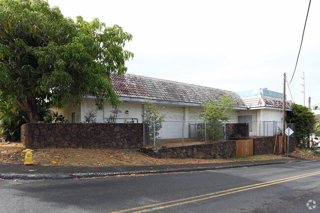
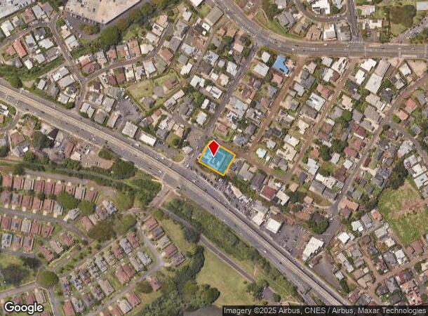
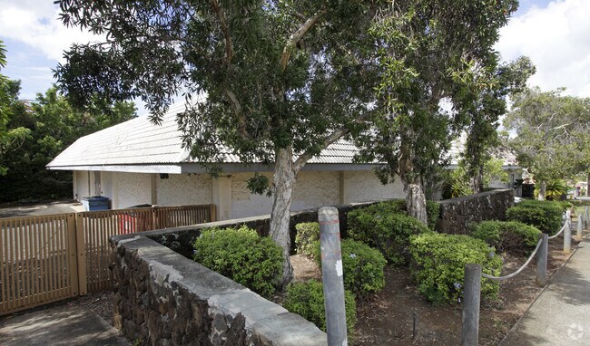
Property Record
98 Kaamilo St, Aiea, HI 96701
NEARBY LISTINGS FOR SALE OR LEASE
Property Detail
98 Kaamilo St
1-9-8-018-029-0000
Honolulu
Charitableorganization
Hawaii
X
8995
15003C0243H
0.41 AC
0
Leeward
2025
Hawaii
007701
Urban Honolulu, HI
DEMOGRAPHICS near 98 Kaamilo St
1 Mile
3 Mile
5 Mile
2024 Total Population
21,252
102,006
186,659
2029 Population
20,399
98,215
180,059
Pop Growth 2024-2029
(4.01%)
(3.72%)
(3.54%)
Average Age
42
40
40
2024 Total Households
7,331
32,315
56,184
HH Growth 2024-2029
(4.46%)
(4.45%)
(4.26%)
Median Household Inc
$83,706
$95,283
$94,824
Avg Household Size
2.70
2.80
3.00
2024 Avg HH Vehicles
2.00
2.00
2.00
Median Home Value
$591,575
$714,876
$711,539
Median Year Built
1973
1975
1975
Nearby Places
Map Layers
Map Styles
 Street
 Aerial
- Restaurants
- Banks
- Shops
- Fitness
- Groceries
PUBLIC TRANSPORTATION
TRANSIT/SUBWAY
Kalauao Pearlridge Station (SKYLINE - DTS)
DRIVE
WALK
Distance
Kalauao Pearlridge Station (SKYLINE - DTS)
1 min
14 min
0.8 mi
Halawa Aloha Stadium Station (SKYLINE - DTS)
DRIVE
WALK
Distance
Halawa Aloha Stadium Station (SKYLINE - DTS)
2 min
15 min
0.8 mi
AIRPORT
Daniel K Inouye International
DRIVE
WALK
Distance
Daniel K Inouye International
8 min
4.7 mi
Freight Ports
Honolulu Harbor, Oahu
DRIVE
WALK
Distance
Honolulu Harbor, Oahu
17 min
8.9 mi
Nearby Properties
Address
Land Use
TOTAL SIZE
Lot Size
Zoning
Address
Land Use
TOTAL SIZE
Lot Size
Zoning
163,285 SF
15.08 AC
R-7.5
Address
Land Use
TOTAL SIZE
Lot Size
Zoning
26,537 SF
2,470.86 AC
I-2
Address
Land Use
TOTAL SIZE
Lot Size
Zoning
435,857 SF
10.69 AC
BMX-3
Address
Land Use
TOTAL SIZE
Lot Size
Zoning
729,528 SF
6.43 AC
BMX-3
Address
Land Use
TOTAL SIZE
Lot Size
Zoning
419,067 SF
7.34 AC
BMX-3
Address
Land Use
TOTAL SIZE
Lot Size
Zoning
154,018 SF
15.24 AC
F-1
Address
Land Use
TOTAL SIZE
Lot Size
Zoning
202,766 SF
2.84 AC
BMX-3
Address
Land Use
TOTAL SIZE
Lot Size
Zoning
147,922 SF
16 AC
BMX-3
Address
Land Use
TOTAL SIZE
Lot Size
Zoning
164,921 SF
9.31 AC
BMX-3
Address
Land Use
TOTAL SIZE
Lot Size
Zoning
299,696 SF
16.26 AC
BMX-3
Address
Land Use
TOTAL SIZE
Lot Size
Zoning
362,266 SF
11.23 AC
B-2
Address
Land Use
TOTAL SIZE
Lot Size
Zoning
133,284 SF
11.74 AC
BMX-3
Address
Land Use
TOTAL SIZE
Lot Size
Zoning
180,294 SF
10.13 AC
B-2
Address
Land Use
TOTAL SIZE
Lot Size
Zoning
203,701 SF
7.14 AC
BMX-3
Address
Land Use
TOTAL SIZE
Lot Size
Zoning
151,200 SF
5.23 AC
BMX-3
Address
Land Use
TOTAL SIZE
Lot Size
Zoning
6,788 SF
13.98 AC
BMX-3
Address
Land Use
TOTAL SIZE
Lot Size
Zoning
59,018 SF
2.76 AC
I-2
Address
Land Use
TOTAL SIZE
Lot Size
Zoning
305,962 SF
7.48 AC
B-1
Address
Land Use
TOTAL SIZE
Lot Size
Zoning
15.25 AC
I-2
Address
Land Use
TOTAL SIZE
Lot Size
Zoning
256,238 SF
13.64 AC
I-2
Address
Land Use
TOTAL SIZE
Lot Size
Zoning
26,734 SF
10.66 AC
I-2
Address
Land Use
TOTAL SIZE
Lot Size
Zoning
185,586 SF
3.59 AC
BMX-3
Address
Land Use
TOTAL SIZE
Lot Size
Zoning
396,295 SF
2.87 AC
B-2
Address
Land Use
TOTAL SIZE
Lot Size
Zoning
9.44 AC
IMX-1
Address
Land Use
TOTAL SIZE
Lot Size
Zoning
10.75 AC
I-2
Address
Land Use
TOTAL SIZE
Lot Size
Zoning
331,750 SF
0.61 AC
IMX-1
Address
Land Use
TOTAL SIZE
Lot Size
Zoning
307,720 SF
5.35 AC
B-2
Address
Land Use
TOTAL SIZE
Lot Size
Zoning
42,867 SF
341.96 AC
AG-2
Address
Land Use
TOTAL SIZE
Lot Size
Zoning
110,320 SF
6.50 AC
BMX-3
Address
Land Use
TOTAL SIZE
Lot Size
Zoning
115,294 SF
6.05 AC
BMX-3
The World's #1 Commercial Real Estate Marketplace
Connect with us
© 2025 CoStar Group
The information above has been obtained from sources believed reliable. While we do not doubt its accuracy we have not verified it and make no guarantee, warranty or representation about it. It is your responsibility to independently confirm its accuracy and completeness. Any projections, opinions, assumptions, or estimates used are for example only and do not represent the current or future performance of the property. The value of this transaction to you depends on tax and other factors which should be evaluated by your tax, financial, and legal advisors. You and your advisors should conduct a careful, independent investigation of the property to determine to your satisfaction the suitability of the property for your needs.