Property Record
980 E Research Dr, Palm Springs, CA 92262

Save to a Folder
{{folder.Name}}
{{folder.ListingIds.length}} Properties
{{folder.ListingIds.length}} Property
Create a New Folder
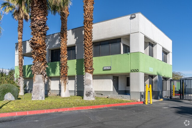
Property Detail
980 E Research Dr
507-350-036
2.12 ACRES IN PARS 6 & 7 PM 058/089 PM 8779
Publicstorage
RIVERSIDE
M1P
California
B and X Area of moderate flood hazard, usually the area between the limits of the 100-year and 500-year floods.
6,7
2025
2.12 AC
2026
Coachella Valley
044602
Inland Empire (California)
14,123 SF
Riverside-San Bernardino-Ontario, CA
NEARBY LISTINGS FOR SALE OR LEASE
-
-
View all Palm Springs listings for sale on LoopNet.com
DEMOGRAPHICS near 980 E Research Dr
1 mile
3 mile
5 mile
2025 Total Population
7,897
70,644
119,081
2030 Population
8,481
76,101
127,391
Pop Growth 2025-2030
+ 7.40%
+ 7.72%
+ 6.98%
Average Age
52
49
48
2025 Total Households
4,094
33,931
53,765
HH Growth 2025-2030
+ 7.23%
+ 7.98%
+ 7.54%
Median Household Inc
$74,931
$75,899
$74,061
Avg Household Size
1.80
2.00
2.10
2025 Avg HH Vehicles
2.00
2.00
2.00
Median Home Value
$762,142
$699,423
$654,902
Median Year Built
1974
1982
1983
Nearby Places
Map Layers
Map Styles
 Street
 Aerial
Layers
 Traffic
 Biking
Places
Listings with unknown addresses are not visible on the map
- Restaurants
- Banks
- Shops
- Fitness
- Groceries
PUBLIC TRANSPORTATION
COMMUTER RAIL
Palm Springs Amtrak (Sunset Limited - Amtrak, Texas Eagle - Amtrak)
Drive
Walk
Distance
Palm Springs Amtrak (Sunset Limited - Amtrak, Texas Eagle - Amtrak)
12 min
5.9 mi
AIRPORT
Palm Springs International
Drive
Walk
Distance
Palm Springs International
6 min
2.5 mi
Freight Ports
Port of San Diego
Drive
Walk
Distance
Port of San Diego
154 min
126.0 mi
Nearby Properties
Address
Land Use
TOTAL SIZE
Lot Size
Zoning
Address
Land Use
TOTAL SIZE
Lot Size
Zoning
258,547 SF
3.84 AC
Address
Land Use
TOTAL SIZE
Lot Size
Zoning
485,000 SF
14.71 AC
Address
Land Use
TOTAL SIZE
Lot Size
Zoning
97,065 SF
4.64 AC
R3
Address
Land Use
TOTAL SIZE
Lot Size
Zoning
197,439 SF
8.76 AC
Address
Land Use
TOTAL SIZE
Lot Size
Zoning
445,755 SF
16.21 AC
R3
Address
Land Use
TOTAL SIZE
Lot Size
Zoning
332,356 SF
9.05 AC
Address
Land Use
TOTAL SIZE
Lot Size
Zoning
35,188 SF
5.98 AC
R3
Address
Land Use
TOTAL SIZE
Lot Size
Zoning
148,746 SF
6.21 AC
R3
Address
Land Use
TOTAL SIZE
Lot Size
Zoning
225,833 SF
22 AC
Address
Land Use
TOTAL SIZE
Lot Size
Zoning
207,931 SF
6.34 AC
C1AA
Address
Land Use
TOTAL SIZE
Lot Size
Zoning
129,852 SF
11.17 AC
Address
Land Use
TOTAL SIZE
Lot Size
Zoning
5,509 SF
10.06 AC
PCC
Address
Land Use
TOTAL SIZE
Lot Size
Zoning
120,754 SF
14.30 AC
Address
Land Use
TOTAL SIZE
Lot Size
Zoning
120,548 SF
4.63 AC
Address
Land Use
TOTAL SIZE
Lot Size
Zoning
3.20 AC
GR5
Address
Land Use
TOTAL SIZE
Lot Size
Zoning
48,958 SF
0.96 AC
Address
Land Use
TOTAL SIZE
Lot Size
Zoning
70,670 SF
3.90 AC
R4
Address
Land Use
TOTAL SIZE
Lot Size
Zoning
147,744 SF
3.62 AC
Address
Land Use
TOTAL SIZE
Lot Size
Zoning
31,488 SF
3.40 AC
A
Address
Land Use
TOTAL SIZE
Lot Size
Zoning
28,506 SF
2.30 AC
R3
Address
Land Use
TOTAL SIZE
Lot Size
Zoning
56,129 SF
2.76 AC
R3
Address
Land Use
TOTAL SIZE
Lot Size
Zoning
233,083 SF
2.20 AC
Address
Land Use
TOTAL SIZE
Lot Size
Zoning
126,869 SF
6.53 AC
Address
Land Use
TOTAL SIZE
Lot Size
Zoning
133,920 SF
8.26 AC
R1
Address
Land Use
TOTAL SIZE
Lot Size
Zoning
114,044 SF
5.40 AC
R3
Address
Land Use
TOTAL SIZE
Lot Size
Zoning
109,231 SF
5.57 AC
R4
Address
Land Use
TOTAL SIZE
Lot Size
Zoning
86,810 SF
3.60 AC
R4VP
Address
Land Use
TOTAL SIZE
Lot Size
Zoning
103,526 SF
11.40 AC
Address
Land Use
TOTAL SIZE
Lot Size
Zoning
51,852 SF
4.04 AC
Address
Land Use
TOTAL SIZE
Lot Size
Zoning
238,554 SF
13.31 AC
R1
The World's #1 Commercial Real Estate Marketplace
Connect with us
© 2026 CoStar Group
The information above has been obtained from sources believed reliable. While we do not doubt its accuracy we have not verified it and make no guarantee, warranty or representation about it. It is your responsibility to independently confirm its accuracy and completeness. Any projections, opinions, assumptions, or estimates used are for example only and do not represent the current or future performance of the property. The value of this transaction to you depends on tax and other factors which should be evaluated by your tax, financial, and legal advisors. You and your advisors should conduct a careful, independent investigation of the property to determine to your satisfaction the suitability of the property for your needs.