Property Record
9810 Navarre Pky, Navarre, FL 32566


NEARBY LISTINGS FOR SALE OR LEASE
Property Detail
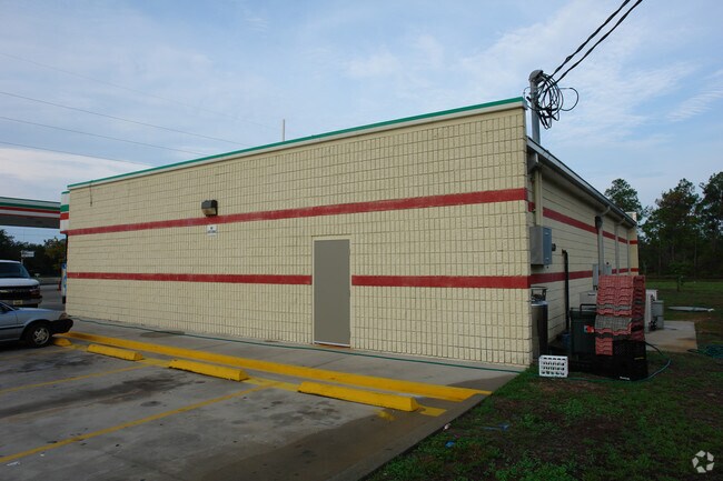
9810 Navarre Pky
13-2S-26-0000-00116-0000
*DESCRIPTION UPDATE FOR 2023* COM AT SW CORN OF LOT 3 BLK A ORION LAKE SUB THN S0*2706W 1246.95 FT TO N R/W OF HWY 98 & POB THN S89*5754E ON N R/W 300.22 FT TO W R/W OF ORION PARKER BLVD THN N0*2806E ON R/W 250 FT THN N89*5754W 300 .29 FT THN S0*2706
Storemultistory
Santa Rosa
X
Florida
12113C0591H
3
2024
1.72 AC
2025
Navarre
010828
Pensacola
10,992 SF
Pensacola-Ferry Pass-Brent, FL
DEMOGRAPHICS near 9810 Navarre Pky
1 Mile
3 Mile
5 Mile
2024 Total Population
5,590
15,782
32,203
2029 Population
6,382
17,875
36,605
Pop Growth 2024-2029
+ 14.17%
+ 13.26%
+ 13.67%
Average Age
39
38
39
2024 Total Households
2,111
5,870
12,308
HH Growth 2024-2029
+ 14.45%
+ 13.41%
+ 14.10%
Median Household Inc
$101,568
$93,243
$88,749
Avg Household Size
2.60
2.60
2.60
2024 Avg HH Vehicles
2.00
2.00
2.00
Median Home Value
$267,721
$284,675
$290,190
Median Year Built
1994
1995
1996
Nearby Places
Map Layers
Map Styles
 Street
 Aerial
- Restaurants
- Banks
- Shops
- Fitness
- Groceries
PUBLIC TRANSPORTATION
AIRPORT
Eglin AFB/Destin-Ft Walton Beach
DRIVE
WALK
Distance
Eglin AFB/Destin-Ft Walton Beach
46 min
23.1 mi
Pensacola International
DRIVE
WALK
Distance
Pensacola International
58 min
32.9 mi
Nearby Properties
Address
Land Use
TOTAL SIZE
Lot Size
Zoning
Address
Land Use
TOTAL SIZE
Lot Size
Zoning
244,004 SF
10.54 AC
HCD
Address
Land Use
TOTAL SIZE
Lot Size
Zoning
467.86 AC
Address
Land Use
TOTAL SIZE
Lot Size
Zoning
110,921 SF
9.65 AC
HCD
Address
Land Use
TOTAL SIZE
Lot Size
Zoning
82,582 SF
9.53 AC
HCD
Address
Land Use
TOTAL SIZE
Lot Size
Zoning
248,857 SF
22.80 AC
PBD
Address
Land Use
TOTAL SIZE
Lot Size
Zoning
106,696 SF
15.59 AC
HCD
Address
Land Use
TOTAL SIZE
Lot Size
Zoning
7,800 SF
7.68 AC
R2
Address
Land Use
TOTAL SIZE
Lot Size
Zoning
77,417 SF
8.06 AC
HCD
Address
Land Use
TOTAL SIZE
Lot Size
Zoning
82,746 SF
5.43 AC
Address
Land Use
TOTAL SIZE
Lot Size
Zoning
1,854 SF
45.75 AC
Address
Land Use
TOTAL SIZE
Lot Size
Zoning
97,214 SF
2.79 AC
HCD
Address
Land Use
TOTAL SIZE
Lot Size
Zoning
56,682 SF
5.80 AC
Address
Land Use
TOTAL SIZE
Lot Size
Zoning
48,055 SF
9.12 AC
HCD
Address
Land Use
TOTAL SIZE
Lot Size
Zoning
4,655 SF
28.65 AC
HCD
Address
Land Use
TOTAL SIZE
Lot Size
Zoning
21,567 SF
5.56 AC
HCD
Address
Land Use
TOTAL SIZE
Lot Size
Zoning
4,975 SF
6.03 AC
HCD
Address
Land Use
TOTAL SIZE
Lot Size
Zoning
45,672 SF
2.47 AC
PUD
Address
Land Use
TOTAL SIZE
Lot Size
Zoning
37,436 SF
4.79 AC
R3
Address
Land Use
TOTAL SIZE
Lot Size
Zoning
40,544 SF
2.26 AC
HCD
Address
Land Use
TOTAL SIZE
Lot Size
Zoning
24,025 SF
2.66 AC
HCD
Address
Land Use
TOTAL SIZE
Lot Size
Zoning
38,588 SF
4.82 AC
HCD
Address
Land Use
TOTAL SIZE
Lot Size
Zoning
32,808 SF
9.37 AC
HCD
Address
Land Use
TOTAL SIZE
Lot Size
Zoning
320.35 AC
Address
Land Use
TOTAL SIZE
Lot Size
Zoning
13,502 SF
2.76 AC
HCD
Address
Land Use
TOTAL SIZE
Lot Size
Zoning
18,922 SF
3.10 AC
HCD
Address
Land Use
TOTAL SIZE
Lot Size
Zoning
4,432 SF
3.43 AC
HCD
Address
Land Use
TOTAL SIZE
Lot Size
Zoning
7.60 AC
HCD
Address
Land Use
TOTAL SIZE
Lot Size
Zoning
39,575 SF
2.65 AC
Address
Land Use
TOTAL SIZE
Lot Size
Zoning
30,386 SF
5.68 AC
HCD
Address
Land Use
TOTAL SIZE
Lot Size
Zoning
10,781 SF
1.43 AC
HCD
The World's #1 Commercial Real Estate Marketplace
Connect with us
© 2025 CoStar Group
The information above has been obtained from sources believed reliable. While we do not doubt its accuracy we have not verified it and make no guarantee, warranty or representation about it. It is your responsibility to independently confirm its accuracy and completeness. Any projections, opinions, assumptions, or estimates used are for example only and do not represent the current or future performance of the property. The value of this transaction to you depends on tax and other factors which should be evaluated by your tax, financial, and legal advisors. You and your advisors should conduct a careful, independent investigation of the property to determine to your satisfaction the suitability of the property for your needs.