Property Record
985 Horneytown Rd, High Point, NC 27265

Save to a Folder
{{folder.Name}}
{{folder.ListingIds.length}} Properties
{{folder.ListingIds.length}} Property
Create a New Folder
Property Detail
985 Horneytown Rd
01-007-0-000-0065-0-0-0
PB87-19 L65 BK2612-1105 FALLS GROVE COMMON AREA 4
Vacantlandnec
Davidson
RM5CZ
North Carolina
AE The base floodplain where base flood elevations are provided. AE Zones are now used on new format FIRMs instead of A1-A30 Zones.
12.44 AC
0
North Davidson County
2025
Greensboro/Winston-Salem
060101
Winston-Salem, NC
NEARBY LISTINGS FOR SALE OR LEASE
DEMOGRAPHICS near 985 Horneytown Rd
1 mile
3 mile
5 mile
2025 Total Population
5,010
29,344
87,091
2030 Population
5,198
30,292
90,364
Pop Growth 2025-2030
+ 3.75%
+ 3.23%
+ 3.76%
Average Age
37
42
40
2025 Total Households
2,125
12,567
33,718
HH Growth 2025-2030
+ 3.91%
+ 3.33%
+ 4.02%
Median Household Inc
$62,915
$68,957
$65,011
Avg Household Size
2.40
2.30
2.40
2025 Avg HH Vehicles
2.00
2.00
2.00
Median Home Value
$253,396
$265,690
$265,298
Median Year Built
2004
1984
1982
Nearby Places
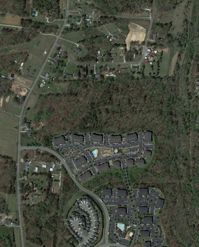
Map Layers
Map Styles
 Street
 Aerial
Layers
 Traffic
 Biking
Places
Listings with unknown addresses are not visible on the map
- Restaurants
- Banks
- Shops
- Fitness
- Groceries
PUBLIC TRANSPORTATION
COMMUTER RAIL
High Point Station (Piedmont - North Carolina by Train (NC Train))
Drive
Walk
Distance
High Point Station (Piedmont - North Carolina by Train (NC Train))
12 min
5.9 mi
AIRPORT
Piedmont Triad International
Drive
Walk
Distance
Piedmont Triad International
29 min
15.4 mi
Freight Ports
Port of Wilmington
Drive
Walk
Distance
Port of Wilmington
259 min
219.9 mi
SALE & LEASE HISTORY
LISTING DATE
SALE/LEASE

Sep 18, 2018
For Sale
Nearby Properties
Address
Land Use
TOTAL SIZE
Lot Size
Zoning
Address
Land Use
TOTAL SIZE
Lot Size
Zoning
1,045,775 SF
114.96 AC
CZ-LI-HP
Address
Land Use
TOTAL SIZE
Lot Size
Zoning
25,648 SF
40.16 AC
PDR
Address
Land Use
TOTAL SIZE
Lot Size
Zoning
215,222 SF
15.14 AC
RC
Address
Land Use
TOTAL SIZE
Lot Size
Zoning
170,183 SF
13.94 AC
RM-16
Address
Land Use
TOTAL SIZE
Lot Size
Zoning
166,196 SF
19.99 AC
RM-16
Address
Land Use
TOTAL SIZE
Lot Size
Zoning
56,029 SF
9.36 AC
CU-GB
Address
Land Use
TOTAL SIZE
Lot Size
Zoning
161,377 SF
16.36 AC
CU-SC
Address
Land Use
TOTAL SIZE
Lot Size
Zoning
244,197 SF
14.76 AC
RM-26
Address
Land Use
TOTAL SIZE
Lot Size
Zoning
132,012 SF
12.99 AC
RM-16
Address
Land Use
TOTAL SIZE
Lot Size
Zoning
184,724 SF
15.71 AC
RM-16
Address
Land Use
TOTAL SIZE
Lot Size
Zoning
125,037 SF
13.89 AC
CU-GO-M
Address
Land Use
TOTAL SIZE
Lot Size
Zoning
28,210 SF
49.32 AC
RS
Address
Land Use
TOTAL SIZE
Lot Size
Zoning
67,497 SF
5.95 AC
RC
Address
Land Use
TOTAL SIZE
Lot Size
Zoning
110,750 SF
11.36 AC
GB
Address
Land Use
TOTAL SIZE
Lot Size
Zoning
99,064 SF
10 AC
RM-16
Address
Land Use
TOTAL SIZE
Lot Size
Zoning
119,536 SF
16.35 AC
RM-16
Address
Land Use
TOTAL SIZE
Lot Size
Zoning
49,972 SF
5.84 AC
GB
Address
Land Use
TOTAL SIZE
Lot Size
Zoning
79,700 SF
5.71 AC
CB
Address
Land Use
TOTAL SIZE
Lot Size
Zoning
74,954 SF
8.50 AC
RC
Address
Land Use
TOTAL SIZE
Lot Size
Zoning
62,686 SF
5.38 AC
GB
Address
Land Use
TOTAL SIZE
Lot Size
Zoning
96,693 SF
19.09 AC
PNR
Address
Land Use
TOTAL SIZE
Lot Size
Zoning
92,304 SF
10.57 AC
RM-16
Address
Land Use
TOTAL SIZE
Lot Size
Zoning
46,966 SF
7.15 AC
RC
Address
Land Use
TOTAL SIZE
Lot Size
Zoning
55,029 SF
6.81 AC
GB
Address
Land Use
TOTAL SIZE
Lot Size
Zoning
14,426 SF
1.85 AC
MS
Address
Land Use
TOTAL SIZE
Lot Size
Zoning
28,366 SF
5.77 AC
RM16
Address
Land Use
TOTAL SIZE
Lot Size
Zoning
62,073 SF
4.17 AC
GB
Address
Land Use
TOTAL SIZE
Lot Size
Zoning
55,510 SF
17.10 AC
R-3
Address
Land Use
TOTAL SIZE
Lot Size
Zoning
2,060 SF
10.95 AC
RM16
Address
Land Use
TOTAL SIZE
Lot Size
Zoning
40,702 SF
6.14 AC
R-3
The World's #1 Commercial Real Estate Marketplace
Connect with us
© 2026 CoStar Group
The information above has been obtained from sources believed reliable. While we do not doubt its accuracy we have not verified it and make no guarantee, warranty or representation about it. It is your responsibility to independently confirm its accuracy and completeness. Any projections, opinions, assumptions, or estimates used are for example only and do not represent the current or future performance of the property. The value of this transaction to you depends on tax and other factors which should be evaluated by your tax, financial, and legal advisors. You and your advisors should conduct a careful, independent investigation of the property to determine to your satisfaction the suitability of the property for your needs.