Property Record
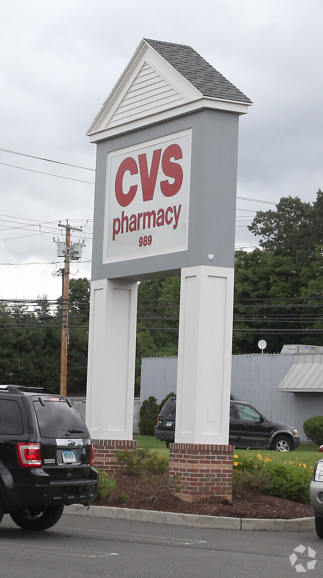
989 Boston Post Rd, Milford, CT 06460


Property Detail
989 Boston Post Rd
MILF-000077-000825-000060
South Central Ct
Commercialbuilding
Connecticut
CDD1
60
B and X Area of moderate flood hazard, usually the area between the limits of the 100-year and 500-year floods.
1.96 AC
2025
Milford
2025
Westchester/So Connecticut
150100
New Haven, CT
12,109 SF
NEARBY LISTINGS FOR SALE OR LEASE
DEMOGRAPHICS near 989 Boston Post Rd
1 mile
3 mile
5 mile
2025 Total Population
6,769
46,781
115,058
2030 Population
6,901
47,724
117,896
Pop Growth 2025-2030
+ 1.95%
+ 2.02%
+ 2.47%
Average Age
44
45
45
2025 Total Households
2,811
19,941
47,387
HH Growth 2025-2030
+ 1.89%
+ 2.03%
+ 2.53%
Median Household Inc
$112,009
$104,584
$107,616
Avg Household Size
2.30
2.30
2.40
2025 Avg HH Vehicles
2.00
2.00
2.00
Median Home Value
$440,583
$428,253
$398,246
Median Year Built
1965
1967
1965
Nearby Places
Map Layers
Map Styles
 Street
 Aerial
Layers
 Traffic
 Biking
Places
Listings with unknown addresses are not visible on the map
- Restaurants
- Banks
- Shops
- Fitness
- Groceries
PUBLIC TRANSPORTATION
COMMUTER RAIL
Milford Station (New Haven Line - Metro-North Commuter Railroad Company (Metro-North))
Drive
Walk
Distance
Milford Station (New Haven Line - Metro-North Commuter Railroad Company (Metro-North))
3 min
19 min
1.0 mi
Stratford Station (New Haven Line - Metro-North Commuter Railroad Company (Metro-North))
Drive
Walk
Distance
Stratford Station (New Haven Line - Metro-North Commuter Railroad Company (Metro-North))
10 min
6.0 mi
AIRPORT
Tweed/New Haven
Drive
Walk
Distance
Tweed/New Haven
23 min
13.2 mi
Freight Ports
Port of New Haven
Drive
Walk
Distance
Port of New Haven
18 min
10.3 mi
Nearby Properties
Address
Land Use
TOTAL SIZE
Lot Size
Zoning
Address
Land Use
TOTAL SIZE
Lot Size
Zoning
187,983 SF
254.30 AC
H-3
Address
Land Use
TOTAL SIZE
Lot Size
Zoning
74.86 AC
SCD
Address
Land Use
TOTAL SIZE
Lot Size
Zoning
9.05 AC
MCDD
Address
Land Use
TOTAL SIZE
Lot Size
Zoning
35.05 AC
LI-2
Address
Land Use
TOTAL SIZE
Lot Size
Zoning
1,628 SF
22.65 AC
OSAH
Address
Land Use
TOTAL SIZE
Lot Size
Zoning
34.40 AC
SCD
Address
Land Use
TOTAL SIZE
Lot Size
Zoning
28.30 AC
HDD
Address
Land Use
TOTAL SIZE
Lot Size
Zoning
214,516 SF
35.88 AC
RA
Address
Land Use
TOTAL SIZE
Lot Size
Zoning
287.63 AC
OS
Address
Land Use
TOTAL SIZE
Lot Size
Zoning
125,676 SF
22.12 AC
BOP
Address
Land Use
TOTAL SIZE
Lot Size
Zoning
1,110 SF
6.76 AC
CDD1
Address
Land Use
TOTAL SIZE
Lot Size
Zoning
3,864 SF
26.06 AC
DO25
Address
Land Use
TOTAL SIZE
Lot Size
Zoning
104,284 SF
13.36 AC
CDD5
Address
Land Use
TOTAL SIZE
Lot Size
Zoning
31.70 AC
R30
Address
Land Use
TOTAL SIZE
Lot Size
Zoning
26,736 SF
10.86 AC
CDD1
Address
Land Use
TOTAL SIZE
Lot Size
Zoning
745,516 SF
32.74 AC
HDD
Address
Land Use
TOTAL SIZE
Lot Size
Zoning
145,145 SF
22.60 AC
MCDD
Address
Land Use
TOTAL SIZE
Lot Size
Zoning
181,277 SF
4.58 AC
CDD5
Address
Land Use
TOTAL SIZE
Lot Size
Zoning
160,957 SF
26.40 AC
R12.
Address
Land Use
TOTAL SIZE
Lot Size
Zoning
2.91 AC
MCDD
Address
Land Use
TOTAL SIZE
Lot Size
Zoning
7.54 AC
CDD5
Address
Land Use
TOTAL SIZE
Lot Size
Zoning
18.14 AC
ID
Address
Land Use
TOTAL SIZE
Lot Size
Zoning
15.51 AC
C-2
Address
Land Use
TOTAL SIZE
Lot Size
Zoning
138,970 SF
14.34 AC
CDD5
Address
Land Use
TOTAL SIZE
Lot Size
Zoning
14,183 SF
16.40 AC
R18
Address
Land Use
TOTAL SIZE
Lot Size
Zoning
97,527 SF
3.70 AC
LI-2
Address
Land Use
TOTAL SIZE
Lot Size
Zoning
21.50 AC
LI
Address
Land Use
TOTAL SIZE
Lot Size
Zoning
2.29 AC
MCDD
Address
Land Use
TOTAL SIZE
Lot Size
Zoning
29.18 AC
MCDD
Address
Land Use
TOTAL SIZE
Lot Size
Zoning
138,255 SF
15.29 AC
ID
The World's #1 Commercial Real Estate Marketplace
Connect with us
© 2026 CoStar Group
The information above has been obtained from sources believed reliable. While we do not doubt its accuracy we have not verified it and make no guarantee, warranty or representation about it. It is your responsibility to independently confirm its accuracy and completeness. Any projections, opinions, assumptions, or estimates used are for example only and do not represent the current or future performance of the property. The value of this transaction to you depends on tax and other factors which should be evaluated by your tax, financial, and legal advisors. You and your advisors should conduct a careful, independent investigation of the property to determine to your satisfaction the suitability of the property for your needs.