Property Record
9900 Route 83, Lemont, IL 60439


Property Detail
9900 Route 83
Chicago-Naperville-Elgin, IL-IN
ASSMT DIV S 1/2 SECS 1 & 2 ALL SECS 11 & 12 37 11 ETC ALL LOT 53 S OF RR
10-11-302-001
DUPAGE
Commercialnec
Illinois
C
53
AE The base floodplain where base flood elevations are provided. AE Zones are now used on new format FIRMs instead of A1-A30 Zones.
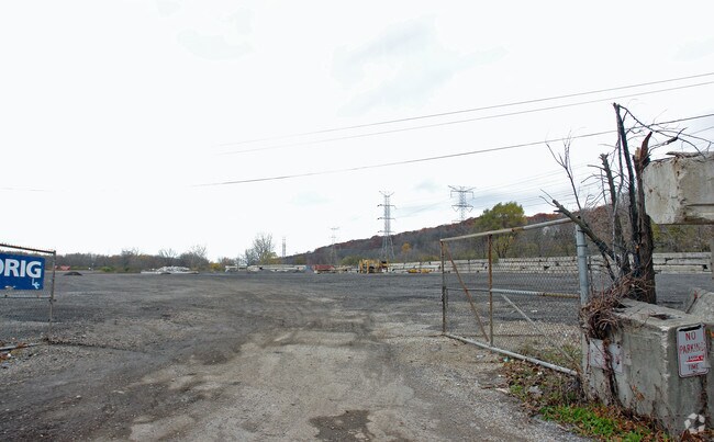
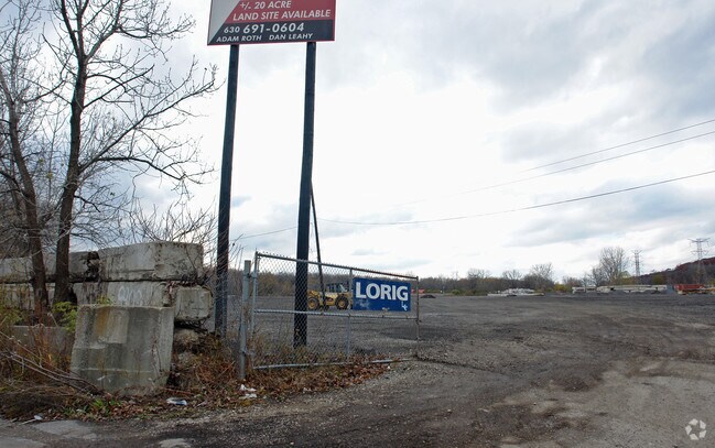
22.03 AC
2024
Joliet/Central Will
2024
Chicago
824004
NEARBY LISTINGS FOR SALE OR LEASE
DEMOGRAPHICS near 9900 Route 83
1 mile
3 mile
5 mile
2025 Total Population
1,767
25,758
109,793
2030 Population
1,852
26,426
111,919
Pop Growth 2025-2030
+ 4.81%
+ 2.59%
+ 1.94%
Average Age
40
44
44
2025 Total Households
724
9,973
42,399
HH Growth 2025-2030
+ 4.83%
+ 2.52%
+ 1.82%
Median Household Inc
$80,903
$104,174
$111,058
Avg Household Size
2.40
2.50
2.50
2025 Avg HH Vehicles
2.00
2.00
2.00
Median Home Value
$325,000
$470,115
$430,866
Median Year Built
1981
1980
1981
Nearby Places
Map Layers
Map Styles
 Street
 Aerial
Layers
 Traffic
 Biking
Places
Listings with unknown addresses are not visible on the map
- Restaurants
- Banks
- Shops
- Fitness
- Groceries
PUBLIC TRANSPORTATION
COMMUTER RAIL
Willow Springs Station (Heritage Corridor Line - Northeast Illinois Regional Commuter Railroad (Metra))
Drive
Walk
Distance
Willow Springs Station (Heritage Corridor Line - Northeast Illinois Regional Commuter Railroad (Metra))
7 min
4.7 mi
Lemont Station (Heritage Corridor Line - Northeast Illinois Regional Commuter Railroad (Metra))
Drive
Walk
Distance
Lemont Station (Heritage Corridor Line - Northeast Illinois Regional Commuter Railroad (Metra))
10 min
5.3 mi
AIRPORT
Chicago Midway International
Drive
Walk
Distance
Chicago Midway International
20 min
13.9 mi
Chicago O'Hare International
Drive
Walk
Distance
Chicago O'Hare International
37 min
25.3 mi
Freight Ports
Port Milwaukee
Drive
Walk
Distance
Port Milwaukee
118 min
97.0 mi
Nearby Properties
Address
Land Use
TOTAL SIZE
Lot Size
Zoning
Address
Land Use
TOTAL SIZE
Lot Size
Zoning
204,824 SF
15.05 AC
Address
Land Use
TOTAL SIZE
Lot Size
Zoning
215,631 SF
23.94 AC
I
Address
Land Use
TOTAL SIZE
Lot Size
Zoning
128,283 SF
6.89 AC
C
Address
Land Use
TOTAL SIZE
Lot Size
Zoning
52,887 SF
4.64 AC
C
Address
Land Use
TOTAL SIZE
Lot Size
Zoning
144,840 SF
3.42 AC
Address
Land Use
TOTAL SIZE
Lot Size
Zoning
153,000 SF
10.26 AC
Address
Land Use
TOTAL SIZE
Lot Size
Zoning
76,701 SF
5.02 AC
C
Address
Land Use
TOTAL SIZE
Lot Size
Zoning
97,113 SF
44.53 AC
Address
Land Use
TOTAL SIZE
Lot Size
Zoning
47,192 SF
3.38 AC
Address
Land Use
TOTAL SIZE
Lot Size
Zoning
54,000 SF
5.22 AC
I
Address
Land Use
TOTAL SIZE
Lot Size
Zoning
58,756 SF
6.37 AC
C
Address
Land Use
TOTAL SIZE
Lot Size
Zoning
15.21 AC
Address
Land Use
TOTAL SIZE
Lot Size
Zoning
111,038 SF
3.44 AC
N
Address
Land Use
TOTAL SIZE
Lot Size
Zoning
64,300 SF
2.36 AC
C
Address
Land Use
TOTAL SIZE
Lot Size
Zoning
32,044 SF
4.98 AC
C
Address
Land Use
TOTAL SIZE
Lot Size
Zoning
42,219 SF
3.66 AC
Address
Land Use
TOTAL SIZE
Lot Size
Zoning
77,924 SF
4.01 AC
N
Address
Land Use
TOTAL SIZE
Lot Size
Zoning
80,661 SF
5.24 AC
I
Address
Land Use
TOTAL SIZE
Lot Size
Zoning
33,752 SF
6.51 AC
C
Address
Land Use
TOTAL SIZE
Lot Size
Zoning
87,485 SF
4.04 AC
I
Address
Land Use
TOTAL SIZE
Lot Size
Zoning
47,381 SF
2.98 AC
I
Address
Land Use
TOTAL SIZE
Lot Size
Zoning
8.24 AC
Address
Land Use
TOTAL SIZE
Lot Size
Zoning
53,040 SF
3.24 AC
I
Address
Land Use
TOTAL SIZE
Lot Size
Zoning
43,529 SF
2.28 AC
C
Address
Land Use
TOTAL SIZE
Lot Size
Zoning
20,068 SF
24.55 AC
Address
Land Use
TOTAL SIZE
Lot Size
Zoning
42,834 SF
3.07 AC
Address
Land Use
TOTAL SIZE
Lot Size
Zoning
47,694 SF
3.17 AC
I
Address
Land Use
TOTAL SIZE
Lot Size
Zoning
39,234 SF
1.86 AC
C
Address
Land Use
TOTAL SIZE
Lot Size
Zoning
54,165 SF
0.65 AC
N
Address
Land Use
TOTAL SIZE
Lot Size
Zoning
77,297 SF
1.87 AC
C
The World's #1 Commercial Real Estate Marketplace
Connect with us
© 2026 CoStar Group
The information above has been obtained from sources believed reliable. While we do not doubt its accuracy we have not verified it and make no guarantee, warranty or representation about it. It is your responsibility to independently confirm its accuracy and completeness. Any projections, opinions, assumptions, or estimates used are for example only and do not represent the current or future performance of the property. The value of this transaction to you depends on tax and other factors which should be evaluated by your tax, financial, and legal advisors. You and your advisors should conduct a careful, independent investigation of the property to determine to your satisfaction the suitability of the property for your needs.