Property Record
9920 Poplar Tent Rd, Concord, NC 28027
NEARBY LISTINGS FOR SALE OR LEASE
-
-
View all Concord listings for sale on LoopNet.com
Property Detail
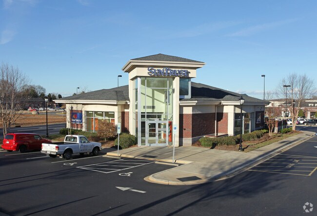
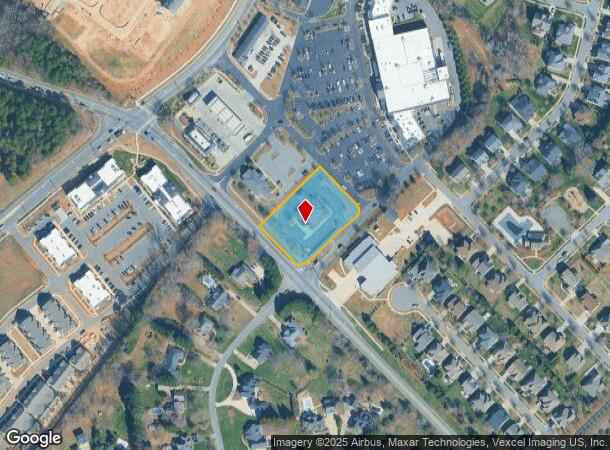
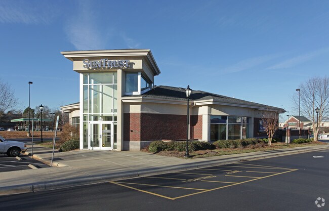
9920 Poplar Tent Rd
Charlotte-Concord-Gastonia, NC-SC
West Cabarrus
4681-01-4499-0000
LT 6 CANNON CROSSRDS SHOP CTR
Financialbuilding
Cabarrus
X
North Carolina
3710468100K
6
2025
1.18 AC
2025
Cabarrus County
041305
Charlotte
5,149 SF
DEMOGRAPHICS near 9920 Poplar Tent Rd
1 Mile
3 Mile
5 Mile
2024 Total Population
5,683
39,563
100,390
2029 Population
6,389
43,844
110,214
Pop Growth 2024-2029
+ 12.42%
+ 10.82%
+ 9.79%
Average Age
34
36
37
2024 Total Households
1,720
12,893
35,996
HH Growth 2024-2029
+ 11.05%
+ 9.57%
+ 9.02%
Median Household Inc
$133,695
$126,343
$101,872
Avg Household Size
3.30
3.00
2.80
2024 Avg HH Vehicles
2.00
2.00
2.00
Median Home Value
$377,465
$375,505
$353,095
Median Year Built
2009
2006
2005
Nearby Places
Map Layers
Map Styles
 Street
 Aerial
- Restaurants
- Banks
- Shops
- Fitness
- Groceries
PUBLIC TRANSPORTATION
AIRPORT
Concord-Padgett Regional
DRIVE
WALK
Distance
Concord-Padgett Regional
9 min
4.4 mi
Charlotte/Douglas International
DRIVE
WALK
Distance
Charlotte/Douglas International
39 min
26.5 mi
Freight Ports
North Charleston Terminal
DRIVE
WALK
Distance
North Charleston Terminal
250 min
220.1 mi
Nearby Properties
Address
Land Use
TOTAL SIZE
Lot Size
Zoning
Address
Land Use
TOTAL SIZE
Lot Size
Zoning
14,742 SF
587.28 AC
I-1
Address
Land Use
TOTAL SIZE
Lot Size
Zoning
146,501 SF
78.92 AC
O-I
Address
Land Use
TOTAL SIZE
Lot Size
Zoning
62,780 SF
21.89 AC
Address
Land Use
TOTAL SIZE
Lot Size
Zoning
1,866.27 AC
AO
Address
Land Use
TOTAL SIZE
Lot Size
Zoning
30,682 SF
24.33 AC
LDR
Address
Land Use
TOTAL SIZE
Lot Size
Zoning
261,701 SF
11.05 AC
R-17MF(CD)
Address
Land Use
TOTAL SIZE
Lot Size
Zoning
249,618 SF
63.24 AC
RL
Address
Land Use
TOTAL SIZE
Lot Size
Zoning
600,000 SF
27.59 AC
I-2-CD
Address
Land Use
TOTAL SIZE
Lot Size
Zoning
443,944 SF
33.24 AC
CD-I-2
Address
Land Use
TOTAL SIZE
Lot Size
Zoning
401,634 SF
40.90 AC
I-1
Address
Land Use
TOTAL SIZE
Lot Size
Zoning
411,200 SF
22.94 AC
I-2-CD
Address
Land Use
TOTAL SIZE
Lot Size
Zoning
221,640 SF
30.04 AC
R3
Address
Land Use
TOTAL SIZE
Lot Size
Zoning
140,605 SF
33.96 AC
R
Address
Land Use
TOTAL SIZE
Lot Size
Zoning
26,134 SF
98.70 AC
GC
Address
Land Use
TOTAL SIZE
Lot Size
Zoning
304,134 SF
20.06 AC
I-2-CD
Address
Land Use
TOTAL SIZE
Lot Size
Zoning
327,672 SF
51.72 AC
I-2
Address
Land Use
TOTAL SIZE
Lot Size
Zoning
96,607 SF
15.13 AC
I-1
Address
Land Use
TOTAL SIZE
Lot Size
Zoning
309,380 SF
29.20 AC
CD-I-2
Address
Land Use
TOTAL SIZE
Lot Size
Zoning
127,954 SF
62.40 AC
LDR
Address
Land Use
TOTAL SIZE
Lot Size
Zoning
247,380 SF
33.12 AC
CD-I-2
Address
Land Use
TOTAL SIZE
Lot Size
Zoning
7,812 SF
4.79 AC
PUD
Address
Land Use
TOTAL SIZE
Lot Size
Zoning
195,559 SF
23.08 AC
C-2
Address
Land Use
TOTAL SIZE
Lot Size
Zoning
60,286 SF
6.51 AC
CUI-2
Address
Land Use
TOTAL SIZE
Lot Size
Zoning
92,838 SF
26.04 AC
O-I
Address
Land Use
TOTAL SIZE
Lot Size
Zoning
250,500 SF
11.61 AC
I-2-CD
Address
Land Use
TOTAL SIZE
Lot Size
Zoning
205,716 SF
12.92 AC
CD-I-2
Address
Land Use
TOTAL SIZE
Lot Size
Zoning
184,080 SF
22.20 AC
I-1
Address
Land Use
TOTAL SIZE
Lot Size
Zoning
24,568 SF
81.59 AC
RM-1
Address
Land Use
TOTAL SIZE
Lot Size
Zoning
153,236 SF
12.78 AC
I-1
Address
Land Use
TOTAL SIZE
Lot Size
Zoning
190,682 SF
27.93 AC
CUI-1
The World's #1 Commercial Real Estate Marketplace
Connect with us
© 2026 CoStar Group
The information above has been obtained from sources believed reliable. While we do not doubt its accuracy we have not verified it and make no guarantee, warranty or representation about it. It is your responsibility to independently confirm its accuracy and completeness. Any projections, opinions, assumptions, or estimates used are for example only and do not represent the current or future performance of the property. The value of this transaction to you depends on tax and other factors which should be evaluated by your tax, financial, and legal advisors. You and your advisors should conduct a careful, independent investigation of the property to determine to your satisfaction the suitability of the property for your needs.