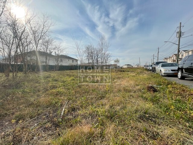
Property Record
9969 Rau Ct, Jamaica, NY 11414

NEARBY LISTINGS FOR SALE OR LEASE
Property Detail
9969 Rau Ct
New York-Jersey City-White Plains, NY-NJ
Queens
14231-1359
New York
Residentialnec
0.07 AC
AE
South Queens
3604970239F
Long Island (New York)
DEMOGRAPHICS near 9969 Rau Ct
1 Mile
3 Mile
5 Mile
2024 Total Population
12,879
310,830
1,119,494
2029 Population
11,932
282,941
1,032,399
Pop Growth 2024-2029
(7.35%)
(8.97%)
(7.78%)
Average Age
45
40
40
2024 Total Households
4,502
98,165
375,684
HH Growth 2024-2029
(7.95%)
(9.23%)
(8.01%)
Median Household Inc
$96,455
$66,306
$65,853
Avg Household Size
2.80
3.00
2.80
2024 Avg HH Vehicles
2.00
1.00
1.00
Median Home Value
$764,775
$657,986
$654,650
Median Year Built
1957
1952
1952
Nearby Places
Map Layers
Map Styles
 Street
 Aerial
- Restaurants
- Banks
- Shops
- Fitness
- Groceries
PUBLIC TRANSPORTATION
COMMUTER RAIL
Locust Manor Station (Far Rockaway Branch - Long Island Rail Road)
DRIVE
WALK
Distance
Locust Manor Station (Far Rockaway Branch - Long Island Rail Road)
14 min
5.9 mi
Jamaica Station (Babylon Branch - Long Island Rail Road, Far Rockaway Branch - Long Island Rail Road, Hempstead Branch - Long Island Rail Road, Long Beach Branch - Long Island Rail Road, Montauk Branch - Long Island Rail Road, Oyster Bay Branch - Long Island Rail Road, Port Jefferson Branch - Long Island Rail Road, Ronkonkoma Branch - Long Island Rail Road, West Hempstead Branch - Long Island Rail Road)
DRIVE
WALK
Distance
Jamaica Station (Babylon Branch - Long Island Rail Road, Far Rockaway Branch - Long Island Rail Road, Hempstead Branch - Long Island Rail Road, Long Beach Branch - Long Island Rail Road, Montauk Branch - Long Island Rail Road, Oyster Bay Branch - Long Island Rail Road, Port Jefferson Branch - Long Island Rail Road, Ronkonkoma Branch - Long Island Rail Road, West Hempstead Branch - Long Island Rail Road)
13 min
6.5 mi
AIRPORT
John F Kennedy International
DRIVE
WALK
Distance
John F Kennedy International
12 min
6.2 mi
LaGuardia
DRIVE
WALK
Distance
LaGuardia
23 min
13.0 mi
Newark Liberty International
DRIVE
WALK
Distance
Newark Liberty International
48 min
23.7 mi
Freight Ports
NY - Red Hook Container Terminal
DRIVE
WALK
Distance
NY - Red Hook Container Terminal
26 min
12.5 mi
SALE & LEASE HISTORY
LISTING DATE
SALE/LEASE

Dec 16, 2021
For Sale
Nearby Properties
Address
Land Use
TOTAL SIZE
Lot Size
Zoning
Address
Land Use
TOTAL SIZE
Lot Size
Zoning
14,417,607 SF
4,921.45 AC
M1-1
Address
Land Use
TOTAL SIZE
Lot Size
Zoning
477.04 AC
PARKUS
Address
Land Use
TOTAL SIZE
Lot Size
Zoning
1,845,252 SF
172 AC
C8-1
Address
Land Use
TOTAL SIZE
Lot Size
Zoning
5,302 SF
366.15 AC
PARK
Address
Land Use
TOTAL SIZE
Lot Size
Zoning
1,688,760 SF
24.65 AC
R5
Address
Land Use
TOTAL SIZE
Lot Size
Zoning
600 SF
33.07 AC
PARK
Address
Land Use
TOTAL SIZE
Lot Size
Zoning
24,400 SF
33.98 AC
C4-2
Address
Land Use
TOTAL SIZE
Lot Size
Zoning
1,493,793 SF
14.19 AC
R5
Address
Land Use
TOTAL SIZE
Lot Size
Zoning
1,485,000 SF
20.28 AC
R5
Address
Land Use
TOTAL SIZE
Lot Size
Zoning
1,420,000 SF
19.61 AC
R5
Address
Land Use
TOTAL SIZE
Lot Size
Zoning
363,548 SF
1.81 AC
Address
Land Use
TOTAL SIZE
Lot Size
Zoning
60.84 AC
R4
Address
Land Use
TOTAL SIZE
Lot Size
Zoning
28.64 AC
PARK
Address
Land Use
TOTAL SIZE
Lot Size
Zoning
1,136,208 SF
30.25 AC
R5
Address
Land Use
TOTAL SIZE
Lot Size
Zoning
4,761.05 AC
PARK
Address
Land Use
TOTAL SIZE
Lot Size
Zoning
997,720 SF
8.23 AC
R5
Address
Land Use
TOTAL SIZE
Lot Size
Zoning
158,402 SF
3.64 AC
C4-2
Address
Land Use
TOTAL SIZE
Lot Size
Zoning
230,580 SF
3.41 AC
C8-1
Address
Land Use
TOTAL SIZE
Lot Size
Zoning
940,800 SF
11.55 AC
R5
Address
Land Use
TOTAL SIZE
Lot Size
Zoning
203,132 SF
3.09 AC
C4-2
Address
Land Use
TOTAL SIZE
Lot Size
Zoning
208,952 SF
9.03 AC
M1-1
Address
Land Use
TOTAL SIZE
Lot Size
Zoning
29.68 AC
C4-2
Address
Land Use
TOTAL SIZE
Lot Size
Zoning
552,216 SF
9.41 AC
R4
Address
Land Use
TOTAL SIZE
Lot Size
Zoning
205,831 SF
0.78 AC
R8A
Address
Land Use
TOTAL SIZE
Lot Size
Zoning
183,070 SF
4.47 AC
M1-1
Address
Land Use
TOTAL SIZE
Lot Size
Zoning
125,836 SF
2.26 AC
R5
Address
Land Use
TOTAL SIZE
Lot Size
Zoning
279,162 SF
9.90 AC
M1-1
Address
Land Use
TOTAL SIZE
Lot Size
Zoning
142,931 SF
3.28 AC
C4-2
Address
Land Use
TOTAL SIZE
Lot Size
Zoning
709,200 SF
10.80 AC
R4
Address
Land Use
TOTAL SIZE
Lot Size
Zoning
25.97 AC
C8-1
The World's #1 Commercial Real Estate Marketplace
Connect with us
© 2026 CoStar Group
The information above has been obtained from sources believed reliable. While we do not doubt its accuracy we have not verified it and make no guarantee, warranty or representation about it. It is your responsibility to independently confirm its accuracy and completeness. Any projections, opinions, assumptions, or estimates used are for example only and do not represent the current or future performance of the property. The value of this transaction to you depends on tax and other factors which should be evaluated by your tax, financial, and legal advisors. You and your advisors should conduct a careful, independent investigation of the property to determine to your satisfaction the suitability of the property for your needs.