Property Record
99999 Echota Dr, Black Mountain, NC 28711

NEARBY LISTINGS FOR SALE OR LEASE
Property Detail
99999 Echota Dr
Asheville, NC
John Bartholomew
0618-10-4396-00000
SUBDIV: JOHN BARTHOLOMEW PLAT: 0102-0015
Forest
Buncombe
X
North Carolina
3710061800J
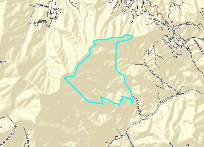
481.37 AC
0
Buncombe County
2025
Asheville
003105
DEMOGRAPHICS near 99999 Echota Dr
1 Mile
3 Mile
5 Mile
2024 Total Population
94
5,059
22,487
2029 Population
100
5,346
23,389
Pop Growth 2024-2029
+ 6.38%
+ 5.67%
+ 4.01%
Average Age
47
46
45
2024 Total Households
41
2,152
9,334
HH Growth 2024-2029
+ 7.32%
+ 5.16%
+ 3.52%
Median Household Inc
$39,999
$69,774
$65,628
Avg Household Size
2.20
2.30
2.30
2024 Avg HH Vehicles
2.00
2.00
2.00
Median Home Value
$299,999
$361,299
$318,684
Median Year Built
1985
1991
1986
Nearby Places
Map Layers
Map Styles
 Street
 Aerial
- Restaurants
- Banks
- Shops
- Fitness
- Groceries
PUBLIC TRANSPORTATION
AIRPORT
Asheville Regional
DRIVE
WALK
Distance
Asheville Regional
41 min
22.6 mi
Freight Ports
North Charleston Terminal
DRIVE
WALK
Distance
North Charleston Terminal
304 min
253.2 mi
Nearby Properties
Address
Land Use
TOTAL SIZE
Lot Size
Zoning
Address
Land Use
TOTAL SIZE
Lot Size
Zoning
810,074 SF
46.41 AC
LI-8
Address
Land Use
TOTAL SIZE
Lot Size
Zoning
771,179 SF
73.04 AC
LI-8
Address
Land Use
TOTAL SIZE
Lot Size
Zoning
31,469 SF
1,153.53 AC
CR
Address
Land Use
TOTAL SIZE
Lot Size
Zoning
32,988 SF
89.19 AC
ICD
Address
Land Use
TOTAL SIZE
Lot Size
Zoning
96,312 SF
10.79 AC
HB-8
Address
Land Use
TOTAL SIZE
Lot Size
Zoning
28,512 SF
4.22 AC
HB-8
Address
Land Use
TOTAL SIZE
Lot Size
Zoning
18,016 SF
2.61 AC
HB-8
Address
Land Use
TOTAL SIZE
Lot Size
Zoning
14,172 SF
3.17 AC
HB-8
Address
Land Use
TOTAL SIZE
Lot Size
Zoning
22,704 SF
4.85 AC
CR
Address
Land Use
TOTAL SIZE
Lot Size
Zoning
16,092 SF
1.94 AC
TND
Address
Land Use
TOTAL SIZE
Lot Size
Zoning
12,368 SF
2.12 AC
HB-8
Address
Land Use
TOTAL SIZE
Lot Size
Zoning
12,202 SF
1.29 AC
HB-8
Address
Land Use
TOTAL SIZE
Lot Size
Zoning
43,219 SF
10.74 AC
HB-8
Address
Land Use
TOTAL SIZE
Lot Size
Zoning
655.31 AC
OU
Address
Land Use
TOTAL SIZE
Lot Size
Zoning
23,242 SF
3.76 AC
HB-8
Address
Land Use
TOTAL SIZE
Lot Size
Zoning
1,110 SF
276.51 AC
OU
Address
Land Use
TOTAL SIZE
Lot Size
Zoning
9,690 SF
1.34 AC
TND
Address
Land Use
TOTAL SIZE
Lot Size
Zoning
9,672 SF
1.18 AC
HB-8
Address
Land Use
TOTAL SIZE
Lot Size
Zoning
4,989 SF
204.18 AC
OU
Address
Land Use
TOTAL SIZE
Lot Size
Zoning
6,249 SF
215.97 AC
OU
Address
Land Use
TOTAL SIZE
Lot Size
Zoning
5,394 SF
1.87 AC
HB-8
Address
Land Use
TOTAL SIZE
Lot Size
Zoning
6,492 SF
1.34 AC
HB-8
Address
Land Use
TOTAL SIZE
Lot Size
Zoning
5,806 SF
3.57 AC
HB-8
Address
Land Use
TOTAL SIZE
Lot Size
Zoning
7,858 SF
42.66 AC
OU
Address
Land Use
TOTAL SIZE
Lot Size
Zoning
53,673 SF
7.05 AC
HB-8
Address
Land Use
TOTAL SIZE
Lot Size
Zoning
11,596 SF
2.38 AC
R-2
Address
Land Use
TOTAL SIZE
Lot Size
Zoning
10,482 SF
1.28 AC
NMU-8
Address
Land Use
TOTAL SIZE
Lot Size
Zoning
9,800 SF
2.61 AC
HB-8
Address
Land Use
TOTAL SIZE
Lot Size
Zoning
8,873 SF
20.59 AC
OU
The World's #1 Commercial Real Estate Marketplace
Connect with us
© 2026 CoStar Group
The information above has been obtained from sources believed reliable. While we do not doubt its accuracy we have not verified it and make no guarantee, warranty or representation about it. It is your responsibility to independently confirm its accuracy and completeness. Any projections, opinions, assumptions, or estimates used are for example only and do not represent the current or future performance of the property. The value of this transaction to you depends on tax and other factors which should be evaluated by your tax, financial, and legal advisors. You and your advisors should conduct a careful, independent investigation of the property to determine to your satisfaction the suitability of the property for your needs.