Property Record
Andorn Ln, Kingston, NY 12401
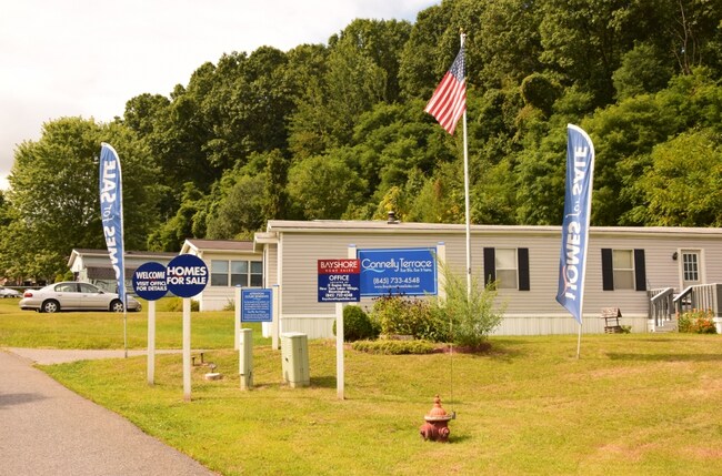
NEARBY LISTINGS FOR SALE OR LEASE
Property Detail
Andorn Ln
Kingston, NY
Ulster
2200-056.015-0001-007.000-0000
New York
Residentialacreage
1.200
X
9.30 AC
36111C0490E
Newburgh/Kingston
2025
Other Market Areas
2024
DEMOGRAPHICS near Andorn Ln
1 Mile
3 Mile
5 Mile
2024 Total Population
4,742
30,343
46,705
2029 Population
4,596
30,062
46,435
Pop Growth 2024-2029
(3.08%)
(0.93%)
(0.58%)
Average Age
44
43
44
2024 Total Households
2,137
12,821
20,088
HH Growth 2024-2029
(3.09%)
(0.97%)
(0.59%)
Median Household Inc
$64,605
$68,254
$73,554
Avg Household Size
2.10
2.20
2.10
2024 Avg HH Vehicles
2.00
2.00
2.00
Median Home Value
$233,444
$253,249
$275,575
Median Year Built
1966
1950
1956
Nearby Places
Map Layers
Map Styles
 Street
 Aerial
- Restaurants
- Banks
- Shops
- Fitness
- Groceries
PUBLIC TRANSPORTATION
AIRPORT
New York Stewart International
DRIVE
WALK
Distance
New York Stewart International
54 min
37.0 mi
Freight Ports
Albany, NY Port
DRIVE
WALK
Distance
Albany, NY Port
73 min
56.4 mi
Nearby Properties
Address
Land Use
TOTAL SIZE
Lot Size
Zoning
Address
Land Use
TOTAL SIZE
Lot Size
Zoning
21.40 AC
R-1
Address
Land Use
TOTAL SIZE
Lot Size
Zoning
1.58 AC
T5F
Address
Land Use
TOTAL SIZE
Lot Size
Zoning
240,924 SF
17 AC
SD
Address
Land Use
TOTAL SIZE
Lot Size
Zoning
181,151 SF
4.90 AC
SD
Address
Land Use
TOTAL SIZE
Lot Size
Zoning
250,613 SF
11.70 AC
SD
Address
Land Use
TOTAL SIZE
Lot Size
Zoning
71,781 SF
6.50 AC
R40
Address
Land Use
TOTAL SIZE
Lot Size
Zoning
24,321 SF
46.40 AC
T2C
Address
Land Use
TOTAL SIZE
Lot Size
Zoning
76,788 SF
0.77 AC
T5N
Address
Land Use
TOTAL SIZE
Lot Size
Zoning
16,933 SF
14.90 AC
SD
Address
Land Use
TOTAL SIZE
Lot Size
Zoning
172.24 AC
HP20
Address
Land Use
TOTAL SIZE
Lot Size
Zoning
67,180 SF
2.60 AC
T5MS
Address
Land Use
TOTAL SIZE
Lot Size
Zoning
97,636 SF
2.60 AC
T5MS
Address
Land Use
TOTAL SIZE
Lot Size
Zoning
53,605 SF
10.83 AC
T5N
Address
Land Use
TOTAL SIZE
Lot Size
Zoning
88,000 SF
6.90 AC
GC
Address
Land Use
TOTAL SIZE
Lot Size
Zoning
133,760 SF
31.25 AC
LI
Address
Land Use
TOTAL SIZE
Lot Size
Zoning
10,581 SF
37.69 AC
HP20
Address
Land Use
TOTAL SIZE
Lot Size
Zoning
8,674 SF
10.90 AC
SD
Address
Land Use
TOTAL SIZE
Lot Size
Zoning
67,566 SF
2.90 AC
T5N
Address
Land Use
TOTAL SIZE
Lot Size
Zoning
76,577 SF
1.30 AC
T5F
Address
Land Use
TOTAL SIZE
Lot Size
Zoning
4,104 SF
14.38 AC
SD
Address
Land Use
TOTAL SIZE
Lot Size
Zoning
64,597 SF
200.40 AC
R40
Address
Land Use
TOTAL SIZE
Lot Size
Zoning
28,774 SF
9.11 AC
PUD
Address
Land Use
TOTAL SIZE
Lot Size
Zoning
32,934 SF
3 AC
R40
Address
Land Use
TOTAL SIZE
Lot Size
Zoning
2,670 SF
20.90 AC
SD
Address
Land Use
TOTAL SIZE
Lot Size
Zoning
11,488 SF
10.80 AC
SD
Address
Land Use
TOTAL SIZE
Lot Size
Zoning
6,000 SF
6.40 AC
SD
Address
Land Use
TOTAL SIZE
Lot Size
Zoning
50,350 SF
3.70 AC
SD
Address
Land Use
TOTAL SIZE
Lot Size
Zoning
9,359 SF
112.03 AC
RC5
Address
Land Use
TOTAL SIZE
Lot Size
Zoning
8,400 SF
9 AC
SD
Address
Land Use
TOTAL SIZE
Lot Size
Zoning
9,167 SF
34.20 AC
HP20
The World's #1 Commercial Real Estate Marketplace
Connect with us
© 2025 CoStar Group
The information above has been obtained from sources believed reliable. While we do not doubt its accuracy we have not verified it and make no guarantee, warranty or representation about it. It is your responsibility to independently confirm its accuracy and completeness. Any projections, opinions, assumptions, or estimates used are for example only and do not represent the current or future performance of the property. The value of this transaction to you depends on tax and other factors which should be evaluated by your tax, financial, and legal advisors. You and your advisors should conduct a careful, independent investigation of the property to determine to your satisfaction the suitability of the property for your needs.