Property Record
Armour Rd, Columbus, GA 31909

Save to a Folder
{{folder.Name}}
{{folder.ListingIds.length}} Properties
{{folder.ListingIds.length}} Property
Create a New Folder
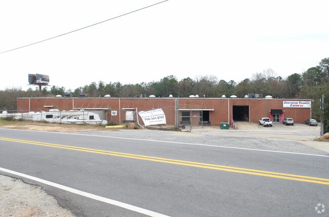
Property Detail
Armour Rd
Columbus, GA-AL
PT LL 46 8TH DISTRICT
070-020-001A
MUSCOGEE
Governmentvacantland
Georgia
B and X Area of moderate flood hazard, usually the area between the limits of the 100-year and 500-year floods.
0.26 AC
0
Greater Columbus
2025
Columbus GA
010205
NEARBY LISTINGS FOR SALE OR LEASE
DEMOGRAPHICS near Armour Rd
1 mile
3 mile
5 mile
2025 Total Population
5,207
58,875
146,605
2030 Population
4,990
56,949
142,949
Pop Growth 2025-2030
(4.17%)
(3.27%)
(2.49%)
Average Age
40
39
39
2025 Total Households
2,261
24,526
61,767
HH Growth 2025-2030
(3.89%)
(3.05%)
(2.23%)
Median Household Inc
$51,415
$53,878
$53,074
Avg Household Size
2.30
2.30
2.30
2025 Avg HH Vehicles
2.00
2.00
2.00
Median Home Value
$198,289
$213,121
$206,883
Median Year Built
1971
1973
1976
Nearby Places
Map Layers
Map Styles
 Street
 Aerial
Layers
 Traffic
 Biking
Places
Listings with unknown addresses are not visible on the map
- Restaurants
- Banks
- Shops
- Fitness
- Groceries
PUBLIC TRANSPORTATION
AIRPORT
Columbus
Drive
Walk
Distance
Columbus
11 min
5.6 mi
Freight Ports
Port of Panama City
Drive
Walk
Distance
Port of Panama City
244 min
193.2 mi
SALE & LEASE HISTORY
LISTING DATE
SALE/LEASE

Oct 13, 2016
For Sale
Apr 20, 2018
For Sale
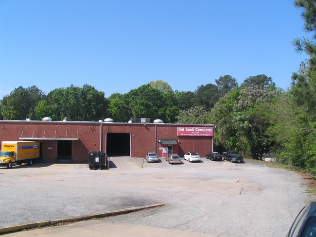
Nearby Properties
Address
Land Use
TOTAL SIZE
Lot Size
Zoning
Address
Land Use
TOTAL SIZE
Lot Size
Zoning
81,423 SF
11.54 AC
Address
Land Use
TOTAL SIZE
Lot Size
Zoning
2,744 SF
41.16 AC
Address
Land Use
TOTAL SIZE
Lot Size
Zoning
304,921 SF
75.14 AC
Address
Land Use
TOTAL SIZE
Lot Size
Zoning
174,892 SF
19.03 AC
Address
Land Use
TOTAL SIZE
Lot Size
Zoning
11,230 SF
25.05 AC
Address
Land Use
TOTAL SIZE
Lot Size
Zoning
15,330 SF
33.84 AC
Address
Land Use
TOTAL SIZE
Lot Size
Zoning
55,900 SF
27.05 AC
Address
Land Use
TOTAL SIZE
Lot Size
Zoning
9,266 SF
50.07 AC
Address
Land Use
TOTAL SIZE
Lot Size
Zoning
8,620 SF
25.15 AC
Address
Land Use
TOTAL SIZE
Lot Size
Zoning
71,337 SF
17.24 AC
Address
Land Use
TOTAL SIZE
Lot Size
Zoning
216,360 SF
17.51 AC
Address
Land Use
TOTAL SIZE
Lot Size
Zoning
14,253 SF
6.71 AC
Address
Land Use
TOTAL SIZE
Lot Size
Zoning
248,961 SF
35.15 AC
Address
Land Use
TOTAL SIZE
Lot Size
Zoning
Address
Land Use
TOTAL SIZE
Lot Size
Zoning
37,202 SF
8.03 AC
Address
Land Use
TOTAL SIZE
Lot Size
Zoning
10,683 SF
588.24 AC
Address
Land Use
TOTAL SIZE
Lot Size
Zoning
176,877 SF
26.35 AC
Address
Land Use
TOTAL SIZE
Lot Size
Zoning
4,360 SF
25.18 AC
Address
Land Use
TOTAL SIZE
Lot Size
Zoning
5,708 SF
30 AC
Address
Land Use
TOTAL SIZE
Lot Size
Zoning
Address
Land Use
TOTAL SIZE
Lot Size
Zoning
52,756 SF
11.40 AC
Address
Land Use
TOTAL SIZE
Lot Size
Zoning
3,271 SF
27.64 AC
Address
Land Use
TOTAL SIZE
Lot Size
Zoning
Address
Land Use
TOTAL SIZE
Lot Size
Zoning
4,187 SF
12.56 AC
Address
Land Use
TOTAL SIZE
Lot Size
Zoning
47,849 SF
22.26 AC
Address
Land Use
TOTAL SIZE
Lot Size
Zoning
6,254 SF
13.04 AC
Address
Land Use
TOTAL SIZE
Lot Size
Zoning
Address
Land Use
TOTAL SIZE
Lot Size
Zoning
5,859 SF
33.02 AC
Address
Land Use
TOTAL SIZE
Lot Size
Zoning
142,703 SF
28.48 AC
Address
Land Use
TOTAL SIZE
Lot Size
Zoning
The World's #1 Commercial Real Estate Marketplace
Connect with us
© 2026 CoStar Group
The information above has been obtained from sources believed reliable. While we do not doubt its accuracy we have not verified it and make no guarantee, warranty or representation about it. It is your responsibility to independently confirm its accuracy and completeness. Any projections, opinions, assumptions, or estimates used are for example only and do not represent the current or future performance of the property. The value of this transaction to you depends on tax and other factors which should be evaluated by your tax, financial, and legal advisors. You and your advisors should conduct a careful, independent investigation of the property to determine to your satisfaction the suitability of the property for your needs.