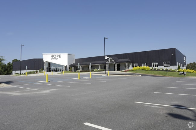
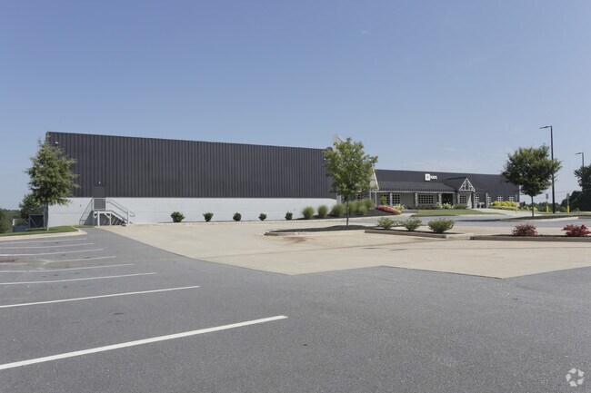
Property Record
Asheville Hwy, Inman, SC 29349
NEARBY LISTINGS FOR SALE OR LEASE
Property Detail
Asheville Hwy
2-49-00-053.03
S SIDE US HWY 176 E OF I-26 PB 139-261
Commercialacreage
Spartanburg
X
South Carolina
45083C0143D
0.95 AC
2024
Upper Spartanburg Cty
2025
Greenville/Spartanburg
022804
Spartanburg, SC
DEMOGRAPHICS near Asheville Hwy
1 Mile
3 Mile
5 Mile
2024 Total Population
4,249
27,278
71,504
2029 Population
4,815
30,955
80,930
Pop Growth 2024-2029
+ 13.32%
+ 13.48%
+ 13.18%
Average Age
37
38
38
2024 Total Households
1,575
10,174
26,495
HH Growth 2024-2029
+ 13.59%
+ 13.83%
+ 13.53%
Median Household Inc
$57,603
$63,810
$58,481
Avg Household Size
2.60
2.60
2.60
2024 Avg HH Vehicles
2.00
2.00
2.00
Median Home Value
$177,384
$196,493
$182,175
Median Year Built
1988
1997
1994
Nearby Places
Map Layers
Map Styles
 Street
 Aerial
- Restaurants
- Banks
- Shops
- Fitness
- Groceries
PUBLIC TRANSPORTATION
COMMUTER RAIL
Spartanburg Amtrak Station (Crescent - Amtrak)
DRIVE
WALK
Distance
Spartanburg Amtrak Station (Crescent - Amtrak)
14 min
7.5 mi
AIRPORT
Greenville Spartanburg International
DRIVE
WALK
Distance
Greenville Spartanburg International
27 min
19.3 mi
Freight Ports
North Charleston Terminal
DRIVE
WALK
Distance
North Charleston Terminal
223 min
200.0 mi
Nearby Properties
Address
Land Use
TOTAL SIZE
Lot Size
Zoning
Address
Land Use
TOTAL SIZE
Lot Size
Zoning
4,172 SF
15.98 AC
Address
Land Use
TOTAL SIZE
Lot Size
Zoning
175,000 SF
17.70 AC
Address
Land Use
TOTAL SIZE
Lot Size
Zoning
239,095 SF
22.41 AC
Address
Land Use
TOTAL SIZE
Lot Size
Zoning
64,092 SF
30.61 AC
Address
Land Use
TOTAL SIZE
Lot Size
Zoning
341,895 SF
31.62 AC
Address
Land Use
TOTAL SIZE
Lot Size
Zoning
41,694 SF
4.01 AC
Address
Land Use
TOTAL SIZE
Lot Size
Zoning
176,072 SF
13.72 AC
Address
Land Use
TOTAL SIZE
Lot Size
Zoning
201,900 SF
39.10 AC
Address
Land Use
TOTAL SIZE
Lot Size
Zoning
7,000 SF
3 AC
Address
Land Use
TOTAL SIZE
Lot Size
Zoning
2,220 SF
14.09 AC
Address
Land Use
TOTAL SIZE
Lot Size
Zoning
102,400 SF
25.19 AC
Address
Land Use
TOTAL SIZE
Lot Size
Zoning
108,060 SF
2.95 AC
Address
Land Use
TOTAL SIZE
Lot Size
Zoning
17,971 SF
39.35 AC
Address
Land Use
TOTAL SIZE
Lot Size
Zoning
277,152 SF
27.20 AC
Address
Land Use
TOTAL SIZE
Lot Size
Zoning
Address
Land Use
TOTAL SIZE
Lot Size
Zoning
5,236 SF
0.65 AC
Address
Land Use
TOTAL SIZE
Lot Size
Zoning
7,600 SF
2.18 AC
Address
Land Use
TOTAL SIZE
Lot Size
Zoning
4,283 SF
0.50 AC
Address
Land Use
TOTAL SIZE
Lot Size
Zoning
131,113 SF
15.34 AC
Address
Land Use
TOTAL SIZE
Lot Size
Zoning
4,751 SF
0.79 AC
Address
Land Use
TOTAL SIZE
Lot Size
Zoning
3,683 SF
0.21 AC
Address
Land Use
TOTAL SIZE
Lot Size
Zoning
4,398 SF
0.25 AC
Address
Land Use
TOTAL SIZE
Lot Size
Zoning
4,260 SF
0.66 AC
Address
Land Use
TOTAL SIZE
Lot Size
Zoning
5,267 SF
1.18 AC
Address
Land Use
TOTAL SIZE
Lot Size
Zoning
5,190 SF
0.93 AC
Address
Land Use
TOTAL SIZE
Lot Size
Zoning
6,432 SF
0.63 AC
Address
Land Use
TOTAL SIZE
Lot Size
Zoning
5,180 SF
0.22 AC
Address
Land Use
TOTAL SIZE
Lot Size
Zoning
4,294 SF
0.81 AC
Address
Land Use
TOTAL SIZE
Lot Size
Zoning
2,649 SF
3.62 AC
Address
Land Use
TOTAL SIZE
Lot Size
Zoning
3,591 SF
0.78 AC
The World's #1 Commercial Real Estate Marketplace
Connect with us
© 2025 CoStar Group
The information above has been obtained from sources believed reliable. While we do not doubt its accuracy we have not verified it and make no guarantee, warranty or representation about it. It is your responsibility to independently confirm its accuracy and completeness. Any projections, opinions, assumptions, or estimates used are for example only and do not represent the current or future performance of the property. The value of this transaction to you depends on tax and other factors which should be evaluated by your tax, financial, and legal advisors. You and your advisors should conduct a careful, independent investigation of the property to determine to your satisfaction the suitability of the property for your needs.