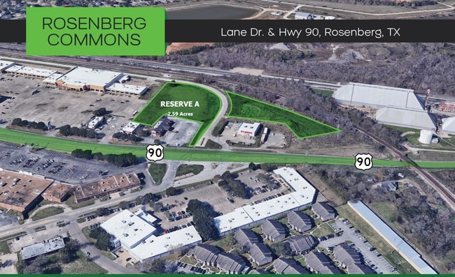
Property Record
Avenue H Dr, Richmond, TX 77469


Property Detail
Avenue H Dr
0023-00-000-0331-901
0023 J T EDWARDS, ACRES 3.2247, RESTRICTED RESERVE A-3, PART, R/P RANDALLS CENTER
Commercialnec
FORT BEND
S
Texas
B and X Area of moderate flood hazard, usually the area between the limits of the 100-year and 500-year floods.
2.21 AC
2024
Southwest Outlier
2025
Houston
675502
Houston-Pasadena-The Woodlands, TX
329,313 SF
NEARBY LISTINGS FOR SALE OR LEASE
DEMOGRAPHICS near Avenue H Dr
1 mile
3 mile
5 mile
2025 Total Population
11,836
62,302
130,902
2030 Population
13,492
71,052
149,459
Pop Growth 2025-2030
+ 13.99%
+ 14.04%
+ 14.18%
Average Age
37
39
38
2025 Total Households
4,104
21,728
44,547
HH Growth 2025-2030
+ 14.35%
+ 14.55%
+ 14.59%
Median Household Inc
$51,023
$74,543
$90,378
Avg Household Size
2.80
2.80
2.90
2025 Avg HH Vehicles
2.00
2.00
2.00
Median Home Value
$234,748
$287,036
$333,208
Median Year Built
1979
2000
2007
Nearby Places
Map Layers
Map Styles
 Street
 Aerial
Layers
 Traffic
 Biking
Places
Listings with unknown addresses are not visible on the map
- Restaurants
- Banks
- Shops
- Fitness
- Groceries
PUBLIC TRANSPORTATION
AIRPORT
William P Hobby
Drive
Walk
Distance
William P Hobby
54 min
34.8 mi
Freight Ports
Port of Houston
Drive
Walk
Distance
Port of Houston
55 min
36.9 mi
SALE & LEASE HISTORY
LISTING DATE
SALE/LEASE

Sep 24, 2016
For Sale
Jun 08, 2018
For Sale
Dec 11, 2020
For Sale
Aug 19, 2020
For Sale
Apr 13, 2020
For Sale
Nearby Properties
Address
Land Use
TOTAL SIZE
Lot Size
Zoning
Address
Land Use
TOTAL SIZE
Lot Size
Zoning
449,167 SF
73.44 AC
IY
Address
Land Use
TOTAL SIZE
Lot Size
Zoning
504,838 SF
30.59 AC
Address
Land Use
TOTAL SIZE
Lot Size
Zoning
283,393 SF
93.42 AC
Address
Land Use
TOTAL SIZE
Lot Size
Zoning
10.84 AC
Address
Land Use
TOTAL SIZE
Lot Size
Zoning
307,832 SF
14.06 AC
Address
Land Use
TOTAL SIZE
Lot Size
Zoning
Address
Land Use
TOTAL SIZE
Lot Size
Zoning
438,371 SF
132.75 AC
Address
Land Use
TOTAL SIZE
Lot Size
Zoning
78,077 SF
16.29 AC
Address
Land Use
TOTAL SIZE
Lot Size
Zoning
81,128 SF
8.98 AC
YNQS
Address
Land Use
TOTAL SIZE
Lot Size
Zoning
212,000 SF
0.49 AC
Address
Land Use
TOTAL SIZE
Lot Size
Zoning
169,798 SF
16.29 AC
Address
Land Use
TOTAL SIZE
Lot Size
Zoning
224,099 SF
11.85 AC
Address
Land Use
TOTAL SIZE
Lot Size
Zoning
Address
Land Use
TOTAL SIZE
Lot Size
Zoning
129,092 SF
9.55 AC
Address
Land Use
TOTAL SIZE
Lot Size
Zoning
16.23 AC
Address
Land Use
TOTAL SIZE
Lot Size
Zoning
Address
Land Use
TOTAL SIZE
Lot Size
Zoning
3,680 SF
38.68 AC
SMH
Address
Land Use
TOTAL SIZE
Lot Size
Zoning
20,000,000 SF
5 AC
Address
Land Use
TOTAL SIZE
Lot Size
Zoning
18.86 AC
Address
Land Use
TOTAL SIZE
Lot Size
Zoning
12.21 AC
Address
Land Use
TOTAL SIZE
Lot Size
Zoning
96,992 SF
14.76 AC
SM
Address
Land Use
TOTAL SIZE
Lot Size
Zoning
2,131 SF
17.68 AC
Address
Land Use
TOTAL SIZE
Lot Size
Zoning
28.37 AC
Z
Address
Land Use
TOTAL SIZE
Lot Size
Zoning
64.02 AC
YQ
Address
Land Use
TOTAL SIZE
Lot Size
Zoning
123,941 SF
11.24 AC
Address
Land Use
TOTAL SIZE
Lot Size
Zoning
94,080 SF
6.23 AC
H
Address
Land Use
TOTAL SIZE
Lot Size
Zoning
132,171 SF
8.86 AC
Address
Land Use
TOTAL SIZE
Lot Size
Zoning
46,959 SF
8.36 AC
S
Address
Land Use
TOTAL SIZE
Lot Size
Zoning
1,216 SF
24.38 AC
YZS
Address
Land Use
TOTAL SIZE
Lot Size
Zoning
103,380 SF
5.44 AC
NYX
The World's #1 Commercial Real Estate Marketplace
Connect with us
© 2026 CoStar Group
The information above has been obtained from sources believed reliable. While we do not doubt its accuracy we have not verified it and make no guarantee, warranty or representation about it. It is your responsibility to independently confirm its accuracy and completeness. Any projections, opinions, assumptions, or estimates used are for example only and do not represent the current or future performance of the property. The value of this transaction to you depends on tax and other factors which should be evaluated by your tax, financial, and legal advisors. You and your advisors should conduct a careful, independent investigation of the property to determine to your satisfaction the suitability of the property for your needs.