Property Record
Aviation Dr, Kingstree, SC 29556

Property Detail
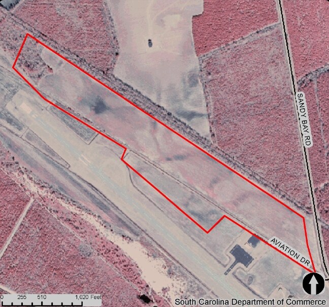
Aviation Dr
45-126-023
ADJOINS AIRPORT PROP SPLIT 45-126-002 TRACT# 1 CONTRACT OF SALE TO WMSBG CO A365-099 FOR 50,000 6/1/96 A375-044 RE-RECORDED A
Taxexempt
WILLIAMSBURG
B and X Area of moderate flood hazard, usually the area between the limits of the 100-year and 500-year floods.
South Carolina
0
South Carolina Rural Areas
2024
Other Market Areas
970502
NEARBY LISTINGS FOR SALE OR LEASE
-
-
View all Kingstree listings for sale on LoopNet.com
DEMOGRAPHICS near Aviation Dr
1 mile
3 mile
5 mile
2025 Total Population
81
2,523
8,267
2030 Population
78
2,461
8,153
Pop Growth 2025-2030
(3.70%)
(2.46%)
(1.38%)
Average Age
43
43
42
2025 Total Households
34
1,066
3,438
HH Growth 2025-2030
(2.94%)
(2.44%)
(1.40%)
Median Household Inc
$57,499
$51,727
$41,260
Avg Household Size
2.30
2.30
2.30
2025 Avg HH Vehicles
2.00
2.00
2.00
Median Home Value
$158,333
$119,883
$110,784
Median Year Built
1981
1981
1981
Nearby Places
Map Layers
Map Styles
 Street
 Aerial
Transit
 Traffic
 Biking
Places
Listings with unknown addresses are not visible on the map
- Restaurants
- Banks
- Shops
- Fitness
- Groceries
PUBLIC TRANSPORTATION
COMMUTER RAIL
Kingstree Amtrak Station (Palmetto - Amtrak, Silver Meteor - Amtrak)
Drive
Walk
Distance
Kingstree Amtrak Station (Palmetto - Amtrak, Silver Meteor - Amtrak)
11 min
4.7 mi
Freight Ports
North Charleston Terminal
Drive
Walk
Distance
North Charleston Terminal
93 min
68.3 mi
Nearby Properties
Address
Land Use
TOTAL SIZE
Lot Size
Zoning
Address
Land Use
TOTAL SIZE
Lot Size
Zoning
Address
Land Use
TOTAL SIZE
Lot Size
Zoning
Address
Land Use
TOTAL SIZE
Lot Size
Zoning
Address
Land Use
TOTAL SIZE
Lot Size
Zoning
1,456 SF
2 AC
Address
Land Use
TOTAL SIZE
Lot Size
Zoning
10.06 AC
Address
Land Use
TOTAL SIZE
Lot Size
Zoning
5,856 SF
Address
Land Use
TOTAL SIZE
Lot Size
Zoning
Address
Land Use
TOTAL SIZE
Lot Size
Zoning
1,938 SF
Address
Land Use
TOTAL SIZE
Lot Size
Zoning
11,628 SF
3 AC
Address
Land Use
TOTAL SIZE
Lot Size
Zoning
Address
Land Use
TOTAL SIZE
Lot Size
Zoning
3.20 AC
Address
Land Use
TOTAL SIZE
Lot Size
Zoning
17,736 SF
7 AC
Address
Land Use
TOTAL SIZE
Lot Size
Zoning
2,154 SF
1.90 AC
Address
Land Use
TOTAL SIZE
Lot Size
Zoning
1.70 AC
Address
Land Use
TOTAL SIZE
Lot Size
Zoning
2.10 AC
Address
Land Use
TOTAL SIZE
Lot Size
Zoning
Address
Land Use
TOTAL SIZE
Lot Size
Zoning
Address
Land Use
TOTAL SIZE
Lot Size
Zoning
2,374 SF
1.60 AC
Address
Land Use
TOTAL SIZE
Lot Size
Zoning
5.50 AC
Address
Land Use
TOTAL SIZE
Lot Size
Zoning
2.10 AC
Address
Land Use
TOTAL SIZE
Lot Size
Zoning
Address
Land Use
TOTAL SIZE
Lot Size
Zoning
5,073 SF
Address
Land Use
TOTAL SIZE
Lot Size
Zoning
64,000 SF
5 AC
Address
Land Use
TOTAL SIZE
Lot Size
Zoning
Address
Land Use
TOTAL SIZE
Lot Size
Zoning
3,702 SF
1.60 AC
Address
Land Use
TOTAL SIZE
Lot Size
Zoning
1,673 SF
The World's #1 Commercial Real Estate Marketplace
Connect with us
© 2026 CoStar Group
The information above has been obtained from sources believed reliable. While we do not doubt its accuracy we have not verified it and make no guarantee, warranty or representation about it. It is your responsibility to independently confirm its accuracy and completeness. Any projections, opinions, assumptions, or estimates used are for example only and do not represent the current or future performance of the property. The value of this transaction to you depends on tax and other factors which should be evaluated by your tax, financial, and legal advisors. You and your advisors should conduct a careful, independent investigation of the property to determine to your satisfaction the suitability of the property for your needs.