Property Record
Bagdad Rd, Leander, TX 78641

Property Detail
Bagdad Rd
Austin-Round Rock-San Marcos, TX
AW0006 AW0006 - HARMON, E. D. SUR., ACRES 4.672
R519004
WILLIAMSON
Commercialacreage
Texas
B and X Area of moderate flood hazard, usually the area between the limits of the 100-year and 500-year floods.
3.18 AC
2024
Cedar Park
2025
Austin
020338
NEARBY LISTINGS FOR SALE OR LEASE
-
-
-
-
-
-
-
-
-
-
-
-
-
-
U.S. Hwy 183-A (Toll Road) @ Covewind Bend Blvd
Leander, TX 78641
Rent Upon Request
5.54 AC Lots
Land
-
-
-
-
-
-
-
-
-
-
-
-
View all Leander listings for sale on LoopNet.com
DEMOGRAPHICS near Bagdad Rd
1 mile
3 mile
5 mile
2024 Total Population
17,596
70,892
129,102
2029 Population
22,706
89,831
163,020
Pop Growth 2024-2029
+ 29.04%
+ 26.72%
+ 26.27%
Average Age
36
36
37
2024 Total Households
5,984
24,282
44,663
HH Growth 2024-2029
+ 29.58%
+ 27.37%
+ 26.93%
Median Household Inc
$102,152
$107,103
$108,665
Avg Household Size
2.90
2.90
2.90
2024 Avg HH Vehicles
2.00
2.00
2.00
Median Home Value
$312,901
$387,383
$393,037
Median Year Built
2010
2009
2010
Nearby Places
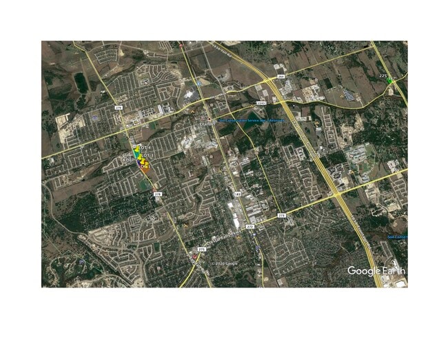
Map Layers
Map Styles
 Street
 Aerial
Transit
 Traffic
 Biking
Places
Listings with unknown addresses are not visible on the map
- Restaurants
- Banks
- Shops
- Fitness
- Groceries
PUBLIC TRANSPORTATION
AIRPORT
Austin-Bergstrom International
Drive
Walk
Distance
Austin-Bergstrom International
52 min
37.9 mi
Robert Gray AAF
Drive
Walk
Distance
Robert Gray AAF
64 min
41.3 mi
SALE & LEASE HISTORY
LISTING DATE
SALE/LEASE

Sep 02, 2020
For Sale
Nearby Properties
Address
Land Use
TOTAL SIZE
Lot Size
Zoning
Address
Land Use
TOTAL SIZE
Lot Size
Zoning
435,000 SF
88.70 AC
Address
Land Use
TOTAL SIZE
Lot Size
Zoning
106,000 SF
72.51 AC
Address
Land Use
TOTAL SIZE
Lot Size
Zoning
341,700 SF
17.71 AC
Address
Land Use
TOTAL SIZE
Lot Size
Zoning
1 SF
138.94 AC
Address
Land Use
TOTAL SIZE
Lot Size
Zoning
327,784 SF
22.95 AC
Address
Land Use
TOTAL SIZE
Lot Size
Zoning
310,297 SF
15.01 AC
Address
Land Use
TOTAL SIZE
Lot Size
Zoning
325,045 SF
22.75 AC
Address
Land Use
TOTAL SIZE
Lot Size
Zoning
31.42 AC
Address
Land Use
TOTAL SIZE
Lot Size
Zoning
246,060 SF
9.30 AC
Address
Land Use
TOTAL SIZE
Lot Size
Zoning
249,826 SF
37.40 AC
Address
Land Use
TOTAL SIZE
Lot Size
Zoning
238,420 SF
13.72 AC
Address
Land Use
TOTAL SIZE
Lot Size
Zoning
117,076 SF
15.51 AC
Address
Land Use
TOTAL SIZE
Lot Size
Zoning
238,343 SF
12.08 AC
Address
Land Use
TOTAL SIZE
Lot Size
Zoning
234,214 SF
19.63 AC
Address
Land Use
TOTAL SIZE
Lot Size
Zoning
195,426 SF
12.11 AC
Address
Land Use
TOTAL SIZE
Lot Size
Zoning
232,172 SF
10.43 AC
Address
Land Use
TOTAL SIZE
Lot Size
Zoning
341,700 SF
9.90 AC
Address
Land Use
TOTAL SIZE
Lot Size
Zoning
316,408 SF
15 AC
Address
Land Use
TOTAL SIZE
Lot Size
Zoning
193,600 SF
70.78 AC
Address
Land Use
TOTAL SIZE
Lot Size
Zoning
287,118 SF
3.94 AC
Address
Land Use
TOTAL SIZE
Lot Size
Zoning
193,011 SF
8.91 AC
Address
Land Use
TOTAL SIZE
Lot Size
Zoning
229,977 SF
16.85 AC
Address
Land Use
TOTAL SIZE
Lot Size
Zoning
94,861 SF
12.72 AC
Address
Land Use
TOTAL SIZE
Lot Size
Zoning
191,654 SF
4.57 AC
2-LI
Address
Land Use
TOTAL SIZE
Lot Size
Zoning
264,140 SF
21.37 AC
Address
Land Use
TOTAL SIZE
Lot Size
Zoning
194,695 SF
5.09 AC
Address
Land Use
TOTAL SIZE
Lot Size
Zoning
175,521 SF
14.76 AC
Address
Land Use
TOTAL SIZE
Lot Size
Zoning
193,864 SF
11.22 AC
Address
Land Use
TOTAL SIZE
Lot Size
Zoning
20.47 AC
Address
Land Use
TOTAL SIZE
Lot Size
Zoning
185,652 SF
10 AC
The World's #1 Commercial Real Estate Marketplace
Connect with us
© 2026 CoStar Group
The information above has been obtained from sources believed reliable. While we do not doubt its accuracy we have not verified it and make no guarantee, warranty or representation about it. It is your responsibility to independently confirm its accuracy and completeness. Any projections, opinions, assumptions, or estimates used are for example only and do not represent the current or future performance of the property. The value of this transaction to you depends on tax and other factors which should be evaluated by your tax, financial, and legal advisors. You and your advisors should conduct a careful, independent investigation of the property to determine to your satisfaction the suitability of the property for your needs.