Property Record
1001 S Berta Rd Foxgrove Dr, Coal City, IL 60416
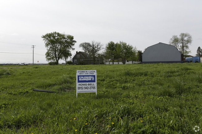

Property Detail
1001 S Berta Rd Foxgrove Dr
Chicago-Naperville-Elgin, IL-IN
MEADOW ESTATES SUB PHASE 1 - AMENDED PLAT LT 92 SEC 2-32-8
09-02-229-005
GRUNDY
Residentialacreage
Illinois
B and X Area of moderate flood hazard, usually the area between the limits of the 100-year and 500-year floods.
92
2024
1.26 AC
2024
Grundy County
000700
Chicago
NEARBY LISTINGS FOR SALE OR LEASE
DEMOGRAPHICS near 1001 S Berta Rd Foxgrove Dr
1 mile
3 mile
5 mile
2025 Total Population
4,869
14,264
21,409
2030 Population
4,994
14,638
22,109
Pop Growth 2025-2030
+ 2.57%
+ 2.62%
+ 3.27%
Average Age
39
40
41
2025 Total Households
1,929
5,535
8,545
HH Growth 2025-2030
+ 2.59%
+ 2.71%
+ 3.46%
Median Household Inc
$67,010
$79,835
$82,602
Avg Household Size
2.50
2.50
2.50
2025 Avg HH Vehicles
2.00
2.00
2.00
Median Home Value
$232,669
$239,457
$246,129
Median Year Built
1991
1989
1991
Nearby Places
Map Layers
Map Styles
 Street
 Aerial
Layers
 Traffic
 Biking
Places
Listings with unknown addresses are not visible on the map
- Restaurants
- Banks
- Shops
- Fitness
- Groceries
Nearby Properties
Address
Land Use
TOTAL SIZE
Lot Size
Zoning
Address
Land Use
TOTAL SIZE
Lot Size
Zoning
400,150 SF
91.77 AC
Address
Land Use
TOTAL SIZE
Lot Size
Zoning
11,086 SF
9.39 AC
Address
Land Use
TOTAL SIZE
Lot Size
Zoning
13.50 AC
Address
Land Use
TOTAL SIZE
Lot Size
Zoning
32.32 AC
Address
Land Use
TOTAL SIZE
Lot Size
Zoning
Address
Land Use
TOTAL SIZE
Lot Size
Zoning
1,333 SF
459.56 AC
Address
Land Use
TOTAL SIZE
Lot Size
Zoning
1,234 SF
27 AC
Address
Land Use
TOTAL SIZE
Lot Size
Zoning
463.85 AC
Address
Land Use
TOTAL SIZE
Lot Size
Zoning
446.18 AC
Address
Land Use
TOTAL SIZE
Lot Size
Zoning
7,692 SF
0.37 AC
Address
Land Use
TOTAL SIZE
Lot Size
Zoning
Address
Land Use
TOTAL SIZE
Lot Size
Zoning
Address
Land Use
TOTAL SIZE
Lot Size
Zoning
318.75 AC
Address
Land Use
TOTAL SIZE
Lot Size
Zoning
317.30 AC
Address
Land Use
TOTAL SIZE
Lot Size
Zoning
Address
Land Use
TOTAL SIZE
Lot Size
Zoning
Address
Land Use
TOTAL SIZE
Lot Size
Zoning
104.29 AC
Address
Land Use
TOTAL SIZE
Lot Size
Zoning
Address
Land Use
TOTAL SIZE
Lot Size
Zoning
1.01 AC
Address
Land Use
TOTAL SIZE
Lot Size
Zoning
1.06 AC
Address
Land Use
TOTAL SIZE
Lot Size
Zoning
0.97 AC
Address
Land Use
TOTAL SIZE
Lot Size
Zoning
Address
Land Use
TOTAL SIZE
Lot Size
Zoning
109.50 AC
Address
Land Use
TOTAL SIZE
Lot Size
Zoning
5,208 SF
0.23 AC
Address
Land Use
TOTAL SIZE
Lot Size
Zoning
0.50 AC
Address
Land Use
TOTAL SIZE
Lot Size
Zoning
Address
Land Use
TOTAL SIZE
Lot Size
Zoning
166.85 AC
Address
Land Use
TOTAL SIZE
Lot Size
Zoning
0.92 AC
Address
Land Use
TOTAL SIZE
Lot Size
Zoning
0.33 AC
Address
Land Use
TOTAL SIZE
Lot Size
Zoning
0.49 AC
The World's #1 Commercial Real Estate Marketplace
Connect with us
© 2026 CoStar Group
The information above has been obtained from sources believed reliable. While we do not doubt its accuracy we have not verified it and make no guarantee, warranty or representation about it. It is your responsibility to independently confirm its accuracy and completeness. Any projections, opinions, assumptions, or estimates used are for example only and do not represent the current or future performance of the property. The value of this transaction to you depends on tax and other factors which should be evaluated by your tax, financial, and legal advisors. You and your advisors should conduct a careful, independent investigation of the property to determine to your satisfaction the suitability of the property for your needs.