Property Record
Big Falls Rd, White Hall, MD 21161

Property Detail
Big Falls Rd
07-0702047250
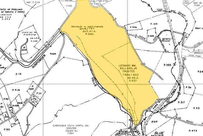
190.475 AC ES
Warehouse
BALTIMORE
ML
Maryland
A Areas with a 1% annual chance of flooding and a 26% chance of flooding over the life of a 30-year mortgage.
190.47 AC
2024
Route 83 Corridor North
2025
Baltimore
407002
Baltimore-Columbia-Towson, MD
5,000 SF
NEARBY LISTINGS FOR SALE OR LEASE
-
-
No Photo
-
View all White Hall listings for sale on LoopNet.com
DEMOGRAPHICS near Big Falls Rd
1 mile
3 mile
5 mile
2025 Total Population
328
4,533
11,697
2030 Population
326
4,494
11,602
Pop Growth 2025-2030
(0.61%)
(0.86%)
(0.81%)
Average Age
43
44
44
2025 Total Households
119
1,657
4,225
HH Growth 2025-2030
(0.84%)
(0.91%)
(0.88%)
Median Household Inc
$112,500
$121,785
$136,346
Avg Household Size
2.70
2.70
2.70
2025 Avg HH Vehicles
3.00
3.00
3.00
Median Home Value
$515,625
$575,997
$601,500
Median Year Built
1985
1982
1981
Nearby Places
Map Layers
Map Styles
 Street
 Aerial
Layers
 Traffic
 Biking
Places
Listings with unknown addresses are not visible on the map
- Restaurants
- Banks
- Shops
- Fitness
- Groceries
PUBLIC TRANSPORTATION
AIRPORT
Baltimore/Washington International Thurgood Marshall
Drive
Walk
Distance
Baltimore/Washington International Thurgood Marshall
56 min
38.1 mi
Freight Ports
Port of Baltimore
Drive
Walk
Distance
Port of Baltimore
49 min
29.9 mi
Nearby Properties
Address
Land Use
TOTAL SIZE
Lot Size
Zoning
Address
Land Use
TOTAL SIZE
Lot Size
Zoning
230,793 SF
103 AC
Address
Land Use
TOTAL SIZE
Lot Size
Zoning
10,927 SF
6.19 AC
Address
Land Use
TOTAL SIZE
Lot Size
Zoning
15,168 SF
0.80 AC
BM-CR
Address
Land Use
TOTAL SIZE
Lot Size
Zoning
5,128 SF
2.51 AC
Address
Land Use
TOTAL SIZE
Lot Size
Zoning
2,492 SF
228.70 AC
Address
Land Use
TOTAL SIZE
Lot Size
Zoning
21,988 SF
2 AC
Address
Land Use
TOTAL SIZE
Lot Size
Zoning
188.19 AC
Address
Land Use
TOTAL SIZE
Lot Size
Zoning
6,354 SF
24.72 AC
Address
Land Use
TOTAL SIZE
Lot Size
Zoning
11,420 SF
1.38 AC
BM-CR
Address
Land Use
TOTAL SIZE
Lot Size
Zoning
11,058 SF
1.19 AC
BLCR
Address
Land Use
TOTAL SIZE
Lot Size
Zoning
8,896 SF
34.26 AC
Address
Land Use
TOTAL SIZE
Lot Size
Zoning
9,885 SF
1.69 AC
BR-CR
Address
Land Use
TOTAL SIZE
Lot Size
Zoning
7,413 SF
16.40 AC
RC5
Address
Land Use
TOTAL SIZE
Lot Size
Zoning
7,051 SF
3.46 AC
Address
Land Use
TOTAL SIZE
Lot Size
Zoning
8,570 SF
3 AC
BM-CR
Address
Land Use
TOTAL SIZE
Lot Size
Zoning
8,570 SF
14.18 AC
Address
Land Use
TOTAL SIZE
Lot Size
Zoning
152.61 AC
Address
Land Use
TOTAL SIZE
Lot Size
Zoning
24,771 SF
1.56 AC
BR
Address
Land Use
TOTAL SIZE
Lot Size
Zoning
4,703 SF
78.19 AC
Address
Land Use
TOTAL SIZE
Lot Size
Zoning
15,002 SF
20.84 AC
RC2
Address
Land Use
TOTAL SIZE
Lot Size
Zoning
2,288 SF
1.73 AC
BR
Address
Land Use
TOTAL SIZE
Lot Size
Zoning
5,869 SF
10.03 AC
Address
Land Use
TOTAL SIZE
Lot Size
Zoning
19,086 SF
1.10 AC
BM-CR
Address
Land Use
TOTAL SIZE
Lot Size
Zoning
6,551 SF
18 AC
Address
Land Use
TOTAL SIZE
Lot Size
Zoning
7,693 SF
46.37 AC
Address
Land Use
TOTAL SIZE
Lot Size
Zoning
127.63 AC
Address
Land Use
TOTAL SIZE
Lot Size
Zoning
125.61 AC
Address
Land Use
TOTAL SIZE
Lot Size
Zoning
9,920 SF
1.09 AC
BR
Address
Land Use
TOTAL SIZE
Lot Size
Zoning
7,925 SF
47 AC
The World's #1 Commercial Real Estate Marketplace
Connect with us
© 2026 CoStar Group
The information above has been obtained from sources believed reliable. While we do not doubt its accuracy we have not verified it and make no guarantee, warranty or representation about it. It is your responsibility to independently confirm its accuracy and completeness. Any projections, opinions, assumptions, or estimates used are for example only and do not represent the current or future performance of the property. The value of this transaction to you depends on tax and other factors which should be evaluated by your tax, financial, and legal advisors. You and your advisors should conduct a careful, independent investigation of the property to determine to your satisfaction the suitability of the property for your needs.