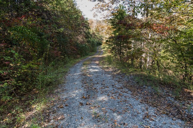
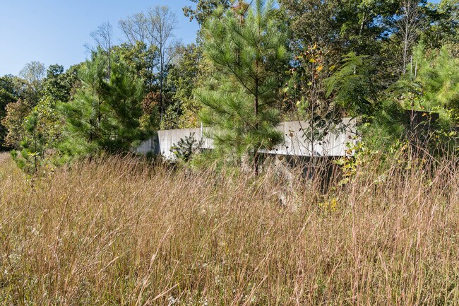
Property Record
Bill Collins Rd, Tryon, NC 28782

Property Detail
Bill Collins Rd
P84-21
100D, 100D 100D COUNTY RURAL
Vacantlandnec
POLK
MX
North Carolina
AE The base floodplain where base flood elevations are provided. AE Zones are now used on new format FIRMs instead of A1-A30 Zones.
76.32 AC
2025
North Carolina West/Cherokee Area
2025
Other Market Areas
920301
NEARBY LISTINGS FOR SALE OR LEASE
DEMOGRAPHICS near Bill Collins Rd
1 mile
3 mile
5 mile
2025 Total Population
348
3,087
8,574
2030 Population
358
3,173
8,814
Pop Growth 2025-2030
+ 2.87%
+ 2.79%
+ 2.80%
Average Age
47
48
48
2025 Total Households
149
1,310
3,690
HH Growth 2025-2030
+ 2.68%
+ 2.82%
+ 2.85%
Median Household Inc
$57,777
$55,000
$58,625
Avg Household Size
2.30
2.30
2.20
2025 Avg HH Vehicles
2.00
2.00
2.00
Median Home Value
$421,795
$399,009
$344,347
Median Year Built
1992
1991
1989
Nearby Places
Map Layers
Map Styles
 Street
 Aerial
Layers
 Traffic
 Biking
Places
Listings with unknown addresses are not visible on the map
- Restaurants
- Banks
- Shops
- Fitness
- Groceries
PUBLIC TRANSPORTATION
AIRPORT
Asheville Regional
Drive
Walk
Distance
Asheville Regional
48 min
34.8 mi
Greenville Spartanburg International
Drive
Walk
Distance
Greenville Spartanburg International
60 min
41.0 mi
Freight Ports
North Charleston Terminal
Drive
Walk
Distance
North Charleston Terminal
255 min
221.8 mi
SALE & LEASE HISTORY
LISTING DATE
SALE/LEASE

May 19, 2021
For Sale
Nearby Properties
Address
Land Use
TOTAL SIZE
Lot Size
Zoning
Address
Land Use
TOTAL SIZE
Lot Size
Zoning
2,091 SF
78.81 AC
MX
Address
Land Use
TOTAL SIZE
Lot Size
Zoning
8.38 AC
Address
Land Use
TOTAL SIZE
Lot Size
Zoning
1,816 SF
56.88 AC
MX
Address
Land Use
TOTAL SIZE
Lot Size
Zoning
74,862 SF
7.93 AC
I
Address
Land Use
TOTAL SIZE
Lot Size
Zoning
8,870 SF
0.83 AC
MX
Address
Land Use
TOTAL SIZE
Lot Size
Zoning
19,759 SF
6 AC
MX
Address
Land Use
TOTAL SIZE
Lot Size
Zoning
24.54 AC
MX
Address
Land Use
TOTAL SIZE
Lot Size
Zoning
2,849 SF
49.12 AC
Address
Land Use
TOTAL SIZE
Lot Size
Zoning
2,800 SF
6.51 AC
MX
Address
Land Use
TOTAL SIZE
Lot Size
Zoning
10.50 AC
Address
Land Use
TOTAL SIZE
Lot Size
Zoning
Address
Land Use
TOTAL SIZE
Lot Size
Zoning
10.24 AC
MX
Address
Land Use
TOTAL SIZE
Lot Size
Zoning
13.01 AC
Address
Land Use
TOTAL SIZE
Lot Size
Zoning
Address
Land Use
TOTAL SIZE
Lot Size
Zoning
7,534 SF
3.99 AC
OPEN
Address
Land Use
TOTAL SIZE
Lot Size
Zoning
5,220 SF
19.65 AC
MX
Address
Land Use
TOTAL SIZE
Lot Size
Zoning
3,600 SF
1.41 AC
HC
Address
Land Use
TOTAL SIZE
Lot Size
Zoning
2.54 AC
OPEN
Address
Land Use
TOTAL SIZE
Lot Size
Zoning
107.87 AC
MX
Address
Land Use
TOTAL SIZE
Lot Size
Zoning
11.50 AC
Address
Land Use
TOTAL SIZE
Lot Size
Zoning
2,499 SF
2.16 AC
MX
Address
Land Use
TOTAL SIZE
Lot Size
Zoning
2.12 AC
MX
Address
Land Use
TOTAL SIZE
Lot Size
Zoning
3,099 SF
21 AC
MX
Address
Land Use
TOTAL SIZE
Lot Size
Zoning
11.50 AC
Address
Land Use
TOTAL SIZE
Lot Size
Zoning
23.78 AC
AR5
Address
Land Use
TOTAL SIZE
Lot Size
Zoning
22.54 AC
OPEN
Address
Land Use
TOTAL SIZE
Lot Size
Zoning
7,970 SF
1.79 AC
Address
Land Use
TOTAL SIZE
Lot Size
Zoning
640 SF
14.24 AC
MX
Address
Land Use
TOTAL SIZE
Lot Size
Zoning
2,370 SF
1.40 AC
Address
Land Use
TOTAL SIZE
Lot Size
Zoning
3,784 SF
1.85 AC
MX
The World's #1 Commercial Real Estate Marketplace
Connect with us
© 2026 CoStar Group
The information above has been obtained from sources believed reliable. While we do not doubt its accuracy we have not verified it and make no guarantee, warranty or representation about it. It is your responsibility to independently confirm its accuracy and completeness. Any projections, opinions, assumptions, or estimates used are for example only and do not represent the current or future performance of the property. The value of this transaction to you depends on tax and other factors which should be evaluated by your tax, financial, and legal advisors. You and your advisors should conduct a careful, independent investigation of the property to determine to your satisfaction the suitability of the property for your needs.